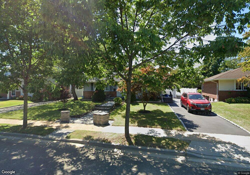
380 Coleridge St Levittown, NY 11756
Estimated Value: $626,000 - $679,205
--
Bed
1
Bath
1,036
Sq Ft
$630/Sq Ft
Est. Value
About This Home
This home is located at 380 Coleridge St, Levittown, NY 11756 and is currently estimated at $652,603, approximately $629 per square foot. 380 Coleridge St is a home located in Nassau County with nearby schools including Michael F. Stokes Elementary School, J Fred Sparke Elementary School, and Island Trees Middle School.
Ownership History
Date
Name
Owned For
Owner Type
Purchase Details
Closed on
Dec 29, 2005
Sold by
Gorre Anastasia
Current Estimated Value
Purchase Details
Closed on
Dec 1, 2002
Sold by
Herguth Kevin
Purchase Details
Closed on
Aug 10, 1999
Sold by
Cochran Michael E and Cochran Nancy
Bought by
Herguth Kevin and Herguth Anastasia
Home Financials for this Owner
Home Financials are based on the most recent Mortgage that was taken out on this home.
Original Mortgage
$171,000
Interest Rate
7%
Mortgage Type
Purchase Money Mortgage
Create a Home Valuation Report for This Property
The Home Valuation Report is an in-depth analysis detailing your home's value as well as a comparison with similar homes in the area
Home Values in the Area
Average Home Value in this Area
Purchase History
| Date | Buyer | Sale Price | Title Company |
|---|---|---|---|
| -- | -- | -- | |
| -- | -- | -- | |
| Herguth Kevin | $195,000 | Stewart Title Insurance Co |
Source: Public Records
Mortgage History
| Date | Status | Borrower | Loan Amount |
|---|---|---|---|
| Previous Owner | Herguth Kevin | $171,000 |
Source: Public Records
Tax History Compared to Growth
Tax History
| Year | Tax Paid | Tax Assessment Tax Assessment Total Assessment is a certain percentage of the fair market value that is determined by local assessors to be the total taxable value of land and additions on the property. | Land | Improvement |
|---|---|---|---|---|
| 2025 | $10,525 | $453 | $305 | $148 |
| 2024 | $3,289 | $453 | $305 | $148 |
| 2023 | $10,496 | $453 | $305 | $148 |
| 2022 | $10,496 | $453 | $305 | $148 |
| 2021 | $12,667 | $432 | $291 | $141 |
| 2020 | $9,424 | $650 | $550 | $100 |
| 2019 | $9,218 | $650 | $550 | $100 |
| 2018 | $8,631 | $650 | $0 | $0 |
| 2017 | $4,827 | $650 | $550 | $100 |
| 2016 | $7,665 | $650 | $550 | $100 |
| 2015 | $2,649 | $650 | $550 | $100 |
| 2014 | $2,649 | $650 | $550 | $100 |
| 2013 | $2,484 | $650 | $550 | $100 |
Source: Public Records
Map
Nearby Homes
- 243 Elm Dr S
- 3842 Whitman St
- 294 Swansdowne Dr
- 49 Griddle Ln
- 3977 Wellwood Rd
- 3805 Colonial Ct
- 34 Ripple Ln
- 4218 Florence Rd
- 520 Ann Ln
- 4195 Florence Rd
- 19 Griddle Ln
- 17 Rural Ln
- 4278 Clarissa Rd
- 3715 Regent Ln
- 3980 Kingsberry Rd
- 6 Regal Ln
- 3621 Regent Ln
- 647 Seamans Neck Rd
- 43 Crag Ln
- 89 Tanners Ln