380 Comstock Rd Shelbyville, TN 37160
Estimated Value: $283,362 - $334,000
--
Bed
2
Baths
1,560
Sq Ft
$196/Sq Ft
Est. Value
About This Home
This home is located at 380 Comstock Rd, Shelbyville, TN 37160 and is currently estimated at $306,454, approximately $196 per square foot. 380 Comstock Rd is a home located in Bedford County with nearby schools including Liberty Elementary School.
Ownership History
Date
Name
Owned For
Owner Type
Purchase Details
Closed on
Mar 7, 2016
Sold by
Saylor Donald F
Bought by
Taylor Donald W and Taylor Elizabeth A
Current Estimated Value
Home Financials for this Owner
Home Financials are based on the most recent Mortgage that was taken out on this home.
Original Mortgage
$92,000
Outstanding Balance
$72,788
Interest Rate
3.72%
Mortgage Type
New Conventional
Estimated Equity
$233,666
Purchase Details
Closed on
Aug 26, 1997
Sold by
Deaver Terry E
Bought by
Saylor Donald and Saylor Irene
Purchase Details
Closed on
Aug 7, 1991
Bought by
Deaver Terry E
Purchase Details
Closed on
Jan 1, 1985
Bought by
Watkins Duncan and Watkins Linda K
Create a Home Valuation Report for This Property
The Home Valuation Report is an in-depth analysis detailing your home's value as well as a comparison with similar homes in the area
Home Values in the Area
Average Home Value in this Area
Purchase History
| Date | Buyer | Sale Price | Title Company |
|---|---|---|---|
| Taylor Donald W | $115,000 | -- | |
| Saylor Donald | $75,000 | -- | |
| Deaver Terry E | $68,000 | -- | |
| Watkins Duncan | $14,000 | -- |
Source: Public Records
Mortgage History
| Date | Status | Borrower | Loan Amount |
|---|---|---|---|
| Open | Taylor Donald W | $92,000 |
Source: Public Records
Tax History Compared to Growth
Tax History
| Year | Tax Paid | Tax Assessment Tax Assessment Total Assessment is a certain percentage of the fair market value that is determined by local assessors to be the total taxable value of land and additions on the property. | Land | Improvement |
|---|---|---|---|---|
| 2025 | $943 | $40,550 | $0 | $0 |
| 2024 | $943 | $40,550 | $8,975 | $31,575 |
| 2023 | $943 | $40,550 | $8,975 | $31,575 |
| 2022 | $943 | $40,550 | $8,975 | $31,575 |
| 2021 | $797 | $40,550 | $8,975 | $31,575 |
| 2020 | $764 | $40,550 | $8,975 | $31,575 |
| 2019 | $764 | $28,725 | $6,875 | $21,850 |
| 2018 | $735 | $28,725 | $6,875 | $21,850 |
| 2017 | $735 | $28,725 | $6,875 | $21,850 |
| 2016 | $724 | $28,725 | $6,875 | $21,850 |
| 2015 | $724 | $28,725 | $6,875 | $21,850 |
| 2014 | $652 | $28,718 | $0 | $0 |
Source: Public Records
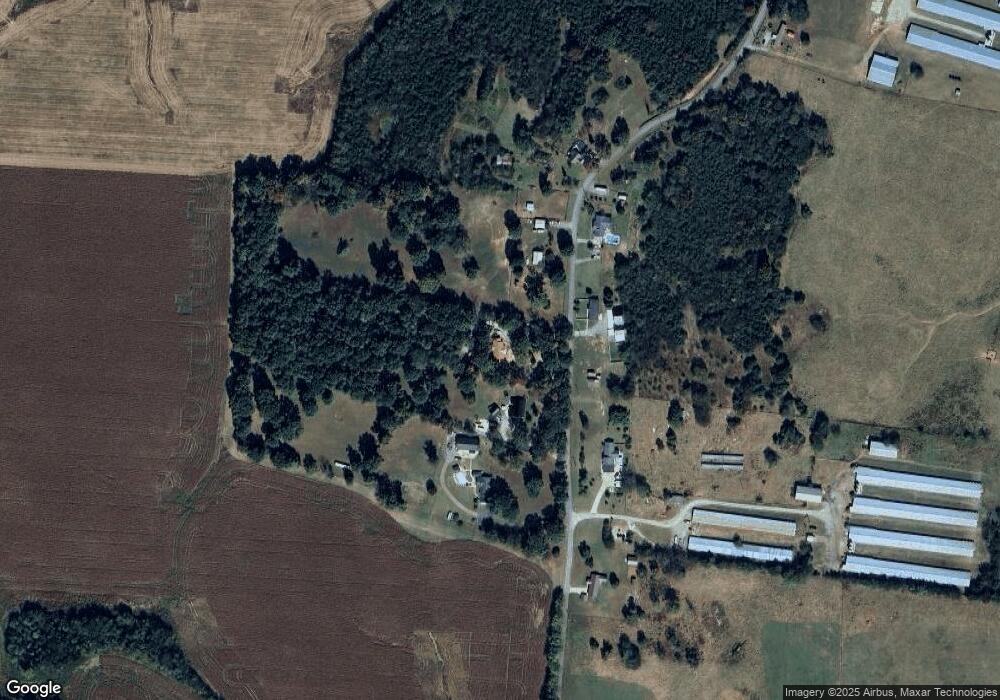
Map
Nearby Homes
- 0 Sims Rd
- 245 Henslee Rd
- 2028 Highway 64 W
- 395 Harrison Rd
- 163 Gant Rd
- 0 Pass Rd
- 320 Pass Rd
- 422 Bethlehem Church Rd
- 143 Coble Rd
- 2154 Highway 64 W
- 332 Coble Rd
- 0 Dixon Rd Unit RTC3045417
- 388 Coble Rd
- 321 Dixon Rd
- 1614 Warner Bridge Rd
- 0 Henderson Rd
- 0 Knight Campground Rd
- 3 Knight Campground Rd
- 8 Farris Ln
- 4 Pass Rd
- 392 Comstock Rd
- 0 Comstock Rd
- 370 Comstock Rd
- 377 Comstock Rd
- 398 Comstock Rd
- 397 Comstock Rd
- 365 Comstock Rd
- 358 Comstock Rd
- 407 Comstock Rd
- 335 Comstock Rd
- 453 Comstock Rd
- 286 Comstock Rd
- 254 Comstock Rd
- 264 Thompson Ln
- 248 Thompson Ln
- 248 Comstock Rd
- 498 Comstock Rd
- 208 Thompson Ln
- 0 Hwy 64-W
- 235 Comstock Rd