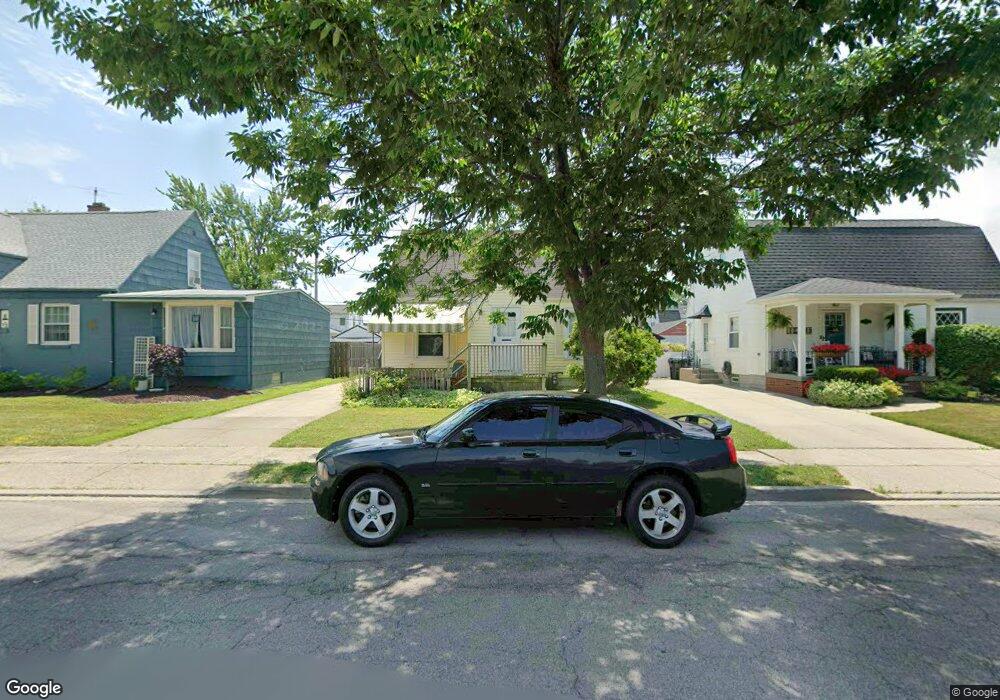
380 Mang Ave Buffalo, NY 14217
Estimated Value: $196,000 - $226,927
3
Beds
1
Bath
1,022
Sq Ft
$204/Sq Ft
Est. Value
About This Home
This home is located at 380 Mang Ave, Buffalo, NY 14217 and is currently estimated at $208,232, approximately $203 per square foot. 380 Mang Ave is a home located in Erie County with nearby schools including Charles A Lindbergh Elementary School, Herbert Hoover Middle School, and Kenmore West Senior High School.
Ownership History
Date
Name
Owned For
Owner Type
Purchase Details
Closed on
Jan 25, 2018
Sold by
Juliano Viola R
Bought by
Drews Nicholas C
Current Estimated Value
Create a Home Valuation Report for This Property
The Home Valuation Report is an in-depth analysis detailing your home's value as well as a comparison with similar homes in the area
Home Values in the Area
Average Home Value in this Area
Purchase History
| Date | Buyer | Sale Price | Title Company |
|---|---|---|---|
| Drews Nicholas C | -- | None Available |
Source: Public Records
Tax History Compared to Growth
Tax History
| Year | Tax Paid | Tax Assessment Tax Assessment Total Assessment is a certain percentage of the fair market value that is determined by local assessors to be the total taxable value of land and additions on the property. | Land | Improvement |
|---|---|---|---|---|
| 2024 | $5,937 | $38,000 | $7,400 | $30,600 |
| 2023 | $5,797 | $38,000 | $7,400 | $30,600 |
| 2022 | $5,103 | $38,000 | $7,400 | $30,600 |
| 2021 | $3,134 | $38,000 | $7,400 | $30,600 |
| 2020 | $4,500 | $38,000 | $7,400 | $30,600 |
| 2019 | $937 | $38,000 | $7,400 | $30,600 |
| 2018 | $3,943 | $38,000 | $7,400 | $30,600 |
| 2017 | $332 | $38,000 | $7,400 | $30,600 |
| 2016 | $1,504 | $38,000 | $7,400 | $30,600 |
| 2015 | -- | $38,000 | $7,400 | $30,600 |
| 2014 | -- | $38,000 | $7,400 | $30,600 |
Source: Public Records
Map
Nearby Homes
- 384 Mang Ave
- 385 Tremaine Ave
- 379 Victoria Blvd
- 423 Tremaine Ave
- 387 W Hazeltine Ave
- 332 Westgate Rd
- 330 W Hazeltine Ave
- 242 Hoover Ave
- 264 Victoria Blvd
- 277 Westgate Rd
- 372 Tremont Ave
- 254 Westgate Rd
- 1862 Kenmore Ave
- 46 Blum Ave
- 2473 Elmwood Ave
- 184 Lasalle Ave
- 194 Westgate Rd
- 175 W Hazeltine Ave
- 412 Hamilton Blvd
- 197 Tremont Ave