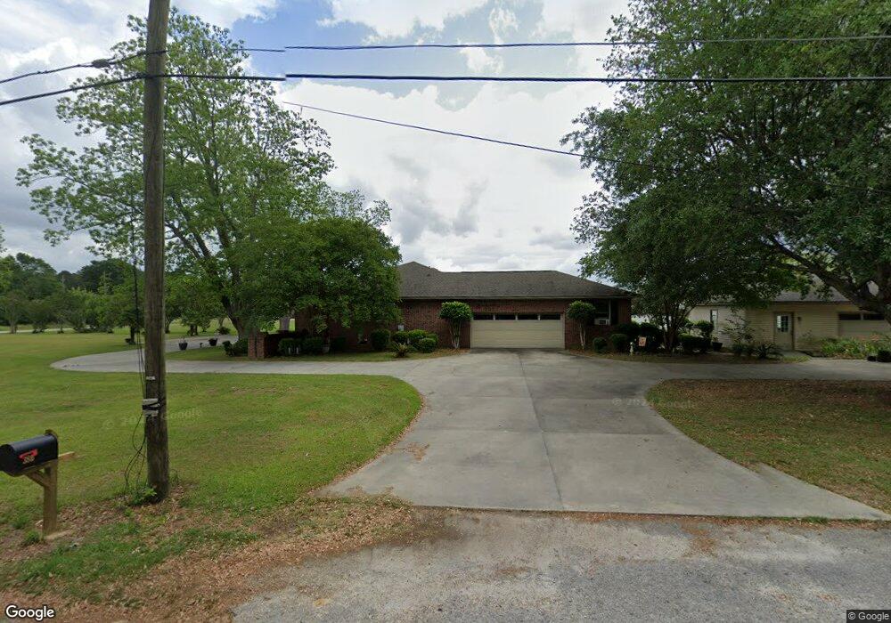
380 Old Georgetown Rd Unit 1.32 Manning, SC 29102
Estimated Value: $387,000 - $392,000
3
Beds
3
Baths
2,757
Sq Ft
$141/Sq Ft
Est. Value
About This Home
This home is located at 380 Old Georgetown Rd Unit 1.32, Manning, SC 29102 and is currently estimated at $389,582, approximately $141 per square foot. 380 Old Georgetown Rd Unit 1.32 is a home located in Clarendon County with nearby schools including Manning Early Childhood Center, Manning Primary School, and Manning Elementary School.
Ownership History
Date
Name
Owned For
Owner Type
Purchase Details
Closed on
Oct 7, 2025
Sold by
John E Lindak E and John Judy B
Bought by
Gray Dakota Brian and Gray Sarah Jane
Current Estimated Value
Home Financials for this Owner
Home Financials are based on the most recent Mortgage that was taken out on this home.
Original Mortgage
$335,775
Outstanding Balance
$335,775
Interest Rate
6.56%
Mortgage Type
FHA
Estimated Equity
$53,807
Purchase Details
Closed on
Jun 20, 2018
Sold by
Lindak John E and Lindak Judy B
Bought by
Lindak John E and Lindak Judy B
Purchase Details
Closed on
Oct 27, 2011
Sold by
Landry William J and Landry Helen Murray
Bought by
Lindak John E and Lindak Judy B
Home Financials for this Owner
Home Financials are based on the most recent Mortgage that was taken out on this home.
Original Mortgage
$258,000
Interest Rate
4.16%
Mortgage Type
New Conventional
Create a Home Valuation Report for This Property
The Home Valuation Report is an in-depth analysis detailing your home's value as well as a comparison with similar homes in the area
Home Values in the Area
Average Home Value in this Area
Purchase History
| Date | Buyer | Sale Price | Title Company |
|---|---|---|---|
| Gray Dakota Brian | $390,000 | None Listed On Document | |
| Lindak John E | -- | None Available | |
| Lindak John E | $215,000 | None Available |
Source: Public Records
Mortgage History
| Date | Status | Borrower | Loan Amount |
|---|---|---|---|
| Open | Gray Dakota Brian | $335,775 | |
| Previous Owner | Lindak John E | $258,000 |
Source: Public Records
Tax History Compared to Growth
Tax History
| Year | Tax Paid | Tax Assessment Tax Assessment Total Assessment is a certain percentage of the fair market value that is determined by local assessors to be the total taxable value of land and additions on the property. | Land | Improvement |
|---|---|---|---|---|
| 2024 | $2,274 | $9,536 | $880 | $8,656 |
| 2023 | $2,179 | $9,536 | $880 | $8,656 |
| 2022 | $2,157 | $9,536 | $880 | $8,656 |
| 2021 | $1,985 | $8,728 | $880 | $7,848 |
| 2020 | $1,985 | $8,728 | $880 | $7,848 |
| 2019 | $1,896 | $8,728 | $880 | $7,848 |
| 2018 | $1,848 | $8,728 | $0 | $0 |
| 2017 | $1,826 | $8,728 | $0 | $0 |
| 2016 | $1,823 | $8,728 | $0 | $0 |
| 2015 | $1,789 | $8,984 | $880 | $8,104 |
| 2014 | $1,793 | $8,984 | $880 | $8,104 |
| 2013 | -- | $8,984 | $880 | $8,104 |
Source: Public Records
Map
Nearby Homes
- 406 Thames St
- 416 Thames St
- 107 Sumter St
- 101 Sumter St
- 1111 Foxbrook Ln
- 409 W Boyce St
- 40 W Rigby St
- 200 W Boyce St
- 1000 Carolina Way
- 5301 Cypress Pointe #D301
- 250 Dyson St
- 204 Drayton St
- 387 Drayton St
- W Huggins St
- 202 E Huggins St
- 408 Toccoa Dr
- TBD Old Georgetown Rd @ I95
- TBD Barnwell St
- 138 Nelson Cir
- 404 S Church St
- 253 Andrew Dr
- 140 Morgan Dr
- 400 Old Georgetown Rd
- 249 Andrew Dr
- 83 Manchester Dr
- 132 Morgan Dr
- 245 Andrew Dr
- 258 Andrew Dr
- 254 Andrews Dr
- 237 Andrews Dr
- 250 Andrews Dr
- 00 Manchester Dr
- 0 Manchester Dr
- 125 Manchester Dr
- 246 Andrew Dr
- 551 Manchester Dr
- 242 Andrews Dr
- 121 Morgan Dr
- 345 Old Georgetown Rd
- 233 Andrews Dr