380 State Route 41 Bainbridge, OH 45612
Estimated Value: $744,094 - $1,034,000
3
Beds
3
Baths
3,522
Sq Ft
$241/Sq Ft
Est. Value
About This Home
This home is located at 380 State Route 41, Bainbridge, OH 45612 and is currently estimated at $847,698, approximately $240 per square foot. 380 State Route 41 is a home with nearby schools including Western Elementary School and Western High School.
Ownership History
Date
Name
Owned For
Owner Type
Purchase Details
Closed on
Jan 22, 2021
Sold by
Bright Cecil and Bright Linda
Bought by
Lamb Travis M and Lamb Amy L
Current Estimated Value
Home Financials for this Owner
Home Financials are based on the most recent Mortgage that was taken out on this home.
Original Mortgage
$518,500
Outstanding Balance
$461,863
Interest Rate
2.6%
Mortgage Type
Purchase Money Mortgage
Estimated Equity
$385,835
Purchase Details
Closed on
May 21, 2012
Sold by
Wells Malinda J
Bought by
Bright Ii Cecil W and Bright Linda K
Home Financials for this Owner
Home Financials are based on the most recent Mortgage that was taken out on this home.
Original Mortgage
$268,785
Interest Rate
3.89%
Mortgage Type
New Conventional
Purchase Details
Closed on
Jun 3, 2011
Sold by
Wells Malinda
Bought by
Bright Ii Cecil W and Bright Linda K
Create a Home Valuation Report for This Property
The Home Valuation Report is an in-depth analysis detailing your home's value as well as a comparison with similar homes in the area
Home Values in the Area
Average Home Value in this Area
Purchase History
| Date | Buyer | Sale Price | Title Company |
|---|---|---|---|
| Lamb Travis M | $610,000 | None Available | |
| Bright Ii Cecil W | -- | None Available | |
| Bright Cecil W | $630,000 | None Available | |
| Bright Ii Cecil W | -- | None Available |
Source: Public Records
Mortgage History
| Date | Status | Borrower | Loan Amount |
|---|---|---|---|
| Open | Lamb Travis M | $518,500 | |
| Previous Owner | Bright Cecil W | $268,785 |
Source: Public Records
Tax History Compared to Growth
Tax History
| Year | Tax Paid | Tax Assessment Tax Assessment Total Assessment is a certain percentage of the fair market value that is determined by local assessors to be the total taxable value of land and additions on the property. | Land | Improvement |
|---|---|---|---|---|
| 2024 | $3,550 | $130,430 | $33,740 | $96,690 |
| 2023 | $3,550 | $130,430 | $33,740 | $96,690 |
| 2022 | $2,547 | $95,160 | $15,830 | $79,330 |
| 2021 | $2,968 | $129,250 | $51,830 | $77,420 |
| 2020 | $2,989 | $129,250 | $51,830 | $77,420 |
| 2019 | $3,727 | $169,490 | $101,350 | $68,140 |
| 2018 | $4,169 | $115,990 | $47,850 | $68,140 |
| 2017 | $4,128 | $115,990 | $47,850 | $68,140 |
| 2016 | $4,609 | $140,020 | $50,550 | $89,470 |
| 2015 | $4,611 | $140,020 | $50,550 | $89,470 |
| 2014 | $4,686 | $139,610 | $50,140 | $89,470 |
| 2013 | $3,475 | $96,130 | $6,660 | $89,470 |
| 2012 | $3,565 | $96,130 | $6,660 | $89,470 |
Source: Public Records
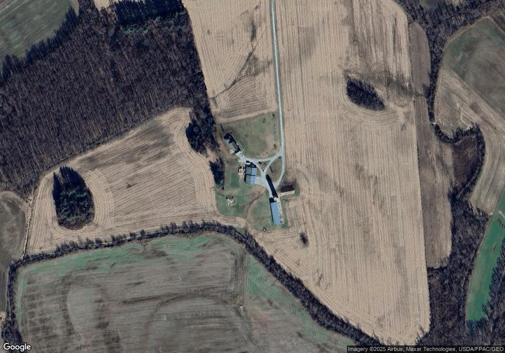
Map
Nearby Homes
- 5283 Drybone Rd
- 1646 Bell Hollow Rd
- 0 Maple Dr Unit 1841507
- 61 Maple Dr
- 355 Maple Dr
- 14703 Brier Rd
- 3750 Ohio 124
- 779 Lapperell Rd
- 9 Sugar St
- 4999 Auerville Rd
- 7724 Cave Rd
- 0 Green Ridge Rd Unit 198065
- 0 Green Ridge Rd Unit 22808921
- 0 Green Ridge Rd Unit 1832842
- 6838 McCoppin Mill Rd
- 1437 Green Ridge Rd
- 0 Nace Corner Rd
- 12466 Sinking Spring Rd
- 0 Schmidt Rd
- 380 State Route 41
- 380 State Route 41
- 210 State Route 41
- 722 State Route 41
- 382 E St Rt 41
- 585 S St Rt 41
- 943 Beech Flats Rd
- 4949 State Route 41
- 4949 St Rt 41
- 5837 Dry Bone Rd
- 2718 Beech Flats Rd
- 1110 Beech Flats Rd
- 14350 Couch Rd
- 1356 Beech Flats Rd
- 6271 Dry Bone Rd
- 443 State Route 41
- 5940 Dry Bone Rd
- 5590 Dry Bone Rd
- 1149 State Route 41
- 1546 Beech Flats Rd