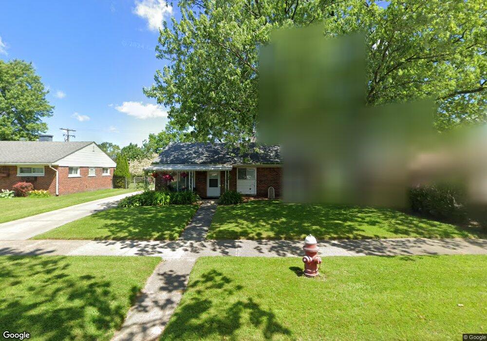
3801 Michael Ave Warren, MI 48091
Southwest Warren NeighborhoodEstimated Value: $161,000 - $177,000
3
Beds
1
Bath
1,092
Sq Ft
$154/Sq Ft
Est. Value
About This Home
This home is located at 3801 Michael Ave, Warren, MI 48091 and is currently estimated at $168,357, approximately $154 per square foot. 3801 Michael Ave is a home located in Macomb County with nearby schools including Schofield Elementary School, Mound Park Elementary School, and Westview Elementary School.
Ownership History
Date
Name
Owned For
Owner Type
Purchase Details
Closed on
Mar 23, 2009
Sold by
Deutsche Bank National Trust Company
Bought by
Lakeway Associates Llc
Current Estimated Value
Purchase Details
Closed on
Jun 27, 2008
Sold by
Cook Kimberly
Bought by
Deutsche Bank National Trust Co and Ffmlt Trust 2006-Ff13 Mortgage Pass Thro
Purchase Details
Closed on
Jun 23, 2006
Sold by
Walley Tamera and Walley Trent
Bought by
Cook Kimberly
Create a Home Valuation Report for This Property
The Home Valuation Report is an in-depth analysis detailing your home's value as well as a comparison with similar homes in the area
Home Values in the Area
Average Home Value in this Area
Purchase History
| Date | Buyer | Sale Price | Title Company |
|---|---|---|---|
| Lakeway Associates Llc | $24,000 | C E M Title Agency Inc | |
| Deutsche Bank National Trust Co | $49,519 | None Available | |
| Cook Kimberly | $104,900 | Colonial Title Company |
Source: Public Records
Tax History
| Year | Tax Paid | Tax Assessment Tax Assessment Total Assessment is a certain percentage of the fair market value that is determined by local assessors to be the total taxable value of land and additions on the property. | Land | Improvement |
|---|---|---|---|---|
| 2025 | $2,018 | $80,910 | $0 | $0 |
| 2024 | $20 | $73,780 | $0 | $0 |
| 2023 | $1,869 | $63,620 | $0 | $0 |
| 2022 | $1,768 | $55,250 | $0 | $0 |
| 2021 | $1,813 | $52,060 | $0 | $0 |
| 2020 | $1,743 | $45,530 | $0 | $0 |
| 2019 | $1,665 | $35,810 | $0 | $0 |
| 2018 | $1,600 | $27,380 | $0 | $0 |
| 2017 | $1,585 | $26,770 | $3,100 | $23,670 |
| 2016 | $1,555 | $26,770 | $0 | $0 |
| 2015 | -- | $24,780 | $0 | $0 |
| 2013 | $4,614 | $21,420 | $0 | $0 |
Source: Public Records
Map
Nearby Homes
- 3925 Toepfer Rd
- 3701 Berkshire Ave
- 3409 Jarvis Ave
- 21857 Le Fever Ave
- 3039 Pearl Ave
- 22200 Le Fever Ave
- 3167 Berkshire Ave
- 1936 Pearl Ave
- 21840 Cunningham Ave
- 21044 Sunset Ave
- 3313 Dallas Ave
- 22694 Le Fever Ave
- 4061 E 8 Mile Rd
- 3571 Los Angeles Ave
- 3471 Los Angeles Ave
- 2746 John B Ave
- 20506 Revere St
- 20575 Dean St
- 2195 Michael Ave
- 21505 Audrey Ave
- 3749 Michael Ave
- 3825 Michael Ave
- 3800 Garrick Ave
- 3737 Michael Ave
- 3812 Garrick Ave
- 3748 Garrick Ave
- 3736 Garrick Ave
- 3802 Michael Ave
- 3750 Michael Ave
- 3725 Michael Ave
- 3812 Michael Ave
- 3738 Michael Ave
- 3724 Garrick Ave
- 3850 Michael Ave
- 3838 Michael Ave
- 7025 Michael Ave
- 3862 Michael Ave
- 3820 Michael Ave
- 3713 Michael Ave
- 3828 Michael Ave
Your Personal Tour Guide
Ask me questions while you tour the home.