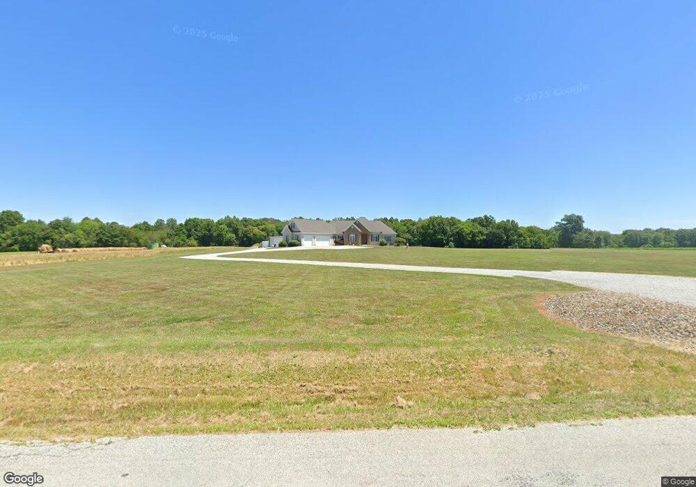
3802 Alliance Rd Rootstown, OH 44272
Estimated Value: $351,000 - $535,293
3
Beds
3
Baths
2,415
Sq Ft
$182/Sq Ft
Est. Value
About This Home
This home is located at 3802 Alliance Rd, Rootstown, OH 44272 and is currently estimated at $439,073, approximately $181 per square foot. 3802 Alliance Rd is a home with nearby schools including Southeast High School.
Ownership History
Date
Name
Owned For
Owner Type
Purchase Details
Closed on
Aug 3, 2012
Sold by
Blankenship Jason E
Bought by
Blankenship Jason E and Blankenship Brenda M
Current Estimated Value
Home Financials for this Owner
Home Financials are based on the most recent Mortgage that was taken out on this home.
Original Mortgage
$208,000
Interest Rate
3.65%
Mortgage Type
New Conventional
Create a Home Valuation Report for This Property
The Home Valuation Report is an in-depth analysis detailing your home's value as well as a comparison with similar homes in the area
Purchase History
| Date | Buyer | Sale Price | Title Company |
|---|---|---|---|
| Blankenship Jason E | -- | Attorney |
Source: Public Records
Mortgage History
| Date | Status | Borrower | Loan Amount |
|---|---|---|---|
| Closed | Blankenship Jason E | $208,000 |
Source: Public Records
Tax History
| Year | Tax Paid | Tax Assessment Tax Assessment Total Assessment is a certain percentage of the fair market value that is determined by local assessors to be the total taxable value of land and additions on the property. | Land | Improvement |
|---|---|---|---|---|
| 2025 | $5,726 | $154,840 | $15,190 | $139,650 |
| 2024 | $5,595 | $154,840 | $15,190 | $139,650 |
| 2023 | $4,714 | $118,020 | $11,130 | $106,890 |
| 2022 | $4,896 | $118,020 | $11,130 | $106,890 |
| 2021 | $4,938 | $118,020 | $11,130 | $106,890 |
| 2020 | $4,158 | $95,310 | $11,130 | $84,180 |
| 2019 | $4,168 | $95,310 | $11,130 | $84,180 |
| 2018 | $4,015 | $86,490 | $12,810 | $73,680 |
| 2017 | $4,015 | $86,490 | $12,810 | $73,680 |
| 2016 | $4,000 | $86,490 | $12,810 | $73,680 |
| 2015 | $3,837 | $86,490 | $12,810 | $73,680 |
| 2014 | $3,660 | $80,890 | $12,810 | $68,080 |
| 2013 | $3,623 | $80,890 | $12,810 | $68,080 |
Source: Public Records
Map
Nearby Homes
- 8464 & 8446 Tallmadge Rd
- 8492 & 8476 Tallmadge Rd
- 3545 Porter Rd
- 0 Wayland Rd Unit 5191883
- 3609 State Route 225
- 4133 State Route 225
- 0 Ohio 225 Unit 5174573
- 3207 Prairie Cir
- 0 Yale Rd Unit 5190725
- 3798 State Route 183
- 0 John Thomas
- 6747 Giddings Rd
- 2434 Taft Ave
- 9672 Whippoorwill Rd
- 9865 Tallmadge Rd
- 2639 Ohio 183
- 941 Porter Rd
- 4087 Industry
- 00 Ohio 14
- 3686 Jones Rd
- 3900 Alliance Rd
- V/L3 Alliance Rd
- 3833 Alliance Rd
- 3845 Alliance Rd
- 3811 Alliance Rd
- 3717 Alliance Rd
- 3936 Alliance Rd
- 3634 Alliance Rd
- 3950 Alliance Rd
- 0 Alliance Rd
- 8298 Henderson Rd
- 3966 Alliance Rd
- 3968 Alliance Rd
- 4000 Alliance Rd
- 8314 Henderson Rd
- 8334 Henderson Rd
- 8342 Henderson Rd
- 8176 Tallmadge Rd
- 8160 Tallmadge Rd
- 8222 Tallmadge Rd
Your Personal Tour Guide
Ask me questions while you tour the home.