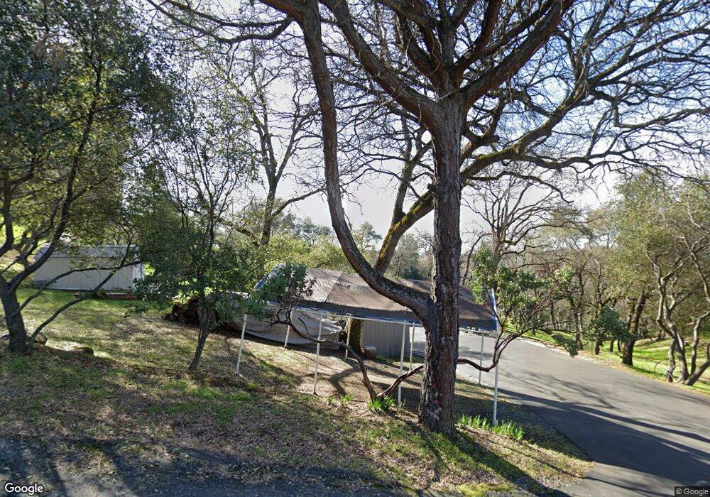
3803 Ginger Ct Auburn, CA 95602
Estimated Value: $544,642 - $718,000
3
Beds
2
Baths
1,732
Sq Ft
$363/Sq Ft
Est. Value
About This Home
This home is located at 3803 Ginger Ct, Auburn, CA 95602 and is currently estimated at $628,411, approximately $362 per square foot. 3803 Ginger Ct is a home located in Placer County with nearby schools including Sierra Hills Elementary School, Weimar Hills, and Colfax High School.
Ownership History
Date
Name
Owned For
Owner Type
Purchase Details
Closed on
Feb 2, 2023
Sold by
Nielsen Michael David
Bought by
Michael Nielsen Revocable Trust
Current Estimated Value
Purchase Details
Closed on
Oct 25, 2010
Sold by
Nielsen Michael David and Nielsen Beth Davis
Bought by
Nielsen Michael David
Purchase Details
Closed on
Jun 14, 1995
Sold by
Sargent Philip K and Sargent Sharon A
Bought by
Nielsen Michael David and Nielsen Beth Davis
Home Financials for this Owner
Home Financials are based on the most recent Mortgage that was taken out on this home.
Original Mortgage
$144,000
Interest Rate
7.92%
Mortgage Type
Purchase Money Mortgage
Purchase Details
Closed on
Mar 9, 1995
Sold by
Cleaner Mark J and Cleaner Lisa J
Bought by
Harris John W and Harris Patricia Ann
Home Financials for this Owner
Home Financials are based on the most recent Mortgage that was taken out on this home.
Original Mortgage
$95,000
Interest Rate
9.03%
Mortgage Type
Purchase Money Mortgage
Create a Home Valuation Report for This Property
The Home Valuation Report is an in-depth analysis detailing your home's value as well as a comparison with similar homes in the area
Purchase History
| Date | Buyer | Sale Price | Title Company |
|---|---|---|---|
| Michael Nielsen Revocable Trust | -- | -- | |
| Nielsen Michael David | -- | None Available | |
| Nielsen Michael David | $160,000 | North American Title Company | |
| Harris John W | $96,000 | First American Title Company |
Source: Public Records
Mortgage History
| Date | Status | Borrower | Loan Amount |
|---|---|---|---|
| Previous Owner | Nielsen Michael David | $144,000 | |
| Previous Owner | Harris John W | $95,000 |
Source: Public Records
Tax History
| Year | Tax Paid | Tax Assessment Tax Assessment Total Assessment is a certain percentage of the fair market value that is determined by local assessors to be the total taxable value of land and additions on the property. | Land | Improvement |
|---|---|---|---|---|
| 2025 | $3,176 | $316,549 | $100,766 | $215,783 |
| 2023 | $3,176 | $304,258 | $96,854 | $207,404 |
| 2022 | $3,070 | $298,293 | $94,955 | $203,338 |
| 2021 | $3,003 | $292,445 | $93,094 | $199,351 |
| 2020 | $2,968 | $289,447 | $92,140 | $197,307 |
| 2019 | $2,909 | $283,773 | $90,334 | $193,439 |
| 2018 | $2,805 | $278,210 | $88,563 | $189,647 |
| 2017 | $2,754 | $272,756 | $86,827 | $185,929 |
| 2016 | $2,694 | $267,409 | $85,125 | $182,284 |
| 2015 | $2,628 | $263,393 | $83,847 | $179,546 |
| 2014 | $2,587 | $258,234 | $82,205 | $176,029 |
Source: Public Records
Map
Nearby Homes
- 14580 Mcelroy Rd
- 13399 Bell Brook Dr
- 5575 Stanley Dr
- 5475 Stanley Dr
- 6055 Stanley Dr
- 3165 Ray Cir
- 3110 Iron Mine Rd
- 6323 Virginia Dr
- 24316 Timber Ridge Dr
- 2653 Christian Valley Rd
- 1632 The Point
- 1621 The Point
- 6715 Grass Valley Hwy
- 1642 the Point Road Lot 297
- 4721 Grass Valley Hwy
- 1811 Little Creek Rd
- 0 Dry Creek Rd Unit 225060351
- 16441 Winchester Club Dr
- 1461 Lodge View Dr
- 15010 Grand Knoll Dr
- 3817 Ginger Ct
- 5155 Thomas Dr
- 5170 Thomas Dr
- 3810 Ginger Ct
- 5165 Thomas Dr
- 5175 Thomas Dr
- 5125 Thomas Dr
- 5142 Thomas Dr
- 3825 Ginger Ct
- 5180 Thomas Dr
- 5134 Thomas Dr
- 3750 Otto Way
- 3830 Ginger Ct
- 14010 Bell Brook Dr
- 5121 Thomas Dr
- 3805 Wanda Ct
- 3840 Ginger Ct
- 5117 Thomas Dr
- 3730 Otto Way
- 3815 Wanda Ct
Your Personal Tour Guide
Ask me questions while you tour the home.