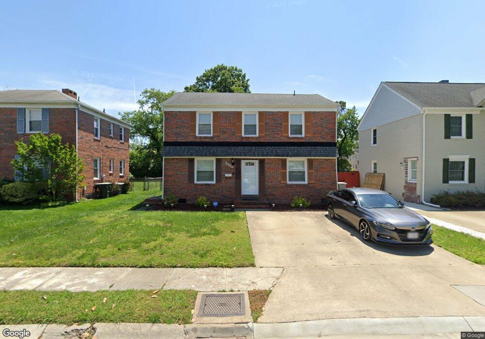
3804 Kecoughtan Rd Hampton, VA 23669
Newtown-Crown Point NeighborhoodEstimated Value: $234,000 - $247,000
4
Beds
2
Baths
1,584
Sq Ft
$151/Sq Ft
Est. Value
About This Home
This home is located at 3804 Kecoughtan Rd, Hampton, VA 23669 and is currently estimated at $239,459, approximately $151 per square foot. 3804 Kecoughtan Rd is a home located in Hampton City with nearby schools including Hunter B. Andrews PK-8 School, C. Alton Lindsay Middle School, and Phoebus High School.
Ownership History
Date
Name
Owned For
Owner Type
Purchase Details
Closed on
May 16, 2001
Sold by
Perry George Edward
Bought by
Fostger Lisa
Current Estimated Value
Home Financials for this Owner
Home Financials are based on the most recent Mortgage that was taken out on this home.
Original Mortgage
$71,236
Outstanding Balance
$26,718
Interest Rate
7.09%
Estimated Equity
$212,741
Create a Home Valuation Report for This Property
The Home Valuation Report is an in-depth analysis detailing your home's value as well as a comparison with similar homes in the area
Home Values in the Area
Average Home Value in this Area
Purchase History
| Date | Buyer | Sale Price | Title Company |
|---|---|---|---|
| Fostger Lisa | $71,800 | -- |
Source: Public Records
Mortgage History
| Date | Status | Borrower | Loan Amount |
|---|---|---|---|
| Open | Fostger Lisa | $71,236 |
Source: Public Records
Tax History Compared to Growth
Tax History
| Year | Tax Paid | Tax Assessment Tax Assessment Total Assessment is a certain percentage of the fair market value that is determined by local assessors to be the total taxable value of land and additions on the property. | Land | Improvement |
|---|---|---|---|---|
| 2025 | $1,856 | $176,700 | $50,000 | $126,700 |
| 2024 | $1,856 | $161,400 | $50,000 | $111,400 |
| 2023 | $1,611 | $138,900 | $48,000 | $90,900 |
| 2022 | $1,509 | $127,900 | $42,000 | $85,900 |
| 2021 | $1,458 | $107,100 | $37,500 | $69,600 |
| 2020 | $1,309 | $105,600 | $37,500 | $68,100 |
| 2019 | $1,280 | $103,200 | $37,500 | $65,700 |
| 2018 | $1,374 | $103,200 | $37,500 | $65,700 |
| 2017 | $1,374 | $0 | $0 | $0 |
| 2016 | $1,374 | $103,200 | $0 | $0 |
| 2015 | $1,374 | $0 | $0 | $0 |
| 2014 | $1,450 | $103,200 | $37,500 | $65,700 |
Source: Public Records
Map
Nearby Homes
- 106 Clyde St
- 117 Barksdale Rd
- 4006 Monitor Dr
- 15 Elizabeth Rd
- 4017 Buchanan Dr
- 29 Moss Ave
- 17 Somerset Ln
- 15 Victor St
- 116 Ivy Home Rd
- 3611 Matoaka Rd
- 3749 Chesapeake Ave
- 4204 Kecoughtan Rd
- 15 Henry St
- 326 Brightwood Ave
- 32 W Sunset Rd
- 126 Cherokee Rd
- 131 Cherokee Rd
- 12 Fleetwood Ave
- 3822 Victoria Blvd
- 3609 Victoria Blvd
- 3806 Kecoughtan Rd
- 3802 Kecoughtan Rd
- 3808 Kecoughtan Rd
- 3800 Kecoughtan Rd
- 3805 Stratford Rd
- 3809 Stratford Rd
- 3810 Kecoughtan Rd
- 3811 Stratford Rd
- 3801 Stratford Rd
- 3813 Stratford Rd
- 147 Clyde St
- 149 Clyde St
- 3815 Stratford Rd
- 145 Clyde St
- 169 Armstrong Dr
- 171 Armstrong Dr
- 3801 Kecoughtan Rd
- 135 Burns St
- 136 Burns St
- 167 Armstrong Dr