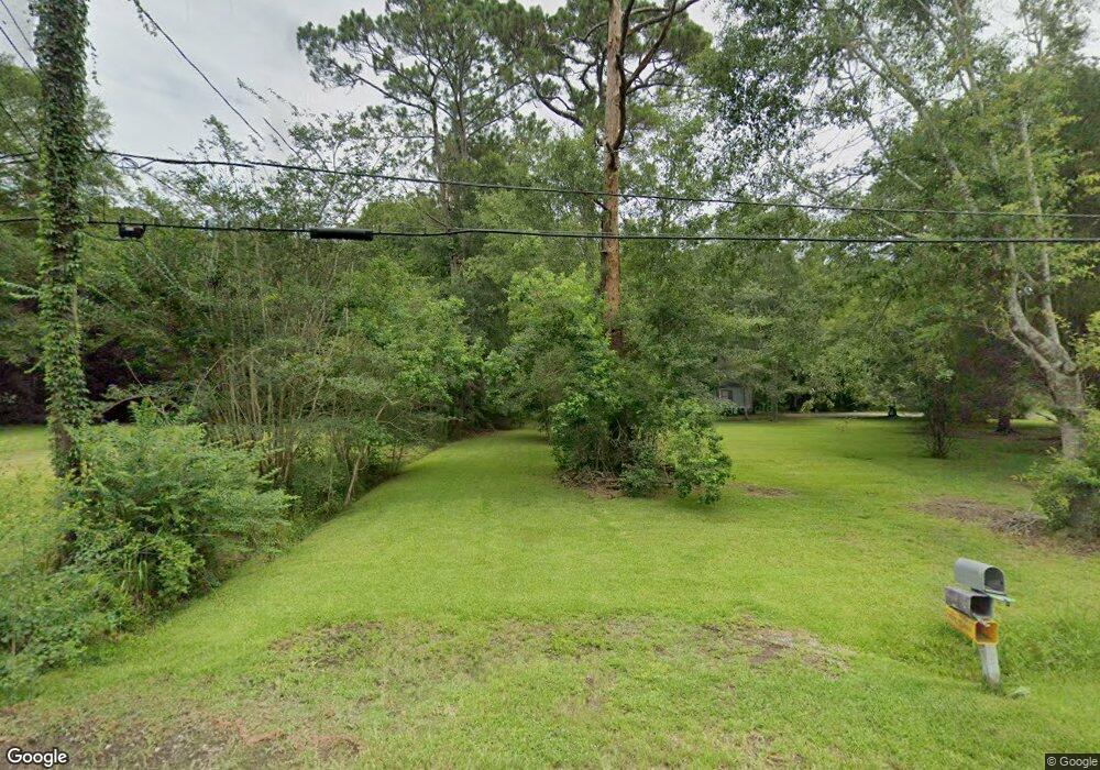
3805 Fieldworth Rd Moss Point, MS 39562
Estimated Value: $94,389 - $148,000
Studio
1
Bath
1,295
Sq Ft
$96/Sq Ft
Est. Value
About This Home
This home is located at 3805 Fieldworth Rd, Moss Point, MS 39562 and is currently estimated at $124,847, approximately $96 per square foot. 3805 Fieldworth Rd is a home located in Jackson County with nearby schools including East Central Lower Elementary School, East Central Upper Elementary School, and East Central Middle School.
Ownership History
Date
Name
Owned For
Owner Type
Purchase Details
Closed on
Mar 30, 2017
Sold by
Sudduth Audrey H and Sudduth Darryl E
Bought by
Norsworthy Steven Derek
Current Estimated Value
Home Financials for this Owner
Home Financials are based on the most recent Mortgage that was taken out on this home.
Original Mortgage
$52,418
Outstanding Balance
$34,605
Interest Rate
4.1%
Mortgage Type
New Conventional
Estimated Equity
$90,242
Create a Home Valuation Report for This Property
The Home Valuation Report is an in-depth analysis detailing your home's value as well as a comparison with similar homes in the area
Home Values in the Area
Average Home Value in this Area
Purchase History
| Date | Buyer | Sale Price | Title Company |
|---|---|---|---|
| Norsworthy Steven Derek | -- | None Available |
Source: Public Records
Mortgage History
| Date | Status | Borrower | Loan Amount |
|---|---|---|---|
| Open | Norsworthy Steven Derek | $52,418 |
Source: Public Records
Tax History
| Year | Tax Paid | Tax Assessment Tax Assessment Total Assessment is a certain percentage of the fair market value that is determined by local assessors to be the total taxable value of land and additions on the property. | Land | Improvement |
|---|---|---|---|---|
| 2025 | $740 | $6,231 | $804 | $5,427 |
| 2024 | $740 | $5,732 | $782 | $4,950 |
| 2023 | $688 | $5,732 | $782 | $4,950 |
| 2022 | $669 | $5,732 | $782 | $4,950 |
| 2021 | $676 | $5,795 | $782 | $5,013 |
| 2020 | $625 | $5,174 | $711 | $4,463 |
| 2019 | $713 | $5,969 | $1,217 | $4,752 |
| 2018 | $727 | $5,969 | $1,217 | $4,752 |
| 2017 | $767 | $6,191 | $1,217 | $4,974 |
| 2016 | $737 | $6,191 | $1,217 | $4,974 |
| 2015 | $706 | $39,340 | $8,110 | $31,230 |
| 2014 | $693 | $5,902 | $1,217 | $4,685 |
| 2013 | $670 | $5,902 | $1,217 | $4,685 |
Source: Public Records
Map
Nearby Homes
- 3601 Sandy Bayou Rd
- 3724 Dowlwood Rd
- 3700 Dowlwood Rd
- 4432 Lily Patch Ln
- 10 Ac Donniebrook Ln
- 3225 Riverbend Rd
- 13875 Wolf Ridge Rd Unit LotWP001
- 10428 Riverbend Cir
- 0 Mississippi 613
- 14004 Timber Ridge Dr
- 9621 Donchester Cir
- 10401 Dawnridge Dr
- 9504 Kimberly Cir
- 6312 Bond Hill Rd
- 10108 Ridgeline Dr
- 9277 Riverlodge Dr
- 6400 Hans Rd
- 0 Perry St
- 10132 Graystone Dr
- 3016 Ed Parker Rd
- 3809 Fieldworth Rd
- 3717 Fieldworth Rd
- 3720 Fieldworth Rd
- 3808 Fieldworth Rd
- 3716 Fieldworth Rd
- 3713 Fieldworth Rd
- 3812 Fieldworth Rd
- 3800 Bayou Estates Rd
- 3712 Fieldworth Rd
- 3709 Fieldworth Rd
- 12109 Greens Ferry Rd
- 12108 Greens Ferry Rd
- 3708 Fieldworth Rd
- 3705 Fieldworth Rd
- 23413 Ramie Farm Rd
- 12113 Greens Ferry Rd
- 3704 Fieldworth Rd
- 3811 Fieldworth Rd
- 12117 Greens Ferry Rd
- 3700 Bayou Estates Rd
Your Personal Tour Guide
Ask me questions while you tour the home.