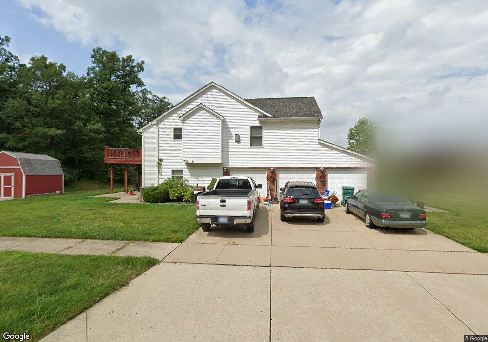
38065 McDonald Dr Romulus, MI 48174
Estimated Value: $363,000 - $452,000
3
Beds
4
Baths
3,124
Sq Ft
$132/Sq Ft
Est. Value
About This Home
This home is located at 38065 McDonald Dr, Romulus, MI 48174 and is currently estimated at $412,686, approximately $132 per square foot. 38065 McDonald Dr is a home located in Wayne County with nearby schools including Wick Elementary School, Romulus Middle School, and Romulus Senior High School.
Ownership History
Date
Name
Owned For
Owner Type
Purchase Details
Closed on
Sep 16, 2011
Sold by
Williams Mattie C
Bought by
Williams Mattie C
Current Estimated Value
Home Financials for this Owner
Home Financials are based on the most recent Mortgage that was taken out on this home.
Original Mortgage
$83,550
Outstanding Balance
$7,404
Interest Rate
4.32%
Mortgage Type
New Conventional
Estimated Equity
$405,282
Purchase Details
Closed on
May 4, 2006
Sold by
Jackson Larry R and Jackson Neica M
Bought by
Deutsche Bank National Trust Co and Ameriquest Securities Inc Asset Backed P
Create a Home Valuation Report for This Property
The Home Valuation Report is an in-depth analysis detailing your home's value as well as a comparison with similar homes in the area
Home Values in the Area
Average Home Value in this Area
Purchase History
| Date | Buyer | Sale Price | Title Company |
|---|---|---|---|
| Williams Mattie C | -- | Title Connect Llc | |
| Deutsche Bank National Trust Co | $354,196 | None Available |
Source: Public Records
Mortgage History
| Date | Status | Borrower | Loan Amount |
|---|---|---|---|
| Open | Williams Mattie C | $83,550 |
Source: Public Records
Tax History
| Year | Tax Paid | Tax Assessment Tax Assessment Total Assessment is a certain percentage of the fair market value that is determined by local assessors to be the total taxable value of land and additions on the property. | Land | Improvement |
|---|---|---|---|---|
| 2025 | $3,911 | $199,600 | $0 | $0 |
| 2024 | $4,677 | $172,600 | $0 | $0 |
| 2023 | $905 | $159,500 | $0 | $0 |
| 2022 | $4,470 | $147,800 | $0 | $0 |
| 2021 | $4,330 | $138,200 | $0 | $0 |
| 2020 | $4,244 | $122,200 | $0 | $0 |
| 2019 | $4,255 | $101,100 | $0 | $0 |
| 2018 | $2,759 | $109,600 | $0 | $0 |
| 2017 | $2,094 | $108,500 | $0 | $0 |
| 2016 | $3,664 | $101,800 | $0 | $0 |
| 2015 | $7,267 | $73,100 | $0 | $0 |
| 2013 | $7,040 | $76,900 | $0 | $0 |
| 2012 | $2,089 | $74,200 | $5,900 | $68,300 |
Source: Public Records
Map
Nearby Homes
- 39025 Buckingham Dr
- 7175 Ozga St
- 37207 Ecorse Rd
- 9069 Heritage Dr
- 11630 Ozga St
- 35773 Surrey Ct
- 37710 Herman St
- 36227 Vinewood St
- 000 Waynecorse
- 6199 Heyer St
- 0 Hannan Rd Unit 20261000615
- 8080 Wayne Rd
- 10401 Ozga St
- 6327 Hunt St
- 35799 Park Place
- 36617 Herman St
- 35344 Ecorse Rd
- 35945 Herman St
- 35431 Beverly Rd
- 35855 Herman St
- 38087 McDonald Dr
- 38101 McDonald Dr Unit Bldg-Unit
- 38101 McDonald Dr
- 38123 McDonald Dr
- 7981 Silo Dr
- 38145 McDonald Dr
- 7971 Silo Dr
- 7960 Amber Dr
- 38167 McDonald Dr
- 7961 Silo Dr
- 7984 Silo Dr
- 7950 Amber Dr
- 7974 Silo Dr
- 38189 McDonald Dr
- 7964 Clydesdale Dr
- 7951 Silo Dr
- 7940 Clydesdale Dr
- 7941 Silo Dr
- 38201 McDonald Dr
- 7954 Silo Dr Unit Bldg-Unit
Your Personal Tour Guide
Ask me questions while you tour the home.