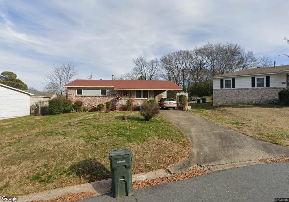
3807 Debusk Cir Little Rock, AR 72206
Estimated Value: $68,000 - $108,000
--
Bed
1
Bath
925
Sq Ft
$99/Sq Ft
Est. Value
About This Home
This home is located at 3807 Debusk Cir, Little Rock, AR 72206 and is currently estimated at $91,563, approximately $98 per square foot. 3807 Debusk Cir is a home located in Pulaski County with nearby schools including College Station Elementary School, Mills University Studies High School, and eStem East Village Elementary School.
Ownership History
Date
Name
Owned For
Owner Type
Purchase Details
Closed on
Dec 20, 2021
Sold by
Brown Brent Martin
Bought by
Brown Brent Martin and Elso Wilburlene N
Current Estimated Value
Purchase Details
Closed on
Apr 25, 2017
Sold by
Dyer Fred
Bought by
Brown Brent M
Purchase Details
Closed on
Jan 5, 2010
Sold by
Rolax Cornelius and Rolax Barbara
Bought by
Dyer Fred
Purchase Details
Closed on
Dec 18, 2009
Sold by
Dyer Fred
Bought by
Rolax Cornelius
Purchase Details
Closed on
May 17, 2005
Sold by
Dyer Fred and Dyer Tenzella
Bought by
Brown Brent Martin
Create a Home Valuation Report for This Property
The Home Valuation Report is an in-depth analysis detailing your home's value as well as a comparison with similar homes in the area
Home Values in the Area
Average Home Value in this Area
Purchase History
| Date | Buyer | Sale Price | Title Company |
|---|---|---|---|
| Brown Brent Martin | -- | None Available | |
| Brown Brent M | -- | None Available | |
| Dyer Fred | -- | None Available | |
| Rolax Cornelius | -- | None Available | |
| Brown Brent Martin | -- | -- |
Source: Public Records
Tax History Compared to Growth
Tax History
| Year | Tax Paid | Tax Assessment Tax Assessment Total Assessment is a certain percentage of the fair market value that is determined by local assessors to be the total taxable value of land and additions on the property. | Land | Improvement |
|---|---|---|---|---|
| 2025 | $549 | $8,536 | $200 | $8,336 |
| 2024 | $549 | $8,536 | $200 | $8,336 |
| 2023 | $549 | $8,536 | $200 | $8,336 |
| 2022 | $549 | $8,536 | $200 | $8,336 |
| 2021 | $560 | $8,640 | $400 | $8,240 |
| 2020 | $556 | $8,640 | $400 | $8,240 |
| 2019 | $556 | $8,640 | $400 | $8,240 |
| 2018 | $556 | $8,640 | $400 | $8,240 |
| 2017 | $175 | $8,640 | $400 | $8,240 |
| 2016 | $150 | $8,370 | $1,600 | $6,770 |
| 2015 | $484 | $7,470 | $1,600 | $5,870 |
| 2014 | $484 | $6,850 | $1,600 | $5,250 |
Source: Public Records
Map
Nearby Homes
- 1407 E 38th St
- 2818 Springer Blvd
- 2808 Welch St
- 2920 Scott St
- 2919 Martel Ave
- 3122 Main St
- 6006 Highway 365 S
- 0 S Louisiana St
- 0 E Roosevelt Rd Unit 1253502
- 2217 Bragg St
- 3319 Short Spring St
- 318 E 21st St
- 2123 Bragg St
- 2817 Center St
- 2104 Vance St
- 1804 Security
- 408 W 32nd St
- 2923 Scott St
- 2817 S Rock St
- 2815 Broadway St