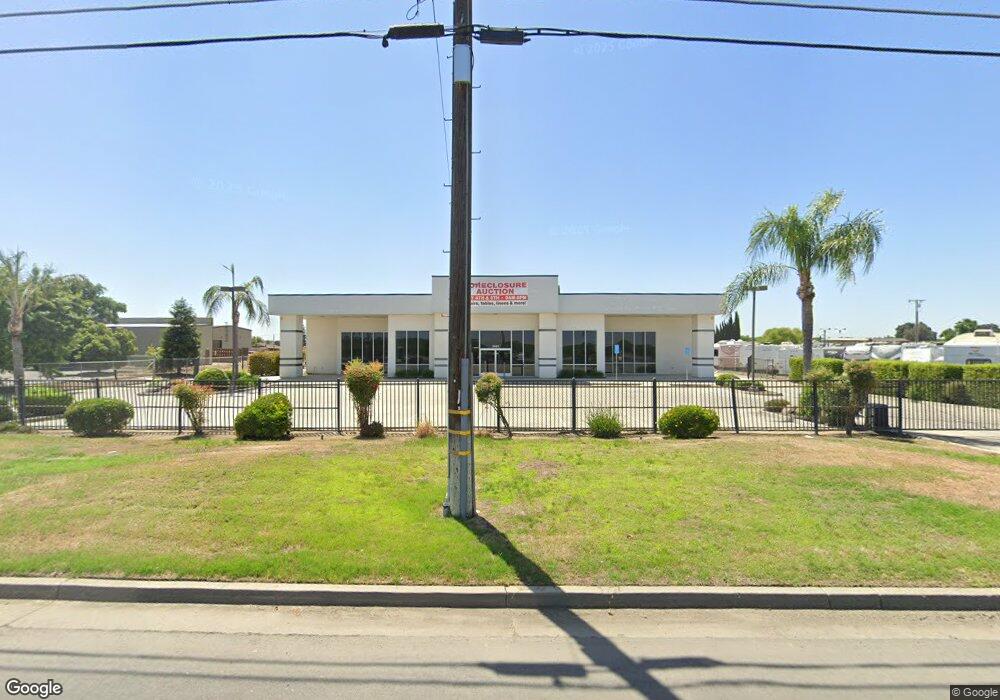
3809 N Mooney Blvd Tulare, CA 93274
Estimated Value: $2,030,175
--
Bed
3
Baths
41,319
Sq Ft
$49/Sq Ft
Est. Value
About This Home
This home is located at 3809 N Mooney Blvd, Tulare, CA 93274 and is currently estimated at $2,030,175, approximately $49 per square foot. 3809 N Mooney Blvd is a home located in Tulare County with nearby schools including Liberty Elementary School, Tulare Western High School, and Accelerated Charter High.
Ownership History
Date
Name
Owned For
Owner Type
Purchase Details
Closed on
May 7, 2024
Sold by
Westbrook Lyndal Todd and Westbrook Karen D
Bought by
Ed And Ida Llc
Current Estimated Value
Home Financials for this Owner
Home Financials are based on the most recent Mortgage that was taken out on this home.
Original Mortgage
$1,650,000
Outstanding Balance
$1,626,465
Interest Rate
6.79%
Mortgage Type
Seller Take Back
Estimated Equity
$403,710
Purchase Details
Closed on
Aug 16, 2023
Sold by
Collector Of The Tulare Irrigation Distr
Bought by
Tulare Irrigation District
Purchase Details
Closed on
Aug 22, 2022
Sold by
Collector Of The Tulare Irrigation Distr
Bought by
Tulare Irrigation District
Purchase Details
Closed on
Jun 13, 2022
Sold by
Todd Westbrook Lyndal
Bought by
Westbrook Lyndal Todd and Westbrook Karen D
Home Financials for this Owner
Home Financials are based on the most recent Mortgage that was taken out on this home.
Original Mortgage
$159,798
Interest Rate
5.78%
Mortgage Type
New Conventional
Purchase Details
Closed on
Oct 20, 2015
Sold by
Blain Construction Co Inc
Bought by
Starace Martino and Starace Michelle
Purchase Details
Closed on
Feb 3, 2012
Sold by
Citizens Busines Bank
Bought by
Westbrook Todd and Westbrook Karen D
Home Financials for this Owner
Home Financials are based on the most recent Mortgage that was taken out on this home.
Original Mortgage
$341,000
Interest Rate
3.83%
Mortgage Type
Commercial
Purchase Details
Closed on
Apr 8, 2011
Sold by
Lewis Ralph D
Bought by
Kaweah National Bank
Purchase Details
Closed on
Sep 25, 2007
Sold by
Lewis Ralph D
Bought by
Lewis Ralph D and Lewis Sandra Lynn
Purchase Details
Closed on
Jan 11, 2000
Sold by
Duncan Billy L
Bought by
Lewis Ralph D and Lewis Sandra L
Purchase Details
Closed on
Mar 3, 1998
Sold by
Duncan Bill
Bought by
Duncan Billy L
Purchase Details
Closed on
Feb 6, 1998
Sold by
Blundell Helen
Bought by
Duncan Bill and Delbert Malone L
Create a Home Valuation Report for This Property
The Home Valuation Report is an in-depth analysis detailing your home's value as well as a comparison with similar homes in the area
Home Values in the Area
Average Home Value in this Area
Purchase History
| Date | Buyer | Sale Price | Title Company |
|---|---|---|---|
| Ed And Ida Llc | $2,000,000 | Chicago Title | |
| Tulare Irrigation District | -- | -- | |
| Tulare Irrigation District | -- | -- | |
| Westbrook Lyndal Todd | -- | Chicago Title | |
| Starace Martino | $90,000 | Chicago | |
| Westbrook Todd | $645,000 | First American Title Company | |
| Kaweah National Bank | $681,421 | None Available | |
| Lewis Ralph D | -- | None Available | |
| Lewis Ralph D | $125,000 | Cuesta Title Company | |
| Duncan Billy L | -- | -- | |
| Duncan Bill | $281,390 | -- |
Source: Public Records
Mortgage History
| Date | Status | Borrower | Loan Amount |
|---|---|---|---|
| Open | Ed And Ida Llc | $1,650,000 | |
| Previous Owner | Westbrook Lyndal Todd | $159,798 | |
| Previous Owner | Westbrook Todd | $341,000 |
Source: Public Records
Tax History Compared to Growth
Tax History
| Year | Tax Paid | Tax Assessment Tax Assessment Total Assessment is a certain percentage of the fair market value that is determined by local assessors to be the total taxable value of land and additions on the property. | Land | Improvement |
|---|---|---|---|---|
| 2025 | $8,850 | $2,040,000 | $912,900 | $1,127,100 |
| 2024 | $8,850 | $794,268 | $295,542 | $498,726 |
| 2023 | $8,678 | $778,696 | $289,748 | $488,948 |
| 2022 | $8,419 | $763,428 | $284,067 | $479,361 |
| 2021 | $8,292 | $748,459 | $278,497 | $469,962 |
| 2020 | $8,429 | $740,784 | $275,641 | $465,143 |
| 2019 | $8,658 | $726,259 | $270,236 | $456,023 |
| 2018 | $8,589 | $712,018 | $264,937 | $447,081 |
| 2017 | $8,578 | $698,057 | $259,742 | $438,315 |
| 2016 | $8,208 | $684,370 | $254,649 | $429,721 |
| 2015 | $7,952 | $674,090 | $250,824 | $423,266 |
| 2014 | $7,952 | $660,886 | $245,911 | $414,975 |
Source: Public Records
Map
Nearby Homes
- 3116 Seymour St
- 3125 Seymour St
- 3637 Luke St
- 2090 Chancellor Ave
- 3126 Dorset St
- 3096 Markham St
- 2826 Dorset St Unit Sor35
- 2863 Dorset St Unit Sor53
- 2850 Dorset St Unit Sor37
- 2875 Dorset St Unit Sor52
- 2889 Dorset St Unit Sor51
- 3039 Britannia St
- 3185 Dorset St
- 1926 Amarone Ave
- Lot 52 2875 Dorset St
- Lot 37 2850 Dorset St
- Lot 61 St
- 2152 Roussanne Ave Unit Sor34
- 0 Cartmill Ave Unit 202574
- 2840 Ruby Port St Unit Sor60
- 2114 E Pacific Ave
- 3249 Alexandria St
- 0 Lot On Pacific Ave 252 Unit 116673
- 2078 E Pacific Ave
- 2000 E Pacific Ave
- 4041 N Mooney Blvd
- 3478 Seymour St
- 3424 Chelsea St
- 3681 Luke St
- 1911 Silverton Ct
- 2145 Chancellor Ave
- 3549 Luke St
- 3483 Luke St
- 1897 Sherbrook Ave
- 1810 Chancellor Ave
- 1853 Silverton Ct
- 3402 Chelsea St
- 3316 Dorset St
- 3461 Luke St
- 3446 Chelsea St