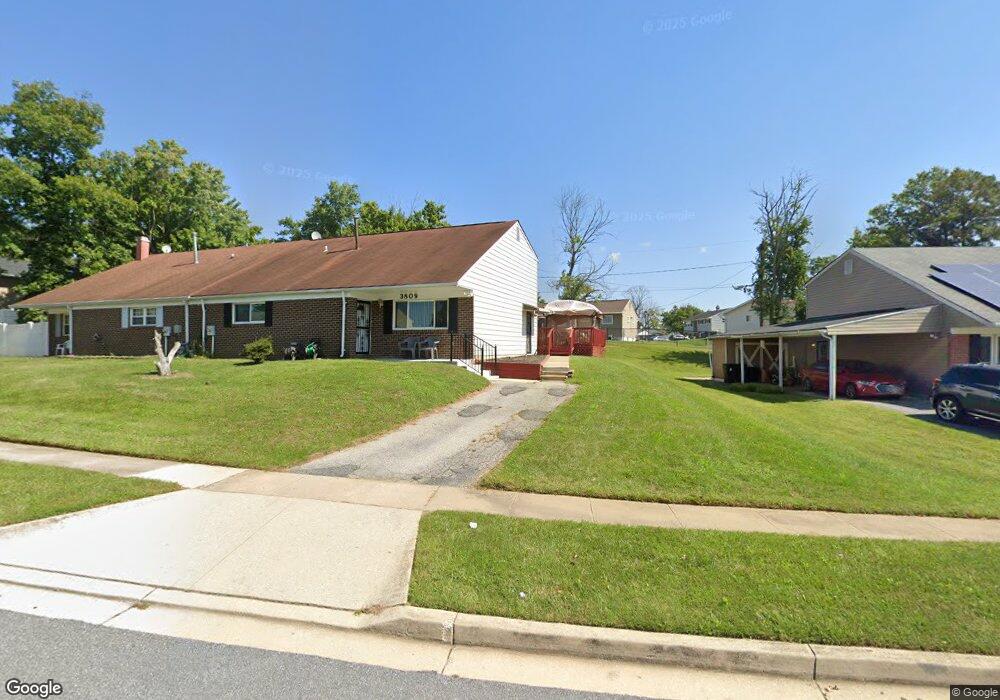
3809 Nemo Rd Randallstown, MD 21133
Estimated Value: $323,409 - $393,000
--
Bed
3
Baths
1,984
Sq Ft
$175/Sq Ft
Est. Value
About This Home
This home is located at 3809 Nemo Rd, Randallstown, MD 21133 and is currently estimated at $346,602, approximately $174 per square foot. 3809 Nemo Rd is a home located in Baltimore County with nearby schools including Church Lane Elementary Technology School, Northwest Academy of Health Sciences, and Randallstown High School.
Ownership History
Date
Name
Owned For
Owner Type
Purchase Details
Closed on
May 26, 2004
Sold by
Craig Darlene E
Bought by
Craig Rita M
Current Estimated Value
Purchase Details
Closed on
Jun 14, 1993
Sold by
Rodman Stanley E
Bought by
Craig Darlene E
Purchase Details
Closed on
Feb 3, 1976
Sold by
Brenbrook Constr Uction Company
Bought by
Rodman Stanley E
Create a Home Valuation Report for This Property
The Home Valuation Report is an in-depth analysis detailing your home's value as well as a comparison with similar homes in the area
Home Values in the Area
Average Home Value in this Area
Purchase History
| Date | Buyer | Sale Price | Title Company |
|---|---|---|---|
| Craig Rita M | -- | -- | |
| Craig Darlene E | $89,900 | -- | |
| Rodman Stanley E | $39,300 | -- |
Source: Public Records
Tax History Compared to Growth
Tax History
| Year | Tax Paid | Tax Assessment Tax Assessment Total Assessment is a certain percentage of the fair market value that is determined by local assessors to be the total taxable value of land and additions on the property. | Land | Improvement |
|---|---|---|---|---|
| 2025 | $4,030 | $276,600 | -- | -- |
| 2024 | $4,030 | $254,200 | $73,600 | $180,600 |
| 2023 | $1,758 | $247,433 | $0 | $0 |
| 2022 | $3,257 | $240,667 | $0 | $0 |
| 2021 | $3,092 | $233,900 | $55,600 | $178,300 |
| 2020 | $3,092 | $223,167 | $0 | $0 |
| 2019 | $3,004 | $212,433 | $0 | $0 |
| 2018 | $2,963 | $201,700 | $55,600 | $146,100 |
| 2017 | $2,960 | $190,267 | $0 | $0 |
| 2016 | $2,653 | $178,833 | $0 | $0 |
| 2015 | $2,653 | $167,400 | $0 | $0 |
| 2014 | $2,653 | $167,400 | $0 | $0 |
Source: Public Records
Map
Nearby Homes
- 8908 Meadow Heights Rd
- 3907 Roxanne Rd
- 9012 Allenswood Rd
- 4001 Starbrook Rd
- 9044 Allenswood Rd
- 3705 Allenswood Ct
- 8802 Falcon Ridge Dr
- 8541 Lucerne Rd
- 3805 Terka Cir
- 3921 Zurich Rd
- 4105 Kiwi Ct
- 8806 Gilly Way Unit D
- 20 Sunrise Ct
- 4108 Century Towne Rd
- 28 Sunrise Ct
- 20 Windy Meadow Ct
- 3821 Brownhill Rd
- 4210 Mary Ridge Dr
- 1205/99 Winands Rd
- 3506 Bayer Ave
- 3811 Nemo Rd
- 3807 Nemo Rd
- 8823 Meadow Heights Rd
- 3805 Nemo Rd
- 8827 Meadow Heights Rd
- 8829 Meadow Heights Rd
- 8821 Meadow Heights Rd
- 8825 Meadow Heights Rd
- 3806 Nemo Rd
- 3808 Nemo Rd
- 3804 Nemo Rd
- 3803 Nemo Rd
- 3810 Nemo Rd
- 3802 Nemo Rd
- 3812 Nemo Rd
- 8819 Meadow Heights Rd
- 3800 Nemo Rd
- 3823 Brenbrook Dr
- 3825 Brenbrook Dr
- 8818 Winterbrook Rd