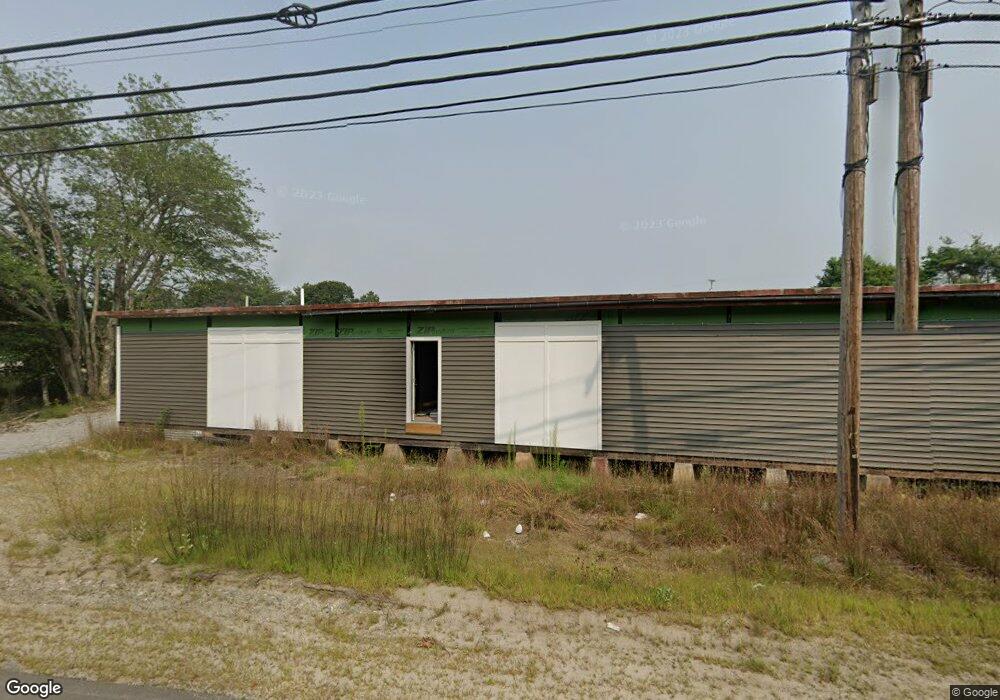
381 Bath Rd Brunswick, ME 04011
Studio
--
Bath
5,000
Sq Ft
58,806
Sq Ft Lot
About This Home
This home is located at 381 Bath Rd, Brunswick, ME 04011. 381 Bath Rd is a home located in Cumberland County with nearby schools including Kate Furbish Elementary School, Brunswick Jr High School, and Brunswick High School.
Ownership History
Date
Name
Owned For
Owner Type
Purchase Details
Closed on
Oct 24, 2019
Sold by
Thistle David G
Bought by
Blue Hubbard Llc
Home Financials for this Owner
Home Financials are based on the most recent Mortgage that was taken out on this home.
Original Mortgage
$152,000
Outstanding Balance
$132,570
Interest Rate
3.5%
Mortgage Type
New Conventional
Purchase Details
Closed on
Jun 22, 2015
Sold by
Walfield Robert E Est and Wales
Bought by
Mcgee Real Estate Hld
Purchase Details
Closed on
Mar 3, 2008
Sold by
Walfield Robert E Est and Wales Donna M
Bought by
Thistle David G and Walfield Robert E
Home Financials for this Owner
Home Financials are based on the most recent Mortgage that was taken out on this home.
Original Mortgage
$80,000
Interest Rate
5.8%
Mortgage Type
Commercial
Create a Home Valuation Report for This Property
The Home Valuation Report is an in-depth analysis detailing your home's value as well as a comparison with similar homes in the area
Home Values in the Area
Average Home Value in this Area
Purchase History
| Date | Buyer | Sale Price | Title Company |
|---|---|---|---|
| Blue Hubbard Llc | -- | -- | |
| Blue Hubbard Llc | -- | -- | |
| Mcgee Real Estate Hld | -- | -- | |
| Mcgee Real Estate Hld | -- | -- | |
| Thistle David G | -- | -- | |
| Thistle David G | -- | -- |
Source: Public Records
Mortgage History
| Date | Status | Borrower | Loan Amount |
|---|---|---|---|
| Open | Blue Hubbard Llc | $152,000 | |
| Closed | Blue Hubbard Llc | $152,000 | |
| Previous Owner | Thistle David G | $80,000 |
Source: Public Records
Tax History
| Year | Tax Paid | Tax Assessment Tax Assessment Total Assessment is a certain percentage of the fair market value that is determined by local assessors to be the total taxable value of land and additions on the property. | Land | Improvement |
|---|---|---|---|---|
| 2024 | $8,283 | $347,300 | $153,400 | $193,900 |
| 2023 | $6,016 | $258,300 | $153,400 | $104,900 |
| 2022 | $4,230 | $195,000 | $153,400 | $41,600 |
| 2021 | $4,089 | $196,000 | $123,400 | $72,600 |
| 2020 | $3,993 | $196,000 | $123,400 | $72,600 |
| 2019 | $2,881 | $146,100 | $123,400 | $22,700 |
| 2018 | $2,764 | $146,100 | $123,400 | $22,700 |
| 2017 | $3,714 | $146,100 | $123,400 | $22,700 |
| 2016 | $4,015 | $136,800 | $97,000 | $39,800 |
| 2015 | $3,880 | $136,800 | $97,000 | $39,800 |
| 2014 | -- | $136,800 | $97,000 | $39,800 |
| 2013 | -- | $136,800 | $97,000 | $39,800 |
Source: Public Records
Map
Nearby Homes
- 161 Harding Rd
- 35 Deerfield Dr
- 60 Rosedale Rd
- 31 Beacon Dr
- Lot 11 Beacon Dr
- Lot 18 Beacon Dr
- Lot 23 Beacon Dr
- 11 Beacon Dr
- Lot 27 Howards Point Ln
- 545 Old Bath Rd
- 0 Peterson
- 27 Tufton St
- 31 Franklin Pkwy
- 53 Larry Ln
- 61 Ward Cir
- 36 Franklin Pkwy
- Lot#11&12 Farley Rd
- 24 Theodore Dr
- Lot #13 Tonal Ln
- 17 Tufton St
Your Personal Tour Guide
Ask me questions while you tour the home.