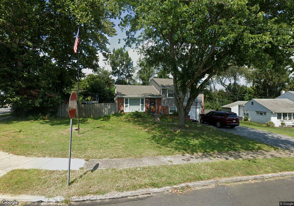
381 Gleaves Rd Springfield, PA 19064
Estimated Value: $488,000 - $525,000
3
Beds
2
Baths
1,783
Sq Ft
$286/Sq Ft
Est. Value
About This Home
This home is located at 381 Gleaves Rd, Springfield, PA 19064 and is currently estimated at $509,953, approximately $286 per square foot. 381 Gleaves Rd is a home located in Delaware County with nearby schools including Springfield High School, St Francis Of Assisi School, and Holy Cross School.
Ownership History
Date
Name
Owned For
Owner Type
Purchase Details
Closed on
Jul 14, 2006
Sold by
Morrissey Thomas E and Morrissey Mary Susan
Bought by
Bruchstein Guy and Bruchstein Jennifer
Current Estimated Value
Home Financials for this Owner
Home Financials are based on the most recent Mortgage that was taken out on this home.
Original Mortgage
$269,100
Outstanding Balance
$186,072
Interest Rate
9.87%
Mortgage Type
Purchase Money Mortgage
Estimated Equity
$323,881
Create a Home Valuation Report for This Property
The Home Valuation Report is an in-depth analysis detailing your home's value as well as a comparison with similar homes in the area
Home Values in the Area
Average Home Value in this Area
Purchase History
| Date | Buyer | Sale Price | Title Company |
|---|---|---|---|
| Bruchstein Guy | $299,000 | None Available |
Source: Public Records
Mortgage History
| Date | Status | Borrower | Loan Amount |
|---|---|---|---|
| Open | Bruchstein Guy | $269,100 |
Source: Public Records
Tax History Compared to Growth
Tax History
| Year | Tax Paid | Tax Assessment Tax Assessment Total Assessment is a certain percentage of the fair market value that is determined by local assessors to be the total taxable value of land and additions on the property. | Land | Improvement |
|---|---|---|---|---|
| 2025 | $7,872 | $280,060 | $107,660 | $172,400 |
| 2024 | $7,872 | $280,060 | $107,660 | $172,400 |
| 2023 | $7,580 | $280,060 | $107,660 | $172,400 |
| 2022 | $7,416 | $280,060 | $107,660 | $172,400 |
| 2021 | $11,484 | $280,060 | $107,660 | $172,400 |
| 2020 | $6,757 | $149,120 | $51,760 | $97,360 |
| 2019 | $6,599 | $149,120 | $51,760 | $97,360 |
| 2018 | $6,504 | $149,120 | $0 | $0 |
| 2017 | $6,354 | $149,120 | $0 | $0 |
| 2016 | $818 | $149,120 | $0 | $0 |
| 2015 | $818 | $149,120 | $0 | $0 |
| 2014 | $818 | $149,120 | $0 | $0 |
Source: Public Records
Map
Nearby Homes
- 341 Kennerly Rd
- 517 W Woodland Ave
- 364 S Rolling Rd
- 1366 Nicklaus Dr Unit O125
- 499 Collins Dr
- 232 S Highland Rd
- 247 Orchard Rd
- 201 S Highland Rd
- 326 Powell Rd
- 746 Kelli Ln
- 1521 Snead Green Unit Z194
- 773 Beatty View Rd
- 464 Conard Dr
- 15 Pearson Dr
- 251 Powell Rd
- 603 Beatty Rd
- 89 Saxer Ave
- 509 Beatty Rd
- 332 Franklin Ave
- 214 Lynbrooke Rd