Estimated Value: $860,938 - $1,114,000
3
Beds
3
Baths
2,710
Sq Ft
$381/Sq Ft
Est. Value
About This Home
This home is located at 381 Maple Dr, Otis, OR 97368 and is currently estimated at $1,031,235, approximately $380 per square foot. 381 Maple Dr is a home located in Lincoln County with nearby schools including Oceanlake Elementary School, Taft Elementary School, and Taft High School.
Ownership History
Date
Name
Owned For
Owner Type
Purchase Details
Closed on
Jan 29, 2019
Sold by
Clark Larry E and Clark Saundra A
Bought by
Butler Sean M and Marchand Carolyn
Current Estimated Value
Home Financials for this Owner
Home Financials are based on the most recent Mortgage that was taken out on this home.
Original Mortgage
$380,000
Outstanding Balance
$332,760
Interest Rate
4.6%
Mortgage Type
VA
Estimated Equity
$698,475
Purchase Details
Closed on
Jan 26, 2006
Sold by
Clark Larry E
Bought by
Clark Larry E and Clark Saundra Anne
Create a Home Valuation Report for This Property
The Home Valuation Report is an in-depth analysis detailing your home's value as well as a comparison with similar homes in the area
Purchase History
| Date | Buyer | Sale Price | Title Company |
|---|---|---|---|
| Butler Sean M | $580,000 | Western Title | |
| Clark Larry E | -- | Wte |
Source: Public Records
Mortgage History
| Date | Status | Borrower | Loan Amount |
|---|---|---|---|
| Open | Butler Sean M | $380,000 |
Source: Public Records
Tax History
| Year | Tax Paid | Tax Assessment Tax Assessment Total Assessment is a certain percentage of the fair market value that is determined by local assessors to be the total taxable value of land and additions on the property. | Land | Improvement |
|---|---|---|---|---|
| 2025 | $5,375 | $430,920 | -- | -- |
| 2024 | $5,261 | $418,370 | -- | -- |
| 2023 | $5,096 | $406,190 | $0 | $0 |
| 2022 | $4,949 | $394,360 | $0 | $0 |
| 2021 | $4,679 | $382,880 | $0 | $0 |
| 2020 | $4,871 | $395,070 | $0 | $0 |
| 2019 | $4,694 | $383,570 | $0 | $0 |
| 2018 | $4,603 | $372,400 | $0 | $0 |
| 2017 | $4,383 | $361,560 | $0 | $0 |
| 2016 | $4,056 | $351,030 | $0 | $0 |
| 2015 | $3,980 | $340,810 | $0 | $0 |
| 2014 | $3,877 | $330,890 | $0 | $0 |
| 2013 | -- | $321,260 | $0 | $0 |
Source: Public Records
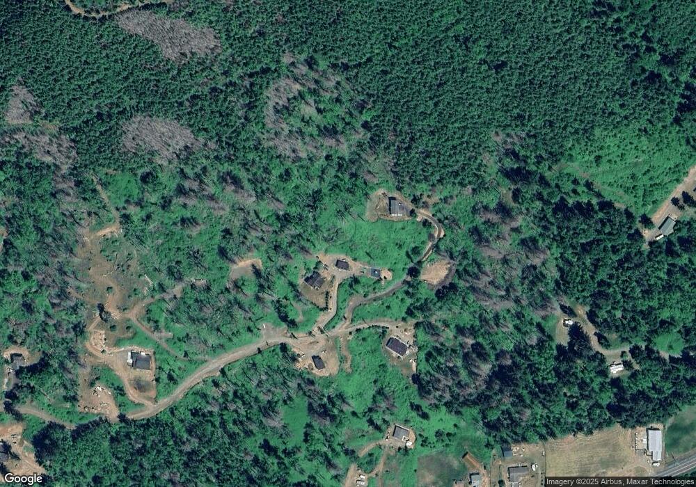
Map
Nearby Homes
- 1135 N Widow Creek Rd
- 5596 Salmon River Hwy
- 0 N New Bridge Ct
- T/L 1000 N New Bridge Rd
- T/L 700 N New Bridge Rd
- 385 N Deer Dr
- 0 N Stockton Ave Unit TL 2700
- 864 N Deerlane Loop
- 835 N Bear Creek Rd
- 295 N Deer Dr
- TL 2700 N Stockton Ave
- 946 N Echo Mountain Rd
- 461 N Deerlane Dr
- TL 200 N Echo Mountain Rd
- 0 N Echo Mountain Rd Unit TL 200
- 0 N North Bank Rd Unit 600
- 1415 N Alvord Ln
- 338 N Charmwood Loop
- 79 N Echo Place
- 353 N Deerlane Dr
- 381 Maple Dr
- 381 N Maple Dr
- 349 N Maple Dr
- 800 N Maple Dr Unit TL
- 800 N Maple Dr
- Lot 800 N Maple Dr (Hwy 18)
- 415 Maple Dr
- 415 Maple Dr
- 415 Maple Dr
- TL 800 N Maple Dr
- 800 TL N Maple Dr
- Lot 8 N Maple Dr
- T L 800 N Maple Dr
- 100 N Maple Dr
- Lot 800 N Maple Dr
- Lot 7 N Maple Dr
- 0 N Maple Dr Unit 10013469
- 0 N Maple Dr Unit 800
- 362 N Maple Dr
- 0 Hwy 18 - N Maple Unit 21067364
Your Personal Tour Guide
Ask me questions while you tour the home.