Estimated Value: $426,965 - $533,000
3
Beds
3
Baths
1,823
Sq Ft
$259/Sq Ft
Est. Value
About This Home
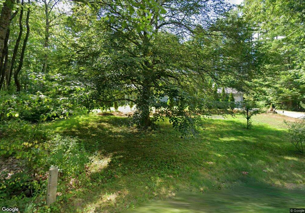
This home is located at 381 New Sherborn Rd, Athol, MA 01331 and is currently estimated at $472,991, approximately $259 per square foot. 381 New Sherborn Rd is a home located in Worcester County with nearby schools including Athol High School.
Ownership History
Date
Name
Owned For
Owner Type
Purchase Details
Closed on
Oct 31, 2008
Sold by
Chapin Paul E and Chapin Sheila E
Bought by
Zero John P and Zero Phyllis M
Current Estimated Value
Home Financials for this Owner
Home Financials are based on the most recent Mortgage that was taken out on this home.
Original Mortgage
$105,000
Interest Rate
5.83%
Mortgage Type
Purchase Money Mortgage
Purchase Details
Closed on
Aug 28, 2006
Sold by
Caisse Bryan P and Caisse Joanne F
Bought by
Chapin Paul E and Chapin Sheila E
Purchase Details
Closed on
Aug 30, 1988
Sold by
Caisse Paul R
Bought by
Caisse Joanne F
Create a Home Valuation Report for This Property
The Home Valuation Report is an in-depth analysis detailing your home's value as well as a comparison with similar homes in the area
Home Values in the Area
Average Home Value in this Area
Purchase History
| Date | Buyer | Sale Price | Title Company |
|---|---|---|---|
| Zero John P | $215,500 | -- | |
| Chapin Paul E | $234,900 | -- | |
| Caisse Joanne F | $19,000 | -- |
Source: Public Records
Mortgage History
| Date | Status | Borrower | Loan Amount |
|---|---|---|---|
| Open | Caisse Joanne F | $108,000 | |
| Closed | Zero John P | $105,000 | |
| Previous Owner | Caisse Joanne F | $78,000 | |
| Previous Owner | Caisse Joanne F | $20,000 |
Source: Public Records
Tax History Compared to Growth
Tax History
| Year | Tax Paid | Tax Assessment Tax Assessment Total Assessment is a certain percentage of the fair market value that is determined by local assessors to be the total taxable value of land and additions on the property. | Land | Improvement |
|---|---|---|---|---|
| 2025 | $4,442 | $349,500 | $72,900 | $276,600 |
| 2024 | $4,295 | $334,800 | $72,900 | $261,900 |
| 2023 | $4,184 | $298,000 | $52,900 | $245,100 |
| 2022 | $4,040 | $251,700 | $50,400 | $201,300 |
| 2021 | $264 | $220,800 | $45,800 | $175,000 |
| 2020 | $3,714 | $216,200 | $41,800 | $174,400 |
| 2019 | $3,675 | $210,600 | $39,300 | $171,300 |
| 2018 | $3,677 | $187,900 | $35,700 | $152,200 |
| 2017 | $268 | $180,300 | $35,700 | $144,600 |
| 2016 | $3,385 | $170,700 | $35,700 | $135,000 |
| 2015 | $3,248 | $170,700 | $35,700 | $135,000 |
| 2014 | $3,146 | $170,700 | $35,700 | $135,000 |
Source: Public Records
Map
Nearby Homes
- 321 Doe Valley Rd
- 00 Miles Rd
- Lot 2 Petersham Rd
- Lot 1 Petersham Rd
- 0 Riceville Rd Unit 73429842
- 706 Petersham Rd
- 572 Pleasant St
- 266 Petersham Rd
- 62 Lindsay Ln
- 288 Chase Rd
- 696 Cottage St Unit Lot 10
- 792 Cottage St
- 31 Kelton St
- 551 Sanders St
- 2428 Main St
- 64 Garfield Rd
- 71 Wendell St
- 0 Spring St
- 476 Cottage St
- 226 Chestnut St
- 317 New Sherborn Rd
- 96 Conant Rd
- 130 Conant Rd
- 277 New Sherborn Rd
- 452 New Sherborn Rd
- 276 New Sherborn Rd
- 318 New Sherborn Rd
- 109 Conant Rd
- 194 Conant Rd
- 480 New Sherborn Rd
- 495 New Sherborn Rd
- 0 Conant Rd
- 224 Conant Rd
- 516 New Sherborn Rd
- LOT 3 Conant Rd
- 1 Conant Rd
- 533 New Sherborn Rd
- 425 New Sherborn Rd
- 227 Conant Rd
- 244 Conant Rd