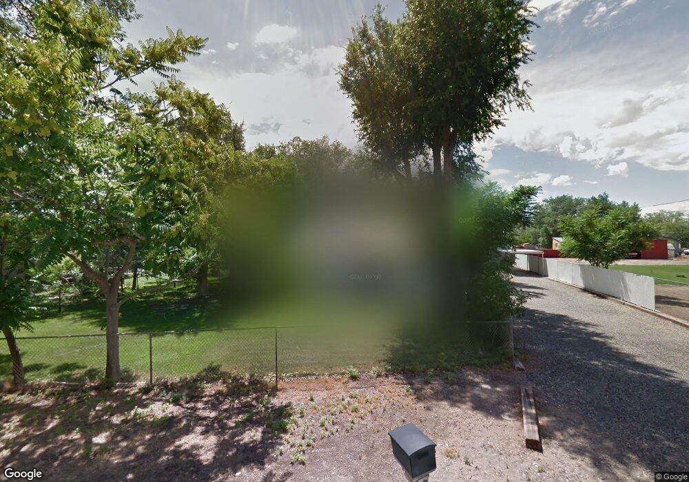
381 Rosevale Rd Grand Junction, CO 81507
Redlands NeighborhoodEstimated Value: $393,000 - $398,543
3
Beds
1
Bath
1,232
Sq Ft
$321/Sq Ft
Est. Value
About This Home
This home is located at 381 Rosevale Rd, Grand Junction, CO 81507 and is currently estimated at $395,772, approximately $321 per square foot. 381 Rosevale Rd is a home located in Mesa County with nearby schools including Wingate Elementary School, Redlands Middle School, and Grand Junction High School.
Ownership History
Date
Name
Owned For
Owner Type
Purchase Details
Closed on
Jul 26, 2021
Sold by
Sturrock Nicole Katherine
Bought by
Sturrock Nicole Katherine and Sturrock James Jason
Current Estimated Value
Home Financials for this Owner
Home Financials are based on the most recent Mortgage that was taken out on this home.
Original Mortgage
$170,000
Outstanding Balance
$154,652
Interest Rate
2.93%
Mortgage Type
New Conventional
Estimated Equity
$241,120
Purchase Details
Closed on
Oct 14, 2016
Sold by
Sturrock James Jason and Sturrock Nicole Katherine
Bought by
Turrock Nicole Katherine
Purchase Details
Closed on
Jul 15, 2015
Sold by
Ruid Richard A
Bought by
Sturrock James J and Sturrock Nicole K
Home Financials for this Owner
Home Financials are based on the most recent Mortgage that was taken out on this home.
Original Mortgage
$183,150
Interest Rate
3.9%
Mortgage Type
FHA
Create a Home Valuation Report for This Property
The Home Valuation Report is an in-depth analysis detailing your home's value as well as a comparison with similar homes in the area
Home Values in the Area
Average Home Value in this Area
Purchase History
| Date | Buyer | Sale Price | Title Company |
|---|---|---|---|
| Sturrock Nicole Katherine | -- | None Available | |
| Turrock Nicole Katherine | -- | None Available | |
| Sturrock James J | $215,000 | None Available |
Source: Public Records
Mortgage History
| Date | Status | Borrower | Loan Amount |
|---|---|---|---|
| Open | Sturrock Nicole Katherine | $170,000 | |
| Previous Owner | Sturrock James J | $183,150 |
Source: Public Records
Tax History Compared to Growth
Tax History
| Year | Tax Paid | Tax Assessment Tax Assessment Total Assessment is a certain percentage of the fair market value that is determined by local assessors to be the total taxable value of land and additions on the property. | Land | Improvement |
|---|---|---|---|---|
| 2024 | $1,033 | $21,740 | $9,870 | $11,870 |
| 2023 | $1,033 | $14,620 | $3,530 | $11,090 |
| 2022 | $1,088 | $15,160 | $3,960 | $11,200 |
| 2021 | $1,126 | $15,600 | $4,080 | $11,520 |
| 2020 | $758 | $10,870 | $2,150 | $8,720 |
| 2019 | $710 | $10,870 | $2,150 | $8,720 |
| 2018 | $687 | $9,510 | $1,800 | $7,710 |
| 2017 | $557 | $9,510 | $1,800 | $7,710 |
| 2016 | $557 | $8,640 | $1,990 | $6,650 |
| 2015 | $281 | $8,640 | $1,990 | $6,650 |
| 2014 | -- | $7,750 | $1,910 | $5,840 |
Source: Public Records
Map
Nearby Homes
- 364 Rodell Dr
- 514 Rockaway Ave
- 2505 1/2 Mount Sopris Dr
- 535 Crawford Ave
- 448 Fairview Ave
- 463 Crawford Ave
- 324 Rosevale Rd
- 260 Ute Ave
- 346 Main St Unit 201
- 432 High Pointe Cir
- 404 Dressell Dr
- 407 Dressell Dr
- 700 Base Rock St
- 133 Chipeta Ave
- 2454 Broadway
- 2433 Hidden Valley Dr
- 342 McFry Rd
- 236 Gunnison Ave
- 818 Colorado Ave
- 125 Canary Ln