381 State Route 225 Atwater, OH 44201
Estimated Value: $174,557 - $238,000
3
Beds
1
Bath
1,200
Sq Ft
$175/Sq Ft
Est. Value
About This Home
This home is located at 381 State Route 225, Atwater, OH 44201 and is currently estimated at $209,889, approximately $174 per square foot. 381 State Route 225 is a home located in Portage County with nearby schools including Waterloo Elementary School, Waterloo Middle School, and Waterloo High School.
Ownership History
Date
Name
Owned For
Owner Type
Purchase Details
Closed on
Mar 3, 2004
Sold by
Citifinancial Mortgage Co Inc
Bought by
Higgins Michael J
Current Estimated Value
Home Financials for this Owner
Home Financials are based on the most recent Mortgage that was taken out on this home.
Original Mortgage
$50,500
Interest Rate
5.46%
Mortgage Type
Purchase Money Mortgage
Purchase Details
Closed on
Nov 19, 2003
Sold by
Mauck Carl E
Bought by
Citifinancial Mortgage Co Inc
Purchase Details
Closed on
Jan 1, 1990
Bought by
Mauck Carl Glenda
Create a Home Valuation Report for This Property
The Home Valuation Report is an in-depth analysis detailing your home's value as well as a comparison with similar homes in the area
Home Values in the Area
Average Home Value in this Area
Purchase History
| Date | Buyer | Sale Price | Title Company |
|---|---|---|---|
| Higgins Michael J | -- | Sovereign Title Agency Llc | |
| Citifinancial Mortgage Co Inc | $63,334 | Sovereign Title | |
| Mauck Carl Glenda | -- | -- |
Source: Public Records
Mortgage History
| Date | Status | Borrower | Loan Amount |
|---|---|---|---|
| Previous Owner | Higgins Michael J | $50,500 |
Source: Public Records
Tax History Compared to Growth
Tax History
| Year | Tax Paid | Tax Assessment Tax Assessment Total Assessment is a certain percentage of the fair market value that is determined by local assessors to be the total taxable value of land and additions on the property. | Land | Improvement |
|---|---|---|---|---|
| 2024 | $1,981 | $53,450 | $19,010 | $34,440 |
| 2023 | $1,775 | $41,310 | $13,410 | $27,900 |
| 2022 | $1,819 | $41,310 | $13,410 | $27,900 |
| 2021 | $1,793 | $41,310 | $13,410 | $27,900 |
| 2020 | $1,640 | $36,480 | $13,410 | $23,070 |
| 2019 | $1,641 | $36,480 | $13,410 | $23,070 |
| 2018 | $1,721 | $37,350 | $12,530 | $24,820 |
| 2017 | $1,721 | $37,350 | $12,530 | $24,820 |
| 2016 | $1,709 | $37,350 | $12,530 | $24,820 |
| 2015 | $1,728 | $37,350 | $12,530 | $24,820 |
| 2014 | $1,780 | $37,350 | $12,530 | $24,820 |
| 2013 | $1,762 | $37,350 | $12,530 | $24,820 |
Source: Public Records
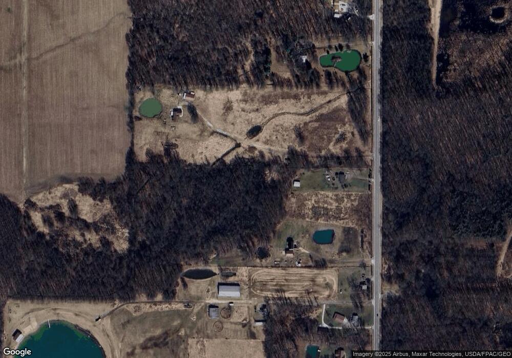
Map
Nearby Homes
- 1440 Porter Rd
- 0 German Church St NE
- 0 Knoll St NE
- 13975 Greenbower St NE
- 1060 State Route 14
- 20871 N Benton Rd W
- 15520 Coalbank St NE
- 15789 Coalbank St NE
- 6727 Waterloo Rd
- 9663 Berlin Heights Dr
- 0 Ohio 14
- 2171 Alliance Rd
- German Church Street North E Unit LotWP001
- 1731 Ohio 225
- 1864 State Route 225
- 1015 Stroup Rd
- 11680 Walnut Ave NE
- 14723 Bolton St NE
- 15995 Elbrook St NE
- 14422 Sturbridge Rd NE
- 267 State Route 225
- 341 State Route 225
- 415 Ohio 225
- 457 State Route 225
- 303 State Route 225
- 393 State Route 225
- 289 State Route 225
- 499 State Route 225
- 233 State Route 225
- 236 State Route 225
- 198 State Route 225
- 163 State Route 225
- 164 State Route 225
- 8030 Virginia Rd
- 8058 Virginia Rd
- 141 State Route 225
- 637 State Route 225
- 8073 Virginia Rd
- V/L Ohio 225
- 105 State Route 225