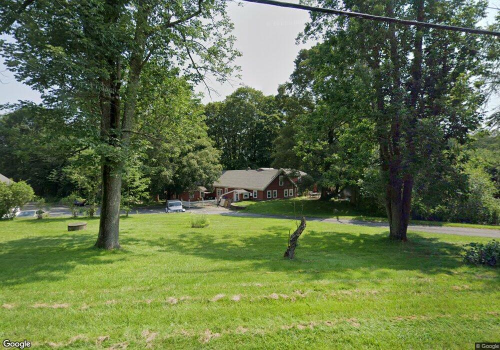
381 W Sutton Rd Sutton, MA 01590
Estimated Value: $441,000 - $634,000
Studio
2
Baths
1,280
Sq Ft
$428/Sq Ft
Est. Value
About This Home
This home is located at 381 W Sutton Rd, Sutton, MA 01590 and is currently estimated at $547,725, approximately $427 per square foot. 381 W Sutton Rd is a home located in Worcester County with nearby schools including Sutton Elementary School, Sutton Middle School, and Sutton High School.
Ownership History
Date
Name
Owned For
Owner Type
Purchase Details
Closed on
Dec 27, 2018
Sold by
Mosher Andrew J and Mosher Kimberly J
Bought by
Dmg Property Management
Current Estimated Value
Home Financials for this Owner
Home Financials are based on the most recent Mortgage that was taken out on this home.
Original Mortgage
$280,000
Outstanding Balance
$246,702
Interest Rate
4.9%
Mortgage Type
New Conventional
Estimated Equity
$301,023
Purchase Details
Closed on
Oct 12, 2010
Sold by
Putnam Albertine M
Bought by
Mosher Andrew J and Mosher Kimberly J
Create a Home Valuation Report for This Property
The Home Valuation Report is an in-depth analysis detailing your home's value as well as a comparison with similar homes in the area
Home Values in the Area
Average Home Value in this Area
Purchase History
| Date | Buyer | Sale Price | Title Company |
|---|---|---|---|
| Dmg Property Management | $350,000 | Adams & Assoc Legal Svcs Tit | |
| Mosher Andrew J | $220,000 | -- |
Source: Public Records
Mortgage History
| Date | Status | Borrower | Loan Amount |
|---|---|---|---|
| Open | Dmg Property Management | $280,000 |
Source: Public Records
Tax History
| Year | Tax Paid | Tax Assessment Tax Assessment Total Assessment is a certain percentage of the fair market value that is determined by local assessors to be the total taxable value of land and additions on the property. | Land | Improvement |
|---|---|---|---|---|
| 2025 | $6,629 | $551,500 | $161,200 | $390,300 |
| 2024 | $6,279 | $495,200 | $154,000 | $341,200 |
| 2023 | $6,627 | $478,500 | $139,300 | $339,200 |
| 2022 | $6,002 | $395,400 | $106,100 | $289,300 |
| 2021 | $5,728 | $358,000 | $106,100 | $251,900 |
| 2020 | $5,481 | $345,600 | $106,100 | $239,500 |
| 2019 | $4,216 | $255,200 | $106,100 | $149,100 |
| 2018 | $4,116 | $248,700 | $106,100 | $142,600 |
| 2017 | $3,937 | $238,600 | $93,400 | $145,200 |
| 2016 | $3,980 | $238,600 | $93,400 | $145,200 |
| 2015 | $3,895 | $233,500 | $93,400 | $140,100 |
| 2014 | $3,980 | $235,800 | $115,600 | $120,200 |
Source: Public Records
Map
Nearby Homes
- 24 Manchaug Rd
- 109 Mendon Rd
- 186 8 Lots Rd
- 15 Westview Dr
- 7 Tower Hill Rd
- 266 Putnam Hill Rd
- 354 W Sutton Rd
- 18 Lakeshore Dr
- 162 Sutton Ave
- 35 &33 Sutton Ave
- 5 Hamlets Way
- 5 Putnam Hill Rd
- 11 Lovett Rd
- 31 Central Turnpike
- 51 Central Turnpike
- 198 Uxbridge Rd
- 4 1st St
- 26 Water St
- 15 Lind St
- 19 Birch St
- 636 Central Turnpike
- 380 W Sutton Rd
- 375 W Sutton Rd
- 632 Central Turnpike
- 382 W Sutton Rd
- 635 Central Turnpike
- 628 Central Turnpike
- 646 Central Turnpike
- 369 W Sutton Rd
- 631 Central Turnpike
- 650 Central Turnpike
- LOT B Boston Rd
- 6 Manchaug Rd
- 645 Central Turnpike
- 3 Douglas Rd
- 619 Boston Rd
- 654 Central Turnpike
- 620 Central Turnpike
- 197 Town Farm Rd
- 651 Central Turnpike
Your Personal Tour Guide
Ask me questions while you tour the home.