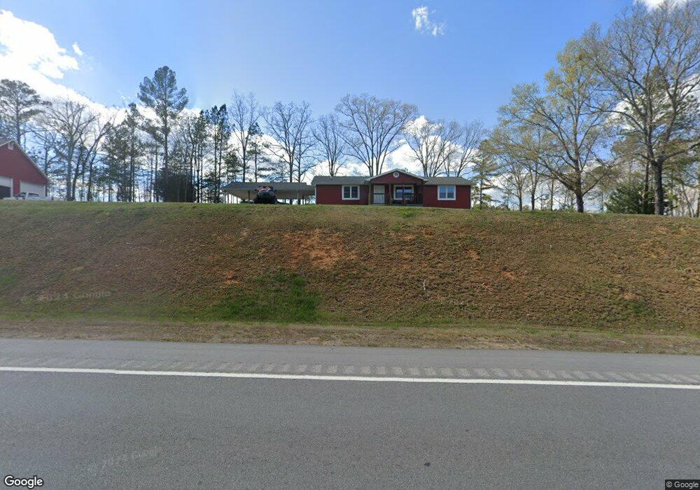
3810 Buchanan Hwy Cedartown, GA 30125
Estimated Value: $264,202 - $374,000
3
Beds
2
Baths
1,595
Sq Ft
$203/Sq Ft
Est. Value
About This Home
This home is located at 3810 Buchanan Hwy, Cedartown, GA 30125 and is currently estimated at $323,301, approximately $202 per square foot. 3810 Buchanan Hwy is a home located in Polk County.
Ownership History
Date
Name
Owned For
Owner Type
Purchase Details
Closed on
Nov 29, 2016
Sold by
Helen W
Bought by
Tant Benjamin Kenneth
Current Estimated Value
Purchase Details
Closed on
Mar 29, 1989
Sold by
Mallard Helen W Exec
Bought by
Mallard Helen W
Purchase Details
Closed on
Sep 1, 1979
Sold by
Forrister Douglas R
Bought by
Mallard Phillip J
Purchase Details
Closed on
Nov 25, 1972
Sold by
Simpson Billy H
Bought by
Forrister Douglas R
Purchase Details
Closed on
Oct 24, 1969
Sold by
Mcgriff Loudell N
Bought by
Roberts Roberts H and Roberts Idell
Purchase Details
Closed on
Oct 26, 1968
Sold by
Roberts Roberts H and Roberts Idell
Bought by
Simpson Billy H
Purchase Details
Closed on
Apr 7, 1960
Bought by
Mcgriff Loudell N
Create a Home Valuation Report for This Property
The Home Valuation Report is an in-depth analysis detailing your home's value as well as a comparison with similar homes in the area
Home Values in the Area
Average Home Value in this Area
Purchase History
| Date | Buyer | Sale Price | Title Company |
|---|---|---|---|
| Tant Benjamin Kenneth | $15,000 | -- | |
| Mallard Helen W | -- | -- | |
| Mallard Phillip J | -- | -- | |
| Forrister Douglas R | -- | -- | |
| Roberts Roberts H | -- | -- | |
| Simpson Billy H | -- | -- | |
| Mcgriff Loudell N | -- | -- |
Source: Public Records
Tax History Compared to Growth
Tax History
| Year | Tax Paid | Tax Assessment Tax Assessment Total Assessment is a certain percentage of the fair market value that is determined by local assessors to be the total taxable value of land and additions on the property. | Land | Improvement |
|---|---|---|---|---|
| 2024 | $1,591 | $90,851 | $3,478 | $87,373 |
| 2023 | $1,155 | $62,051 | $3,478 | $58,573 |
| 2022 | $956 | $53,660 | $2,319 | $51,341 |
| 2021 | $968 | $53,660 | $2,319 | $51,341 |
| 2020 | $970 | $53,660 | $2,319 | $51,341 |
| 2019 | $791 | $42,778 | $2,319 | $40,459 |
| 2018 | $862 | $44,628 | $2,319 | $42,309 |
| 2017 | $163 | $16,909 | $2,319 | $14,590 |
| 2016 | $485 | $17,808 | $3,218 | $14,590 |
| 2015 | $493 | $18,056 | $3,218 | $14,838 |
| 2014 | $826 | $32,038 | $3,218 | $28,820 |
Source: Public Records
Map
Nearby Homes
- 4550 Buchanan Hwy
- 0 Buchanan Hwy Unit 10558945
- 0 Youngs Farm Rd Unit 24829378
- 4267 Buchanan Hwy
- 525 Grogan Rd
- 539 Grogan Rd
- 557 Grogan Rd
- 160 Tate Rd
- 95 Wieuca Way
- 0 Wieuca Way Unit 10614129
- 000 Wieuca Way
- 00 Antioch Rd
- 142 Acres On Judkin Mill Rd
- 00 Buchanan Hwy
- 766 Antioch Rd
- 1870 Tallapoosa Hwy
- 1987 Buchanan Hwy
- 7474 Highway 27
- 497 Judkin Mill Rd
- 35 Old Mill Rd
- 3864 Buchanan Hwy
- 3815 Buchanan Hwy
- 3767 Buchanan Hwy
- 3784 Buchanan Hwy
- 3777 Buchanan Hwy
- 4171 Buchanan Hwy
- 3737 Buchanan Hwy
- 3725 Buchanan Hwy
- 3686 Buchanan Hwy
- 3711 Buchanan Hwy
- 3673 Buchanan Hwy
- 0 Buchanan Hwy Unit 8425916
- 0 Buchanan Hwy
- 0 Buchanan Hwy Unit 7146057
- 0 Buchanan Hwy Unit 20088097
- 0 Buchanan Hwy Unit 7575384
- 0 Buchanan Hwy Unit 7570512
- 0 Buchanan Hwy Unit 8716902
- 0 Buchanan Hwy Unit 7574919
- 0 Buchanan Hwy Unit 9041907