3813 Marble Dr High Point, NC 27265
Florence NeighborhoodEstimated Value: $330,589 - $371,000
3
Beds
3
Baths
2,174
Sq Ft
$164/Sq Ft
Est. Value
About This Home
This home is located at 3813 Marble Dr, High Point, NC 27265 and is currently estimated at $356,897, approximately $164 per square foot. 3813 Marble Dr is a home located in Guilford County with nearby schools including Montlieu Academy of Technology, Welborn Academy of Science & Technology, and T.W. Andrews High School.
Ownership History
Date
Name
Owned For
Owner Type
Purchase Details
Closed on
Jun 19, 2017
Sold by
Stewart Michael W and Stewart Heather H
Bought by
Stewart Michael W and Stewart Heather H
Current Estimated Value
Home Financials for this Owner
Home Financials are based on the most recent Mortgage that was taken out on this home.
Original Mortgage
$177,299
Outstanding Balance
$89,250
Interest Rate
2.87%
Mortgage Type
FHA
Estimated Equity
$267,647
Purchase Details
Closed on
Mar 24, 2011
Sold by
Keystone Group Inc
Bought by
Stewart Michael W
Home Financials for this Owner
Home Financials are based on the most recent Mortgage that was taken out on this home.
Original Mortgage
$160,807
Interest Rate
4.75%
Mortgage Type
FHA
Purchase Details
Closed on
Jan 12, 2010
Bought by
Keystone Group Inc
Purchase Details
Closed on
Feb 24, 2005
Bought by
Spka Llc
Create a Home Valuation Report for This Property
The Home Valuation Report is an in-depth analysis detailing your home's value as well as a comparison with similar homes in the area
Home Values in the Area
Average Home Value in this Area
Purchase History
| Date | Buyer | Sale Price | Title Company |
|---|---|---|---|
| Stewart Michael W | -- | None Available | |
| Stewart Michael W | $165,000 | None Available | |
| Keystone Group Inc | $96,000 | -- | |
| Spka Llc | -- | -- |
Source: Public Records
Mortgage History
| Date | Status | Borrower | Loan Amount |
|---|---|---|---|
| Open | Stewart Michael W | $177,299 | |
| Closed | Stewart Michael W | $160,807 |
Source: Public Records
Tax History Compared to Growth
Tax History
| Year | Tax Paid | Tax Assessment Tax Assessment Total Assessment is a certain percentage of the fair market value that is determined by local assessors to be the total taxable value of land and additions on the property. | Land | Improvement |
|---|---|---|---|---|
| 2025 | $3,336 | $242,100 | $55,000 | $187,100 |
| 2024 | $3,336 | $242,100 | $55,000 | $187,100 |
| 2023 | $3,336 | $242,100 | $55,000 | $187,100 |
| 2022 | $3,264 | $242,100 | $55,000 | $187,100 |
| 2021 | $2,480 | $180,000 | $32,000 | $148,000 |
| 2020 | $2,480 | $180,000 | $32,000 | $148,000 |
| 2019 | $2,480 | $180,000 | $0 | $0 |
| 2018 | $2,468 | $180,000 | $0 | $0 |
| 2017 | $2,480 | $180,000 | $0 | $0 |
| 2016 | $2,356 | $168,000 | $0 | $0 |
| 2015 | $2,369 | $168,000 | $0 | $0 |
| 2014 | $2,409 | $168,000 | $0 | $0 |
Source: Public Records
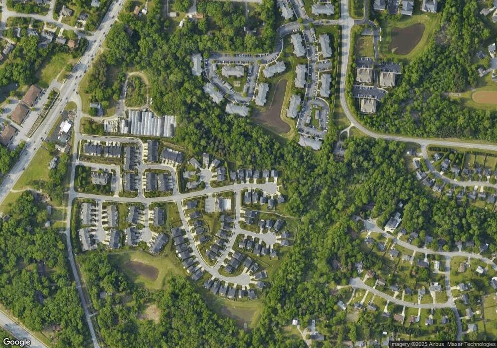
Map
Nearby Homes
- 3710 Spanish Peak Dr Unit 2D
- 3724 Spanish Peak Dr Unit 2B
- 2115 Mirus Ct
- 2200 Delaine Point
- 3521 Sunset Hollow Ct
- 3630 Sunset Hollow Dr
- 3642 Rock Meadow Cir
- 3741 Georgia Pond Ln
- 1935 Eastchester Dr
- 1924 Middlewood Ct
- 3960 Cobblestone Bend Dr
- 2632 Maxine Dr
- 3973 Cobblestone Bend Dr
- 2806 Splitbrooke Dr
- 2982 Cloverwood Dr
- 4404 Essex Ct
- 1906 Greenstone Place
- 7549 Sunnyvale Dr
- 2116 Penny Rd
- 4307 Oak Hollow Dr