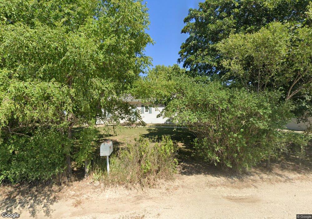
3815 Bluebird Rd Wamego, KS 66547
Estimated Value: $182,000 - $356,403
3
Beds
2
Baths
1,510
Sq Ft
$180/Sq Ft
Est. Value
About This Home
This home is located at 3815 Bluebird Rd, Wamego, KS 66547 and is currently estimated at $272,134, approximately $180 per square foot. 3815 Bluebird Rd is a home located in Pottawatomie County with nearby schools including Central Elementary School, West Elementary School, and Wamego Middle School.
Ownership History
Date
Name
Owned For
Owner Type
Purchase Details
Closed on
Nov 26, 2005
Sold by
Edwards Peggy E
Bought by
Brown Catherine E and Crossley Gary R
Current Estimated Value
Home Financials for this Owner
Home Financials are based on the most recent Mortgage that was taken out on this home.
Original Mortgage
$117,200
Outstanding Balance
$65,574
Interest Rate
6.29%
Estimated Equity
$206,560
Create a Home Valuation Report for This Property
The Home Valuation Report is an in-depth analysis detailing your home's value as well as a comparison with similar homes in the area
Home Values in the Area
Average Home Value in this Area
Purchase History
| Date | Buyer | Sale Price | Title Company |
|---|---|---|---|
| Brown Catherine E | -- | Kansas Secured Title-Manhatt |
Source: Public Records
Mortgage History
| Date | Status | Borrower | Loan Amount |
|---|---|---|---|
| Open | Brown Catherine E | $117,200 |
Source: Public Records
Tax History Compared to Growth
Tax History
| Year | Tax Paid | Tax Assessment Tax Assessment Total Assessment is a certain percentage of the fair market value that is determined by local assessors to be the total taxable value of land and additions on the property. | Land | Improvement |
|---|---|---|---|---|
| 2025 | $1,607 | $18,958 | $3,607 | $15,351 |
| 2024 | $16 | $18,758 | $3,471 | $15,287 |
| 2023 | $1,709 | $18,739 | $3,509 | $15,230 |
| 2022 | $1,379 | $16,952 | $3,501 | $13,451 |
| 2021 | $1,379 | $15,558 | $3,147 | $12,411 |
| 2020 | $1,379 | $15,376 | $3,138 | $12,238 |
| 2019 | $1,420 | $15,628 | $3,114 | $12,514 |
| 2018 | $1,462 | $15,696 | $2,645 | $13,051 |
| 2017 | $1,430 | $15,174 | $2,630 | $12,544 |
| 2016 | $1,436 | $15,530 | $2,576 | $12,954 |
| 2015 | -- | $15,259 | $2,507 | $12,752 |
| 2014 | -- | $11,788 | $1,977 | $9,811 |
Source: Public Records
Map
Nearby Homes
- 4320 Rebecca Ln
- 15115 Military Trail Rd
- 3673 Stewart Farm Rd
- 14452 Wildwood Cir
- 14578 Wildwood Cir
- 207 Ruth's Ln
- 14373 Prairie Trail
- 14434 Wildwood Cir
- 14470 Wildwood Cir
- 14371 Prairie Fire Ln
- 14380 Prairie Trail
- 14409 Wildwood Cir
- 14391 Prairie Trail
- 401 Overbrook Dr
- 2010 Arbor Ln
- 2002 Arbor Ln
- 2001 Arbor Ln
- 2008 Arbor Ln
- 2203 Country Club Dr
- 14416 Wildwood Cir
- 3865 Bluebird Rd
- 15650 6th Street Rd
- 15635 6th Street Rd
- 15830 6th Street Rd
- 3570 Bluebird Rd
- 15805 6th Street Rd
- 15400 6th Street Rd
- 15845 6th Street Rd
- 15855 6th Street Rd
- 15603 Stonington Dr
- 15713 Stonington Dr
- 15629 Stonington Dr
- 15691 Stonington Dr
- 15606 Stonington Dr
- 15667 Stonington Dr
- 15735 Stonington Dr
- 15634 Stonington Dr
- 15767 Stonington Dr
- 15708 Stonington Dr
- 15668 Stonington Dr