382 Timmy Cir Morganton, GA 30560
Estimated Value: $1,183,000 - $1,635,000
--
Bed
2
Baths
1,728
Sq Ft
$815/Sq Ft
Est. Value
About This Home
This home is located at 382 Timmy Cir, Morganton, GA 30560 and is currently estimated at $1,409,000, approximately $815 per square foot. 382 Timmy Cir is a home with nearby schools including Fannin County High School.
Ownership History
Date
Name
Owned For
Owner Type
Purchase Details
Closed on
Jun 29, 2004
Sold by
Macdonald Edward A and Macdonald Donna D
Bought by
Erdman Stephen J
Current Estimated Value
Purchase Details
Closed on
May 28, 2003
Sold by
Macdonald Edward A and Macdonald Donna D
Bought by
Macdonald Edward A and Macdon Donna D
Purchase Details
Closed on
Aug 15, 2002
Sold by
Macdonald Edward A
Bought by
Macdonald Edward A and Macdon Donna D
Purchase Details
Closed on
Sep 27, 1996
Sold by
Robertson Patricia A
Bought by
Robertson Patricia A
Purchase Details
Closed on
Jun 22, 1984
Bought by
Robertson Patricia A
Create a Home Valuation Report for This Property
The Home Valuation Report is an in-depth analysis detailing your home's value as well as a comparison with similar homes in the area
Home Values in the Area
Average Home Value in this Area
Purchase History
| Date | Buyer | Sale Price | Title Company |
|---|---|---|---|
| Erdman Stephen J | $631,300 | -- | |
| Macdonald Edward A | -- | -- | |
| Macdonald Edward A | -- | -- | |
| Macdonald Edward A | $515,500 | -- | |
| Robertson Patricia A | -- | -- | |
| Robertson Patricia A | $85,000 | -- |
Source: Public Records
Tax History Compared to Growth
Tax History
| Year | Tax Paid | Tax Assessment Tax Assessment Total Assessment is a certain percentage of the fair market value that is determined by local assessors to be the total taxable value of land and additions on the property. | Land | Improvement |
|---|---|---|---|---|
| 2025 | $5,082 | $554,503 | $340,000 | $214,503 |
| 2024 | $5,082 | $554,503 | $340,000 | $214,503 |
| 2023 | $5,356 | $525,266 | $340,000 | $185,266 |
| 2022 | $5,382 | $527,925 | $340,000 | $187,925 |
| 2021 | $5,287 | $377,112 | $315,000 | $62,112 |
| 2020 | $5,019 | $352,112 | $290,000 | $62,112 |
| 2019 | $4,971 | $342,112 | $280,000 | $62,112 |
| 2017 | $5,221 | $295,097 | $232,000 | $63,097 |
Source: Public Records
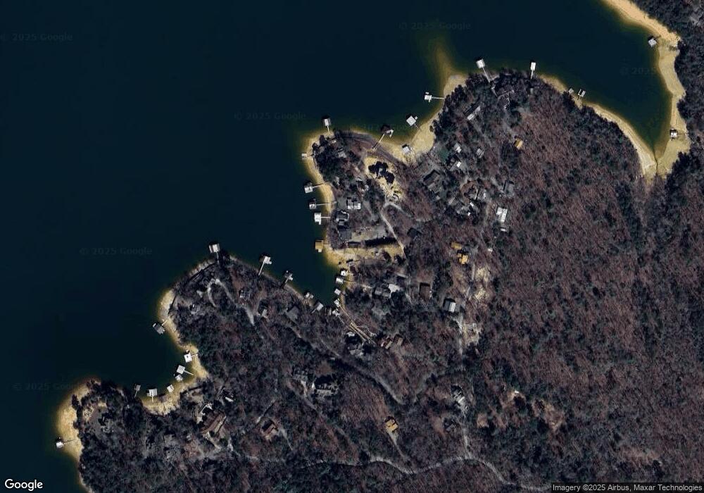
Map
Nearby Homes
- .76 AC Charlotte Cir
- .76 acre Charlotte Cir
- .76 ACRES Charlotte Cir
- 66 Rome Point
- 474 Stewart Camp Point
- 18 Mallard Ln
- 48 Orchard Dr
- 790 Star Creek Dr
- 0 Circle Dr Unit 324443
- 354 Ridgeview Cir
- 0 Ridge St Unit LOT 27 10593030
- 0 Ridge St Unit 7640123
- 0 Ridge Rd
- 45 Wilderness Trail
- 92 Wilderness Trail
- 128 Overlake Ct
- 6.4 Acre Collins Rd
- 173 Southern Cross Ct
- 294 Campbell Camp Cir
- 67 McNelley Dr