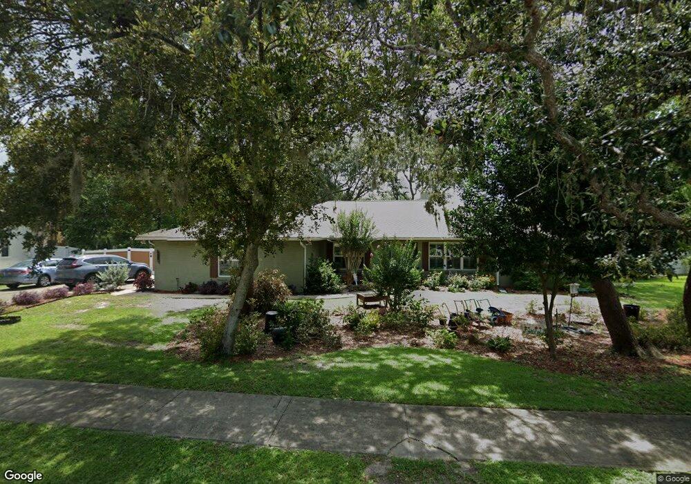
3820 Cottonwood Dr Titusville, FL 32780
Estimated Value: $368,748 - $435,000
4
Beds
2
Baths
2,075
Sq Ft
$191/Sq Ft
Est. Value
About This Home
This home is located at 3820 Cottonwood Dr, Titusville, FL 32780 and is currently estimated at $396,187, approximately $190 per square foot. 3820 Cottonwood Dr is a home located in Brevard County with nearby schools including Apollo Elementary School, Titusville High School, and Andrew Jackson Middle School.
Ownership History
Date
Name
Owned For
Owner Type
Purchase Details
Closed on
Sep 7, 2006
Sold by
Lamb Marcus C and Lamb Pauline Fay
Bought by
Lamb Marcus C and Lamb Pauline Fay
Current Estimated Value
Purchase Details
Closed on
Aug 27, 2003
Sold by
Patterson John C and Patterson Kathleen M
Bought by
Lamb Coram Roger and Lamb Marcus C
Home Financials for this Owner
Home Financials are based on the most recent Mortgage that was taken out on this home.
Original Mortgage
$135,920
Interest Rate
5.94%
Create a Home Valuation Report for This Property
The Home Valuation Report is an in-depth analysis detailing your home's value as well as a comparison with similar homes in the area
Home Values in the Area
Average Home Value in this Area
Purchase History
| Date | Buyer | Sale Price | Title Company |
|---|---|---|---|
| Lamb Marcus C | -- | Attorney | |
| Lamb Coram Roger | $169,900 | Gulfatlantic Title |
Source: Public Records
Mortgage History
| Date | Status | Borrower | Loan Amount |
|---|---|---|---|
| Previous Owner | Lamb Coram Roger | $135,920 | |
| Closed | Lamb Coram Roger | $25,485 |
Source: Public Records
Tax History Compared to Growth
Tax History
| Year | Tax Paid | Tax Assessment Tax Assessment Total Assessment is a certain percentage of the fair market value that is determined by local assessors to be the total taxable value of land and additions on the property. | Land | Improvement |
|---|---|---|---|---|
| 2025 | $1,640 | $126,330 | -- | -- |
| 2024 | $1,590 | $122,770 | -- | -- |
| 2023 | $1,590 | $119,200 | $0 | $0 |
| 2022 | $1,466 | $115,730 | $0 | $0 |
| 2021 | $1,484 | $112,360 | $0 | $0 |
| 2020 | $1,477 | $110,810 | $0 | $0 |
| 2019 | $1,490 | $108,320 | $0 | $0 |
| 2018 | $1,490 | $106,310 | $0 | $0 |
| 2017 | $1,473 | $104,130 | $0 | $0 |
| 2016 | $1,377 | $101,990 | $45,000 | $56,990 |
| 2015 | $1,417 | $101,290 | $41,000 | $60,290 |
| 2014 | $1,406 | $100,490 | $35,000 | $65,490 |
Source: Public Records
Map
Nearby Homes
- 3855 Cottonwood Dr
- 0 Sr405 Unit MFRO6323198
- 3690 Hickory Park Dr
- 2671 Sussana Ln
- 0000 Unknown
- 2985 Knox McRae Dr
- 4230 Grovewood Ln
- 2648 Hemlock Ct
- 3500 Cumberlin Ct
- 2705 Wilmette Ave
- 2559 Christopher Dr
- 2564 Christopher Dr
- 2351 Middlecoff Ct
- 3530 Alan Dr
- 4549 Helena Dr
- 2575 Indian Hills Ct
- 2352 Armour Ct
- 4491 Derbyshire Dr
- 2510 White Oak Ln
- 2864 Haven Way
- 3810 Cottonwood Dr
- 3830 Cottonwood Dr
- 3015 Eads Ct
- 3835 Cottonwood Dr
- 3165 Sandalwood Ln
- 3000 Eads Ct
- 3825 Cottonwood Dr
- 3800 Cottonwood Dr
- 3840 Cottonwood Dr
- 3025 Eads Ct
- 3175 Sandalwood Ln
- 3155 Sandalwood Ln
- 3815 Cottonwood Dr
- 3860 Cottonwood Dr
- 3020 Eads Ct
- 3840 Grovewood Ln
- 3790 Cottonwood Dr
- 3185 Sandalwood Ln
- 3045 Eads Ct
- 3145 Sandalwood Ln