38204 431st St Perham, MN 56573
Estimated Value: $617,000 - $949,000
3
Beds
2
Baths
1,216
Sq Ft
$632/Sq Ft
Est. Value
About This Home
This home is located at 38204 431st St, Perham, MN 56573 and is currently estimated at $768,703, approximately $632 per square foot. 38204 431st St is a home with nearby schools including Heart of the Lake Elementary School and Perham Senior High School.
Ownership History
Date
Name
Owned For
Owner Type
Purchase Details
Closed on
Sep 3, 2014
Sold by
Moenkedick Irene Irene
Bought by
Moenkedick Andrew and Moenkedick Kathleen
Current Estimated Value
Home Financials for this Owner
Home Financials are based on the most recent Mortgage that was taken out on this home.
Original Mortgage
$40,000
Outstanding Balance
$30,577
Interest Rate
4.1%
Estimated Equity
$738,126
Create a Home Valuation Report for This Property
The Home Valuation Report is an in-depth analysis detailing your home's value as well as a comparison with similar homes in the area
Purchase History
| Date | Buyer | Sale Price | Title Company |
|---|---|---|---|
| Moenkedick Andrew | $90,000 | -- |
Source: Public Records
Mortgage History
| Date | Status | Borrower | Loan Amount |
|---|---|---|---|
| Open | Moenkedick Andrew | $40,000 |
Source: Public Records
Tax History
| Year | Tax Paid | Tax Assessment Tax Assessment Total Assessment is a certain percentage of the fair market value that is determined by local assessors to be the total taxable value of land and additions on the property. | Land | Improvement |
|---|---|---|---|---|
| 2025 | $4,916 | $841,400 | $296,900 | $544,500 |
| 2024 | $4,928 | $830,500 | $281,100 | $549,400 |
| 2023 | $4,554 | $644,900 | $216,000 | $428,900 |
| 2022 | $4,790 | $455,400 | $0 | $0 |
| 2021 | $5,326 | $644,900 | $216,000 | $428,900 |
| 2020 | $5,141 | $558,100 | $150,900 | $407,200 |
| 2019 | $4,070 | $516,200 | $148,700 | $367,500 |
| 2018 | $4,128 | $514,600 | $147,100 | $367,500 |
| 2017 | $2,212 | $488,800 | $140,300 | $348,500 |
| 2016 | $2,530 | $322,500 | $136,300 | $186,200 |
Source: Public Records
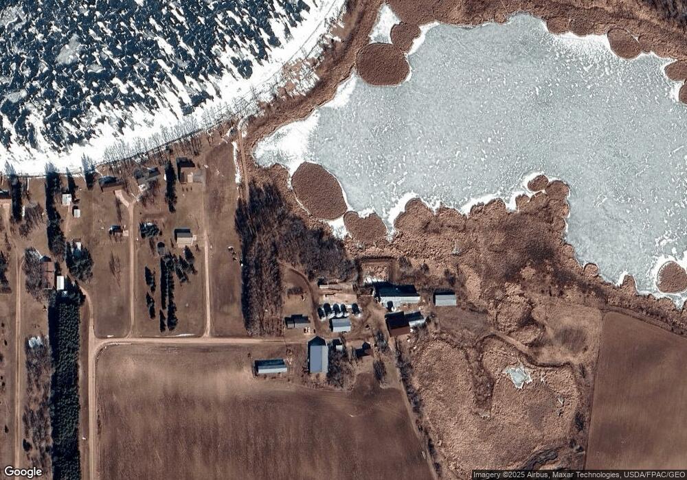
Map
Nearby Homes
- 378 Mallard Loop
- 37791 Mallard Loop
- Lot 12 Block 2 402nd Ave
- 42626 County Highway 125
- 41165 427th St
- 37675 395th St
- Lot 4 Seclusion Point Rd
- 37577 470th St
- 41474 460 St
- 36865 Co Hwy 36
- Tbd Co Hwy 36
- 34306 Twin Island Ln
- 41474 460th St
- 34343 Twin Island Dr
- 34818 County Highway 36
- 42734 State Highway 108
- 902 9th St SW
- 829 9th Ave SW
- 805 9th Ave SW Unit B
- 37923 County Highway 44
- 38087 431st St
- 38031 431st St
- 38027 431st St
- 38001 431st St
- 37939 430th St
- 38461 428th St
- 37935 430th St
- 37863 430th St
- 37871 430th St
- 43531 43531 E Paul Lake Dr
- 43512 E Paul Lake Dr
- 43533 E Paul Lake Dr
- 43531 E Paul Lake Dr
- 43134 S Paul Lake Dr
- 38762 435th St
- 43148 S Paul Lake Dr
- 43591 E Paul Lake Dr
- 43166 S Paul Lake Dr
- 43609 E Paul Lake Dr
- 38484 428th St
Your Personal Tour Guide
Ask me questions while you tour the home.