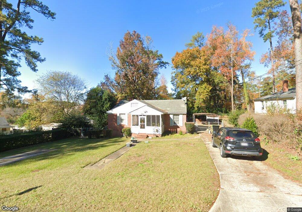
3821 Calhoun Dr Columbus, GA 31903
Southern Columbus NeighborhoodEstimated Value: $40,000 - $71,000
2
Beds
2
Baths
1,038
Sq Ft
$58/Sq Ft
Est. Value
About This Home
This home is located at 3821 Calhoun Dr, Columbus, GA 31903 and is currently estimated at $60,149, approximately $57 per square foot. 3821 Calhoun Dr is a home located in Muscogee County with nearby schools including Dorothy Height Elementary School, Eddy Middle School, and Spencer High School.
Ownership History
Date
Name
Owned For
Owner Type
Purchase Details
Closed on
Mar 19, 2010
Sold by
Turman Frank A and Turman Edna E
Bought by
Dorsey Barbara and Dorsey Joni
Current Estimated Value
Home Financials for this Owner
Home Financials are based on the most recent Mortgage that was taken out on this home.
Original Mortgage
$36,900
Outstanding Balance
$24,395
Interest Rate
4.93%
Mortgage Type
Seller Take Back
Estimated Equity
$35,754
Purchase Details
Closed on
Nov 10, 2008
Sold by
Va
Bought by
Turman Frank A and Turman Edna E
Purchase Details
Closed on
Jul 1, 2008
Sold by
Gmac Mortgage Llc
Bought by
Va
Purchase Details
Closed on
Jan 3, 2008
Sold by
Lane Marion
Bought by
Gmac Mortgage Llc
Purchase Details
Closed on
Feb 7, 2003
Sold by
Eastern Properties Inc
Bought by
Lane Marion
Create a Home Valuation Report for This Property
The Home Valuation Report is an in-depth analysis detailing your home's value as well as a comparison with similar homes in the area
Home Values in the Area
Average Home Value in this Area
Purchase History
| Date | Buyer | Sale Price | Title Company |
|---|---|---|---|
| Dorsey Barbara | $41,500 | None Available | |
| Turman Frank A | $106,200 | None Available | |
| Va | -- | None Available | |
| Gmac Mortgage Llc | $64,650 | None Available | |
| Lane Marion | -- | None Available |
Source: Public Records
Mortgage History
| Date | Status | Borrower | Loan Amount |
|---|---|---|---|
| Open | Dorsey Barbara | $36,900 |
Source: Public Records
Tax History Compared to Growth
Tax History
| Year | Tax Paid | Tax Assessment Tax Assessment Total Assessment is a certain percentage of the fair market value that is determined by local assessors to be the total taxable value of land and additions on the property. | Land | Improvement |
|---|---|---|---|---|
| 2025 | $215 | $25,704 | $4,652 | $21,052 |
| 2024 | $214 | $25,508 | $3,440 | $22,068 |
| 2023 | $16 | $25,508 | $3,440 | $22,068 |
| 2022 | $223 | $20,172 | $3,440 | $16,732 |
| 2021 | $216 | $18,684 | $3,440 | $15,244 |
| 2020 | $216 | $18,684 | $3,440 | $15,244 |
| 2019 | $219 | $18,684 | $3,440 | $15,244 |
| 2018 | $219 | $18,684 | $3,440 | $15,244 |
| 2017 | $221 | $18,684 | $3,440 | $15,244 |
| 2016 | $995 | $24,121 | $3,188 | $20,933 |
| 2015 | $996 | $24,121 | $3,188 | $20,933 |
| 2014 | $997 | $24,121 | $3,188 | $20,933 |
| 2013 | -- | $24,121 | $3,188 | $20,933 |
Source: Public Records
Map
Nearby Homes
- 3827 Calhoun Dr
- 1726 Fort Benning Rd
- 1732 Fort Benning Rd
- 1738 Fort Benning Rd
- 1727 Penn Ave
- 1720 Fort Benning Rd
- 1719 Penn Ave
- 3838 Calhoun Dr
- 3820 Calhoun Dr
- 3818 Calhoun Dr
- 1713 Penn Ave
- 1714 Fort Benning Rd
- 3822 Calhoun Dr
- 3842 Calhoun Dr
- 1802 Fort Benning Rd
- 1707 Penn Ave
- 1708 Fort Benning Rd
- 3911 Calhoun Dr
- 1813 Penn Ave
- 15 Muscogee Dr