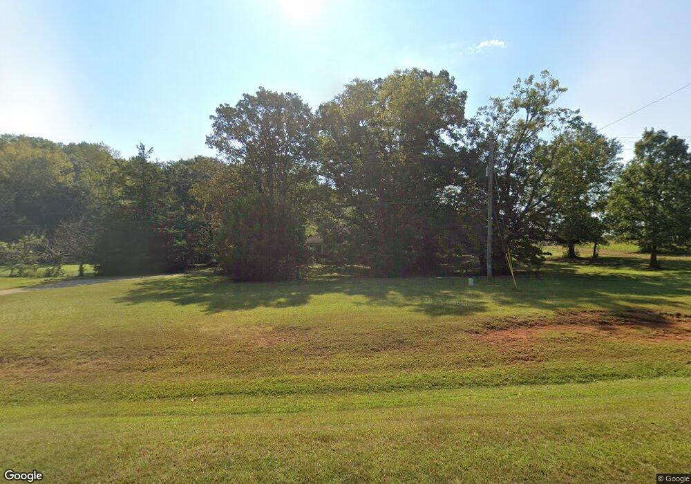
3822 S Highway 27 Carrollton, GA 30117
Estimated Value: $282,000 - $456,176
3
Beds
1
Bath
1,444
Sq Ft
$263/Sq Ft
Est. Value
About This Home
This home is located at 3822 S Highway 27, Carrollton, GA 30117 and is currently estimated at $380,294, approximately $263 per square foot. 3822 S Highway 27 is a home located in Carroll County with nearby schools including Roopville Elementary School, Central Middle School, and Central High School.
Ownership History
Date
Name
Owned For
Owner Type
Purchase Details
Closed on
Aug 13, 2010
Sold by
Teal George and Teal Denise
Bought by
Teal George F and Teal Denise J
Current Estimated Value
Purchase Details
Closed on
Feb 2, 2009
Sold by
Teal George
Bought by
Teal George F
Purchase Details
Closed on
Feb 3, 2005
Sold by
Teal George and Teal Denise
Bought by
Teal George and Teal Denise
Purchase Details
Closed on
Nov 27, 1998
Sold by
Teal George and Teal Denise
Bought by
Teal George and Teal Denise
Purchase Details
Closed on
Apr 24, 1998
Sold by
Teal George and Teal Denise
Bought by
Teal George and Teal Denise
Purchase Details
Closed on
Jan 17, 1984
Bought by
Teal George and Teal Denise
Create a Home Valuation Report for This Property
The Home Valuation Report is an in-depth analysis detailing your home's value as well as a comparison with similar homes in the area
Home Values in the Area
Average Home Value in this Area
Purchase History
| Date | Buyer | Sale Price | Title Company |
|---|---|---|---|
| Teal George F | -- | -- | |
| Teal George F | -- | -- | |
| Teal George | -- | -- | |
| Teal George | $30,000 | -- | |
| Teal George | -- | -- | |
| Teal George | -- | -- |
Source: Public Records
Tax History Compared to Growth
Tax History
| Year | Tax Paid | Tax Assessment Tax Assessment Total Assessment is a certain percentage of the fair market value that is determined by local assessors to be the total taxable value of land and additions on the property. | Land | Improvement |
|---|---|---|---|---|
| 2024 | $279 | $147,344 | $84,448 | $62,896 |
| 2023 | $279 | $125,833 | $67,559 | $58,274 |
| 2022 | $332 | $91,833 | $45,040 | $46,793 |
| 2021 | $335 | $77,503 | $36,031 | $41,472 |
| 2020 | $1,538 | $69,075 | $32,756 | $36,319 |
| 2019 | $1,496 | $66,200 | $32,756 | $33,444 |
| 2018 | $1,438 | $61,922 | $30,612 | $31,310 |
| 2017 | $1,442 | $61,922 | $30,612 | $31,310 |
| 2016 | $1,442 | $61,922 | $30,612 | $31,310 |
| 2015 | $1,271 | $49,452 | $25,993 | $23,459 |
| 2014 | $1,277 | $49,452 | $25,993 | $23,459 |
Source: Public Records
Map
Nearby Homes
- 0 Bonner Goldmine Rd Unit 145631
- 0 Bonner Goldmine Rd Unit 10433818
- 0 Ringer Rd Unit 10595950
- 00 Ringer Rd
- 0 Lowell Rd Unit 10516194
- 2088 Star Point Rd
- 141 Nugget Rd Unit 67
- 195 Gold Dust Trail
- 191 Tumlin Creek Rd
- 115 Nugget Rd
- 221 Valley Ridge Dr
- 2492 Oak Grove Church Rd
- 472 Carrie Kathleen Terrace
- 0 Louise Ln Unit 10563364
- 1170 Lowell Rd
- 1915 Whooping Creek Church Rd
- 915 Oak Grove Rd
- 500 Coleman Mill Rd
- 2214 Hays Mill Rd
- 301 E Highway 5
- 3786 S Highway 27
- 3554 N Highway 27
- 3554 N Highway 27
- 198 Hester Rd
- 591 Ringer Rd
- 155 Hester Rd
- 3825 S Highway 27 Unit 2
- 3825 S Highway 27
- 3825 S Highway 27 Unit 2 & 3
- 0 Shirey Dairy Tract 7 (10 Acres) Unit 7117153
- 0 Shirey Dairy Tract 7 (10 Acres) Unit 143028
- 0 Shirey Dairy Tract 7 (10 Acres) Unit 10061704
- 85 Hester Rd
- 90 Shirey Dairy Rd
- 0 Shirey Dairy Tract 5 (10 Acres) Unit 7117195
- 0 Shirey Dairy Tract 6 (10 Acres) Unit 7117163
- 0 Shirey Dairy Tract 6 (10 Acres) Unit 142775
- 0 Shirey Dairy Tract 5 (10 Acres) Unit 142776
- 0 Shirey Dairy Tract 2 (10 Acres) Unit 142777
- 0 Shirey Dairy Tract 2 (10 Acres) Unit 10044754