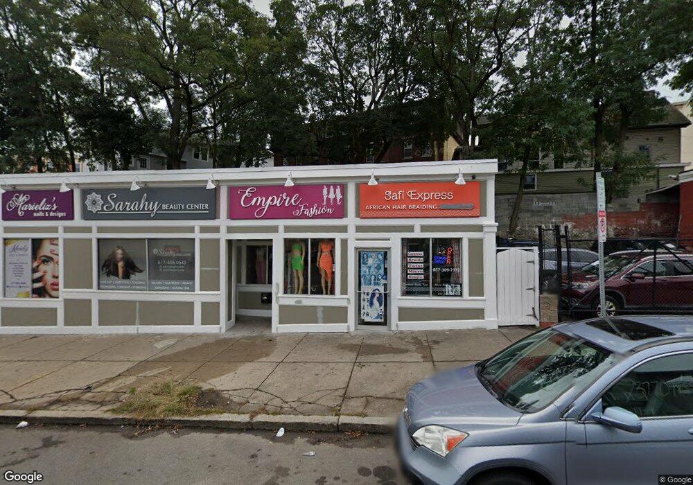
383 Bowdoin St Dorchester, MA 02122
Uphams Corner-Jones Hill Neighborhood
--
Bed
--
Bath
3,198
Sq Ft
5,663
Sq Ft Lot
About This Home
This home is located at 383 Bowdoin St, Dorchester, MA 02122. 383 Bowdoin St is a home located in Suffolk County with nearby schools including UP Academy Charter School of Dorchester, Helen Y. Davis Leadership Academy Charter Public School, and Cristo Rey Boston High School.
Ownership History
Date
Name
Owned For
Owner Type
Purchase Details
Closed on
Jun 19, 2014
Sold by
383 Bowdoin Llc
Bought by
Castillo Carlos
Home Financials for this Owner
Home Financials are based on the most recent Mortgage that was taken out on this home.
Original Mortgage
$375,000
Outstanding Balance
$285,340
Interest Rate
4.21%
Mortgage Type
Commercial
Purchase Details
Closed on
Dec 21, 2012
Sold by
Fernandes Quintillo G and Fernandes Judite
Bought by
383 Bowdoin Llc
Purchase Details
Closed on
Apr 12, 2001
Sold by
Ilt Rite Trust
Bought by
Fernandes Quintilio G
Create a Home Valuation Report for This Property
The Home Valuation Report is an in-depth analysis detailing your home's value as well as a comparison with similar homes in the area
Home Values in the Area
Average Home Value in this Area
Purchase History
| Date | Buyer | Sale Price | Title Company |
|---|---|---|---|
| Castillo Carlos | $310,000 | -- | |
| 383 Bowdoin Llc | $207,827 | -- | |
| Fernandes Quintilio G | $145,000 | -- |
Source: Public Records
Mortgage History
| Date | Status | Borrower | Loan Amount |
|---|---|---|---|
| Open | Castillo Carlos | $375,000 |
Source: Public Records
Tax History Compared to Growth
Tax History
| Year | Tax Paid | Tax Assessment Tax Assessment Total Assessment is a certain percentage of the fair market value that is determined by local assessors to be the total taxable value of land and additions on the property. | Land | Improvement |
|---|---|---|---|---|
| 2025 | $12,414 | $478,200 | $133,700 | $344,500 |
| 2024 | $12,915 | $511,100 | $133,700 | $377,400 |
| 2023 | $12,745 | $516,400 | $133,700 | $382,700 |
| 2022 | $12,333 | $493,700 | $133,700 | $360,000 |
| 2021 | $12,479 | $508,300 | $89,200 | $419,100 |
| 2020 | $12,246 | $491,400 | $89,200 | $402,200 |
| 2019 | $12,288 | $491,500 | $89,100 | $402,400 |
| 2018 | $11,529 | $457,500 | $83,600 | $373,900 |
| 2017 | $10,795 | $425,500 | $78,000 | $347,500 |
| 2016 | $7,504 | $279,900 | $72,400 | $207,500 |
| 2015 | $6,745 | $228,500 | $66,900 | $161,600 |
| 2014 | $6,704 | $215,000 | $61,300 | $153,700 |
Source: Public Records
Map
Nearby Homes
- 22 High St Unit 203
- 22 High St Unit 201
- 22 High St Unit 103
- 22 High St Unit PH12
- 22 High St Unit PH13
- 22 High St Unit 104
- 22 High St Unit PH11
- 20 Rill St
- 33 Adams St Unit 1
- 22 Ronan St
- 35-37 Clarkson St
- 7 Fox St Unit 1
- 3 Ware St
- 19 Mount Ida Rd
- 106 Sawyer Ave Unit 3
- 70-72 Clarkson St
- 52 Bellevue St Unit 1
- 52 Bellevue St Unit 2
- 18 Lyon St Unit 2
- 11 Savin Hill Ave