383 Rattlesnake Dr Crossville, TN 38571
Estimated Value: $158,000 - $466,000
--
Bed
1
Bath
1,184
Sq Ft
$228/Sq Ft
Est. Value
About This Home
This home is located at 383 Rattlesnake Dr, Crossville, TN 38571 and is currently estimated at $269,765, approximately $227 per square foot. 383 Rattlesnake Dr is a home located in Cumberland County with nearby schools including North Cumberland Elementary School and Stone Memorial High School.
Ownership History
Date
Name
Owned For
Owner Type
Purchase Details
Closed on
Jan 20, 2004
Sold by
Beaty Thomas Larry
Bought by
Staton Gregory P
Current Estimated Value
Purchase Details
Closed on
Jan 31, 2002
Sold by
Hamby Willene
Bought by
Hamby Ronnie
Purchase Details
Closed on
Jul 26, 2001
Sold by
Beaty Thomas Larry
Bought by
Hamby Ronnie
Purchase Details
Closed on
Oct 10, 2000
Sold by
Hamby Willene
Bought by
Thomas Beaty
Purchase Details
Closed on
Jul 7, 2000
Sold by
Beaty Thomas Larry
Bought by
Hamby Willene
Purchase Details
Closed on
Mar 30, 1999
Sold by
Beaty Thomas Larry
Bought by
Goss Venable H
Purchase Details
Closed on
Aug 9, 1994
Bought by
Beaty Thomas Larry and Beaty Ollie Lou
Create a Home Valuation Report for This Property
The Home Valuation Report is an in-depth analysis detailing your home's value as well as a comparison with similar homes in the area
Home Values in the Area
Average Home Value in this Area
Purchase History
| Date | Buyer | Sale Price | Title Company |
|---|---|---|---|
| Staton Gregory P | $4,000 | -- | |
| Hamby Ronnie | $3,500 | -- | |
| Hamby Ronnie | $7,000 | -- | |
| Thomas Beaty | $17,401 | -- | |
| Hamby Willene | $8,070 | -- | |
| Goss Venable H | $45,000 | -- | |
| Beaty Thomas Larry | $40,000 | -- |
Source: Public Records
Tax History Compared to Growth
Tax History
| Year | Tax Paid | Tax Assessment Tax Assessment Total Assessment is a certain percentage of the fair market value that is determined by local assessors to be the total taxable value of land and additions on the property. | Land | Improvement |
|---|---|---|---|---|
| 2024 | $347 | $30,600 | $7,550 | $23,050 |
| 2023 | $0 | $30,600 | $0 | $0 |
| 2022 | $347 | $30,600 | $7,550 | $23,050 |
| 2021 | $299 | $19,100 | $6,200 | $12,900 |
| 2020 | $299 | $19,100 | $6,200 | $12,900 |
| 2019 | $299 | $19,100 | $6,200 | $12,900 |
| 2018 | $299 | $19,100 | $6,200 | $12,900 |
| 2017 | $281 | $19,100 | $6,200 | $12,900 |
| 2016 | $237 | $15,525 | $5,125 | $10,400 |
| 2015 | $232 | $15,525 | $5,125 | $10,400 |
| 2014 | $233 | $15,546 | $0 | $0 |
Source: Public Records
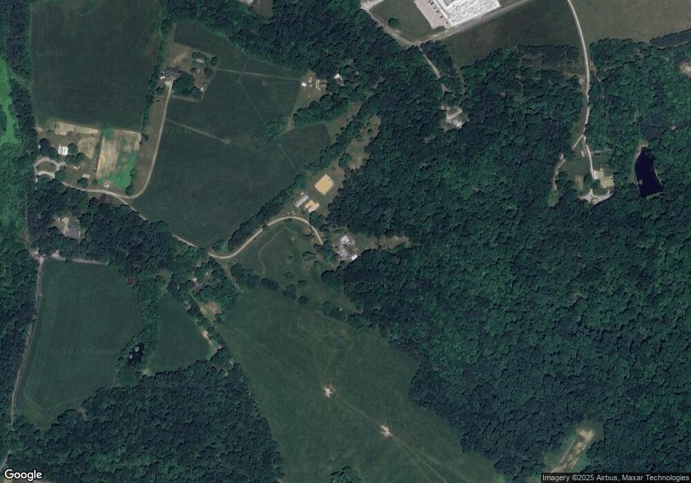
Map
Nearby Homes
- 1 Smith Rd
- 2 Smith Rd
- 3 Smith Rd
- 4 Smith Rd
- 74 Farmer Rd
- 405 Smith Rd
- 549 Smith Rd
- 401 Smith Rd
- 555 Smith Rd
- 0 Hwy 127 N Unit RTC2636228
- 0 Ferry Bend Tr Unit 1292974
- 0 Ferry Bend Tr Unit RTC2995085
- 0 Ferry Bend Tr Unit RTC2995089
- 0 Ferry Bend Tr Unit 1292975
- 0 Ferry Bend Tr Unit 1292679
- 0 Ferry Bend Tr Unit RTC2995090
- 307 Colby Cir
- 205 Ferry Bend Trail
- 257 Colby Cir
- Lot 12 Ferry Bend Trail