383 Upper Dedham Rd Dedham, ME 04429
Estimated Value: $300,000
Studio
--
Bath
--
Sq Ft
65,340
Sq Ft Lot
About This Home
This home is located at 383 Upper Dedham Rd, Dedham, ME 04429 and is currently estimated at $300,000. 383 Upper Dedham Rd is a home located in Hancock County with nearby schools including Dedham School.
Ownership History
Date
Name
Owned For
Owner Type
Purchase Details
Closed on
Jul 28, 2011
Sold by
Lambert Geraldine E
Bought by
Noddin Douglas L and Noddin Kayla M
Current Estimated Value
Home Financials for this Owner
Home Financials are based on the most recent Mortgage that was taken out on this home.
Original Mortgage
$31,420
Outstanding Balance
$21,233
Interest Rate
4.52%
Mortgage Type
Commercial
Estimated Equity
$278,767
Purchase Details
Closed on
Aug 3, 2006
Sold by
Noddin Douglas H and Noddin Holly C
Bought by
Lambert Geraldine E
Create a Home Valuation Report for This Property
The Home Valuation Report is an in-depth analysis detailing your home's value as well as a comparison with similar homes in the area
Purchase History
| Date | Buyer | Sale Price | Title Company |
|---|---|---|---|
| Noddin Douglas L | -- | -- | |
| Noddin Douglas L | -- | -- | |
| Noddin Douglas L | -- | -- | |
| Lambert Geraldine E | -- | -- | |
| Lambert Geraldine E | -- | -- |
Source: Public Records
Mortgage History
| Date | Status | Borrower | Loan Amount |
|---|---|---|---|
| Open | Noddin Douglas L | $31,420 | |
| Closed | Lambert Geraldine E | $31,420 |
Source: Public Records
Tax History
| Year | Tax Paid | Tax Assessment Tax Assessment Total Assessment is a certain percentage of the fair market value that is determined by local assessors to be the total taxable value of land and additions on the property. | Land | Improvement |
|---|---|---|---|---|
| 2025 | $1,673 | $103,600 | $46,500 | $57,100 |
| 2024 | $1,481 | $103,600 | $46,500 | $57,100 |
| 2023 | $609 | $35,800 | $35,800 | $0 |
| 2022 | $566 | $35,800 | $35,800 | $0 |
| 2021 | $794 | $49,600 | $35,800 | $13,800 |
| 2020 | $774 | $49,600 | $35,800 | $13,800 |
| 2019 | $722 | $49,600 | $35,800 | $13,800 |
| 2018 | $707 | $49,600 | $35,800 | $13,800 |
| 2017 | $707 | $49,600 | $35,800 | $13,800 |
| 2016 | $694 | $49,600 | $35,800 | $13,800 |
| 2014 | $567 | $36,850 | $25,000 | $11,850 |
| 2013 | $549 | $36,850 | $25,000 | $11,850 |
Source: Public Records
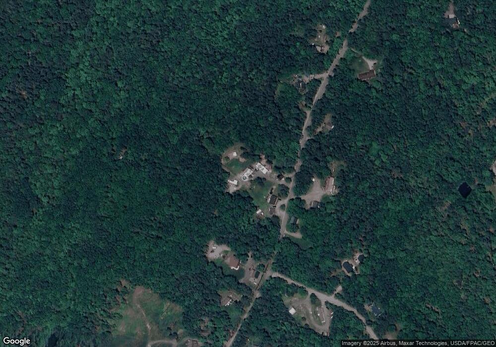
Map
Nearby Homes
- 325 Lower Dedham Rd
- 6 Horizon Dr
- 208 Upper Dedham Rd
- Lot#3 & 5 Millstream Heights
- Lot 5 Peakes Hill Rd
- 26 Mill Rd
- 630 South Rd
- 41 Rowe Brook Rd
- 11 High Hill Ct
- 358 Peakes Hill Rd
- 37 Lower Dedham Rd
- TBD Marks Mountain Way
- Lots 2&3 Maple Ridge Rd
- 78 Sunset Rd
- 126 Kidder Hill Rd
- 25 Orpine Rd
- 41-000-000 Kidder Hill Rd
- 2 Hornbeam Rd
- Lot 006-3 Dole Hill Rd
- 0 Bald Mountain Rd Unit 1635891
- 385 Upper Dedham Rd
- 374 Upper Dedham Rd
- 359 Upper Dedham Rd
- 354 Upper Dedham Rd
- 2145 Upper Dedham Rd
- 349 Upper Dedham Rd
- 394 Upper Dedham Rd
- 390 Upper Dedham Rd
- 389 Upper Dedham Rd
- 00 Off Peaks Hill
- Lot 2 Peakes Hill Rd
- 2 Peakes Hill Rd
- 0 Peakes Hill Rd
- 409 Upper Dedham Rd
- Lot10 Peakes Hill
- 6 Peakes Hill Rd
- 335 Upper Dedham Rd
- 3 Peakes Hill Rd
- 417 Upper Dedham Rd
- 325 Upper Dedham Rd
Your Personal Tour Guide
Ask me questions while you tour the home.