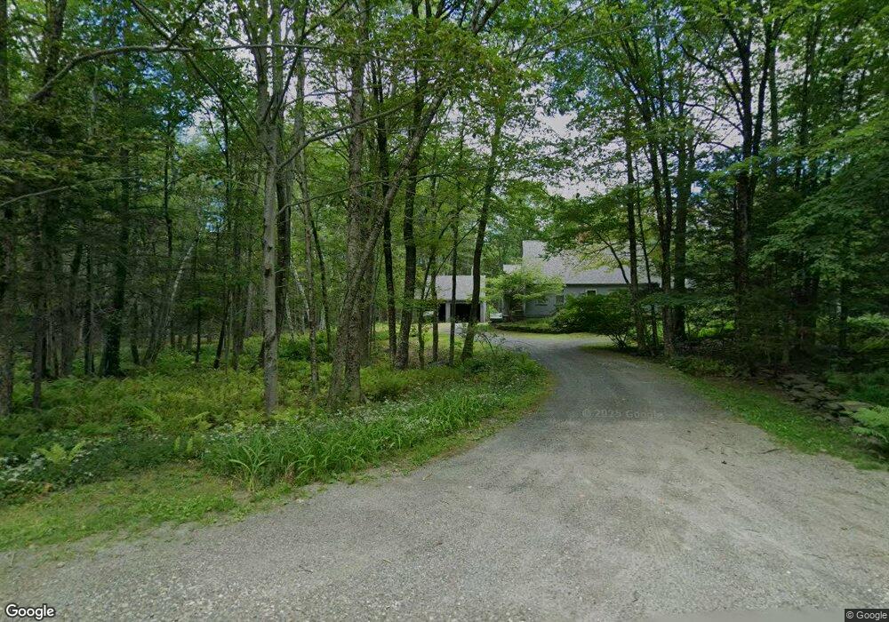
383 West Rd Ashfield, MA 01330
Ashfield NeighborhoodEstimated Value: $449,000 - $769,174
3
Beds
3
Baths
2,344
Sq Ft
$272/Sq Ft
Est. Value
About This Home
This home is located at 383 West Rd, Ashfield, MA 01330 and is currently estimated at $637,391, approximately $271 per square foot. 383 West Rd is a home located in Franklin County with nearby schools including Mohawk Trail Regional High School.
Create a Home Valuation Report for This Property
The Home Valuation Report is an in-depth analysis detailing your home's value as well as a comparison with similar homes in the area
Home Values in the Area
Average Home Value in this Area
Tax History
| Year | Tax Paid | Tax Assessment Tax Assessment Total Assessment is a certain percentage of the fair market value that is determined by local assessors to be the total taxable value of land and additions on the property. | Land | Improvement |
|---|---|---|---|---|
| 2025 | $9,888 | $734,600 | $121,300 | $613,300 |
| 2024 | $9,891 | $677,000 | $121,300 | $555,700 |
| 2023 | $8,928 | $507,000 | $99,900 | $407,100 |
| 2022 | $8,414 | $484,100 | $96,400 | $387,700 |
| 2021 | $3,467 | $484,100 | $96,400 | $387,700 |
| 2020 | $8,065 | $484,100 | $96,400 | $387,700 |
| 2019 | $7,719 | $449,800 | $102,800 | $347,000 |
| 2018 | $3,083 | $431,400 | $102,800 | $328,600 |
| 2017 | $7,080 | $436,500 | $101,900 | $334,600 |
| 2016 | $6,767 | $411,600 | $101,900 | $309,700 |
| 2015 | $6,573 | $411,600 | $101,900 | $309,700 |
| 2014 | $6,459 | $399,700 | $93,700 | $306,000 |
Source: Public Records
Map
Nearby Homes
- 527 Main St
- 40 Suburban Dr
- 0 Sears Rd Unit 73373850
- 220 Hawley Rd
- 240 Beldingville Rd
- 0 John Ford Rd Unit 73403156
- 0 Spruce Corner Rd Unit 73244975
- 0 N Bear River Rd Unit 73485981
- 333 Ranney Corner Rd
- 311 Cummington Rd
- 146 Berkshire Trail W
- 11 S Chesterfield Rd
- 0 Upper St
- 0 Fuller Rd
- 296 E Main St
- 7 Hog Hollow Rd
- 12 Pine Rd
- 10 Maple St
- 13 Bray Rd
- 54 Porter Hill Rd
Your Personal Tour Guide
Ask me questions while you tour the home.