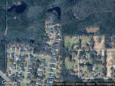
3830 Double Branch Dr Semmes, AL 36575
Red Creek NeighborhoodEstimated Value: $293,000 - $344,000
3
Beds
3
Baths
2,844
Sq Ft
$112/Sq Ft
Est. Value
About This Home
This home is located at 3830 Double Branch Dr, Semmes, AL 36575 and is currently estimated at $318,426, approximately $111 per square foot. 3830 Double Branch Dr is a home located in Mobile County with nearby schools including Semmes Elementary School, Semmes Middle School, and Mary G Montgomery High School.
Ownership History
Date
Name
Owned For
Owner Type
Purchase Details
Closed on
Aug 29, 2000
Sold by
Miller Patrick E and Miller Pam
Bought by
Roberts Paul Anthony and Roberts Donna D
Current Estimated Value
Home Financials for this Owner
Home Financials are based on the most recent Mortgage that was taken out on this home.
Original Mortgage
$162,350
Interest Rate
8.24%
Create a Home Valuation Report for This Property
The Home Valuation Report is an in-depth analysis detailing your home's value as well as a comparison with similar homes in the area
Home Values in the Area
Average Home Value in this Area
Purchase History
| Date | Buyer | Sale Price | Title Company |
|---|---|---|---|
| Roberts Paul Anthony | -- | -- |
Source: Public Records
Mortgage History
| Date | Status | Borrower | Loan Amount |
|---|---|---|---|
| Open | Roberts Paul A | $51,000 | |
| Closed | Roberts Paul A | $59,473 | |
| Closed | Roberts Paul A | $25,000 | |
| Closed | Roberts Paul A | $50,000 | |
| Closed | Roberts Paul A | $181,300 | |
| Closed | Roberts Paul Anthony | $15,000 | |
| Closed | Roberts Paul Anthony | $162,350 |
Source: Public Records
Tax History Compared to Growth
Tax History
| Year | Tax Paid | Tax Assessment Tax Assessment Total Assessment is a certain percentage of the fair market value that is determined by local assessors to be the total taxable value of land and additions on the property. | Land | Improvement |
|---|---|---|---|---|
| 2024 | $1,135 | $24,780 | $3,500 | $21,280 |
| 2023 | $1,135 | $21,670 | $3,200 | $18,470 |
| 2022 | $1,008 | $22,160 | $3,200 | $18,960 |
| 2021 | $1,004 | $22,080 | $3,200 | $18,880 |
| 2020 | $1,016 | $22,320 | $3,200 | $19,120 |
| 2019 | $1,025 | $22,510 | $3,000 | $19,510 |
| 2018 | $1,084 | $23,740 | $0 | $0 |
| 2017 | $1,084 | $23,740 | $0 | $0 |
| 2016 | $1,110 | $24,260 | $0 | $0 |
| 2013 | $1,079 | $24,100 | $0 | $0 |
Source: Public Records
Map
Nearby Homes
- 8070 Oak Hill Dr
- 3450 Whitestone Dr
- 3301 Schillinger Rd N
- 3260 Schillinger Rd N
- 4435 Schillinger Rd N
- 3391 Shady Acres Dr E
- 3405 Rowell Ct
- 7400a Griffice Rd
- 3130 Schillinger Rd N
- 0 Ching Dairy Loop Rd S
- 3449 Firetower Rd
- 8614 Brooklyn Ct
- 8602 Brooklyn Ct
- 8594 Brooklyn Ct
- 3660 Ching Dairy Rd
- 0 Firetower Rd Unit 7571653
- 0 Firetower Rd Unit 13 365017
- 3919 Firetower Rd
- 3490 Ching Dairy Rd
- 4470 Harvest Blvd E
- 3830 Double Branch Dr
- 3840 Double Branch Dr
- 3820 Double Branch Dr
- 3860 Double Branch Dr
- 3800 Double Branch Dr
- 3835 Double Branch Dr
- 3845 Double Branch Dr
- 3815 Double Branch Dr
- 3805 Double Branch Dr
- 3870 Double Branch Dr
- 3780 Double Branch Dr
- 3855 Double Branch Dr
- 3801 Hi Wood Cir W
- 3821 Hi Wood Cir W
- 3821 Hi Wood Cir W
- 3779 Double Branch Dr
- 3770 Double Branch Dr
- 3775 Hi Wood Cir W
- 3875 Double Branch Dr
- 3775 Double Branch Dr
