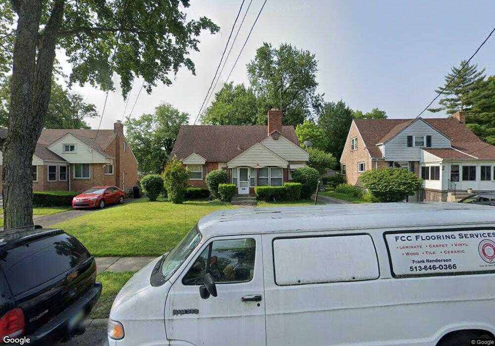
3835 Aikenside Ave Cincinnati, OH 45213
Kennedy Heights NeighborhoodEstimated Value: $296,000 - $327,000
3
Beds
2
Baths
1,588
Sq Ft
$192/Sq Ft
Est. Value
About This Home
This home is located at 3835 Aikenside Ave, Cincinnati, OH 45213 and is currently estimated at $305,125, approximately $192 per square foot. 3835 Aikenside Ave is a home located in Hamilton County with nearby schools including John P. Parker School, Shroder High School, and Clark Montessori High School.
Ownership History
Date
Name
Owned For
Owner Type
Purchase Details
Closed on
Sep 16, 2011
Sold by
Quick Rosemary
Bought by
Edwards Stephanie L
Current Estimated Value
Home Financials for this Owner
Home Financials are based on the most recent Mortgage that was taken out on this home.
Original Mortgage
$94,435
Outstanding Balance
$64,638
Interest Rate
4.25%
Mortgage Type
FHA
Estimated Equity
$240,487
Create a Home Valuation Report for This Property
The Home Valuation Report is an in-depth analysis detailing your home's value as well as a comparison with similar homes in the area
Home Values in the Area
Average Home Value in this Area
Purchase History
| Date | Buyer | Sale Price | Title Company |
|---|---|---|---|
| Edwards Stephanie L | $100,000 | Attorney |
Source: Public Records
Mortgage History
| Date | Status | Borrower | Loan Amount |
|---|---|---|---|
| Open | Edwards Stephanie L | $94,435 |
Source: Public Records
Tax History Compared to Growth
Tax History
| Year | Tax Paid | Tax Assessment Tax Assessment Total Assessment is a certain percentage of the fair market value that is determined by local assessors to be the total taxable value of land and additions on the property. | Land | Improvement |
|---|---|---|---|---|
| 2024 | $3,672 | $61,345 | $15,145 | $46,200 |
| 2023 | $3,755 | $61,345 | $15,145 | $46,200 |
| 2022 | $2,975 | $43,534 | $11,407 | $32,127 |
| 2021 | $2,860 | $43,534 | $11,407 | $32,127 |
| 2020 | $2,944 | $43,534 | $11,407 | $32,127 |
| 2019 | $2,847 | $38,525 | $10,094 | $28,431 |
| 2018 | $2,851 | $38,525 | $10,094 | $28,431 |
| 2017 | $2,708 | $38,525 | $10,094 | $28,431 |
| 2016 | $2,496 | $35,001 | $9,580 | $25,421 |
| 2015 | $2,251 | $35,001 | $9,580 | $25,421 |
| 2014 | $2,267 | $35,001 | $9,580 | $25,421 |
| 2013 | $2,306 | $35,001 | $9,580 | $25,421 |
Source: Public Records
Map
Nearby Homes
- 3813 Congreve Ave
- 6133 Red Bank Rd
- 3766 Aikenside Ave
- 3736 Dogwood Ln
- 57 Red Bank Rd
- 5728 Valley View Ave
- 6063 Woodford Ct
- 5862 Kennedy Ave
- 6097 W Fordham Place
- 3751 Dunloe Ave
- 3946 Cedarwood Place
- 6124 Hedge Ave
- 3635 Northdale Place
- 6047 Kennedy Ave
- 3969 S Fordham Place
- 3658 Northdale Place
- 6120 Kennedy Ave
- 3962 S Fordham Place
- 3824 Standish Ave
- 6201 Kennedy Ave
- 3839 Aikenside Ave
- 3831 Aikenside Ave
- 3827 Aikenside Ave
- 5827 Red Bank Rd
- 5831 Red Bank Rd
- 5830 Pointer Ln
- 3824 Congreve Ave
- 5823 Red Bank Rd
- 3830 Congreve Ave
- 3818 Congreve Ave
- 5819 Red Bank Rd
- 5839 Red Bank Rd
- 5815 Red Bank Rd
- 5834 Pointer Ln
- 5831 Pointer Ln
- 3812 Congreve Ave
- 3819 Aikenside Ave
- 3836 Congreve Ave
- 5843 Red Bank Rd
- 5835 Pointer Ln