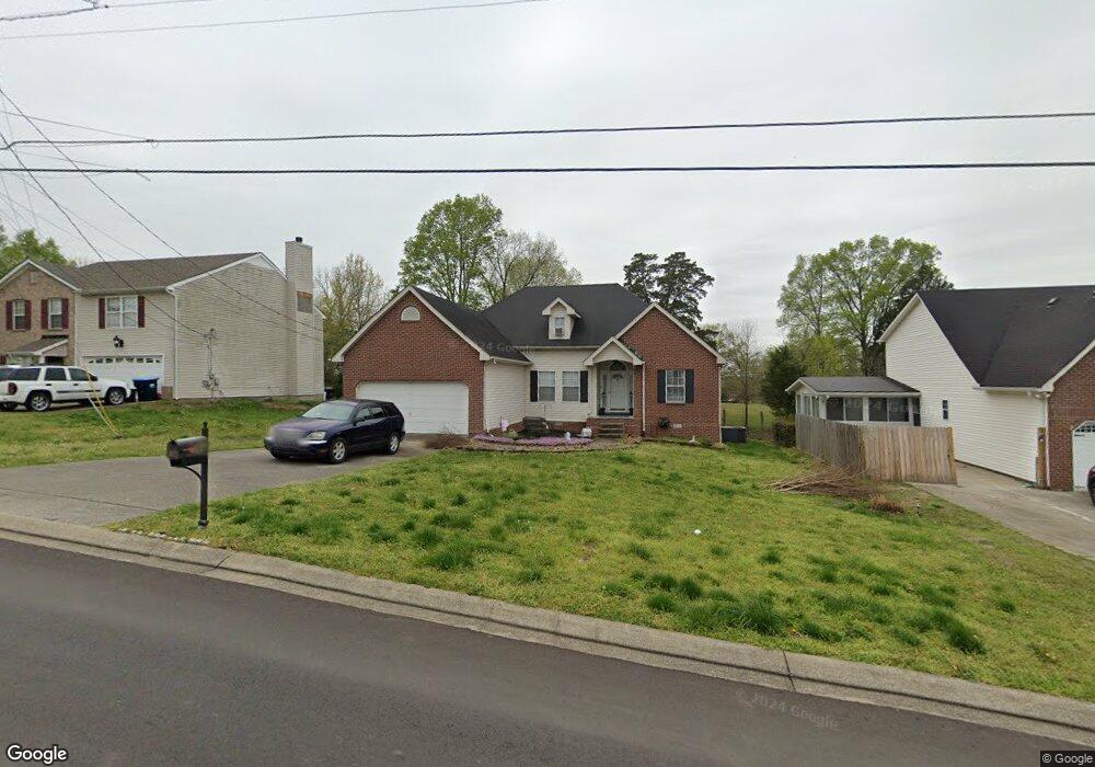
384 Davids Way La Vergne, TN 37086
Estimated Value: $318,126 - $365,000
--
Bed
3
Baths
1,518
Sq Ft
$232/Sq Ft
Est. Value
About This Home
This home is located at 384 Davids Way, La Vergne, TN 37086 and is currently estimated at $352,282, approximately $232 per square foot. 384 Davids Way is a home located in Rutherford County with nearby schools including LaVergne Lake Elementary School, La Vergne Middle School, and Lavergne High School.
Ownership History
Date
Name
Owned For
Owner Type
Purchase Details
Closed on
Nov 2, 2000
Sold by
R Butler Builders Lp
Bought by
Lampley Ronnie R and Lampley Debra A
Current Estimated Value
Home Financials for this Owner
Home Financials are based on the most recent Mortgage that was taken out on this home.
Original Mortgage
$141,207
Outstanding Balance
$52,218
Interest Rate
7.93%
Estimated Equity
$300,064
Create a Home Valuation Report for This Property
The Home Valuation Report is an in-depth analysis detailing your home's value as well as a comparison with similar homes in the area
Home Values in the Area
Average Home Value in this Area
Purchase History
| Date | Buyer | Sale Price | Title Company |
|---|---|---|---|
| Lampley Ronnie R | $142,500 | -- |
Source: Public Records
Mortgage History
| Date | Status | Borrower | Loan Amount |
|---|---|---|---|
| Open | Lampley Ronnie R | $141,207 |
Source: Public Records
Tax History Compared to Growth
Tax History
| Year | Tax Paid | Tax Assessment Tax Assessment Total Assessment is a certain percentage of the fair market value that is determined by local assessors to be the total taxable value of land and additions on the property. | Land | Improvement |
|---|---|---|---|---|
| 2025 | $1,672 | $69,300 | $13,750 | $55,550 |
| 2024 | $1,672 | $69,300 | $13,750 | $55,550 |
| 2023 | $1,344 | $71,625 | $13,750 | $57,875 |
| 2022 | $1,158 | $71,625 | $13,750 | $57,875 |
| 2021 | $1,139 | $51,300 | $10,000 | $41,300 |
| 2020 | $1,139 | $51,300 | $10,000 | $41,300 |
| 2019 | $1,139 | $51,300 | $10,000 | $41,300 |
| 2018 | $1,441 | $51,300 | $0 | $0 |
| 2017 | $1,124 | $30,975 | $0 | $0 |
| 2016 | $1,124 | $30,975 | $0 | $0 |
| 2015 | $1,132 | $30,975 | $0 | $0 |
| 2014 | $770 | $30,975 | $0 | $0 |
| 2013 | -- | $32,300 | $0 | $0 |
Source: Public Records
Map
Nearby Homes
- 607 Mable Dr
- 396 Davids Way
- 1610 Jo Ann Dr
- 1710 Chris Dr
- 1529 Waxman Dr
- 1813 Rory Cove
- 1626 Jo Ann Dr
- 800 Troy Cove
- 507 Jerald Smith Ln
- 544 Stones River Rd
- 303 Holland Ridge Dr
- 630 Holland Ridge Dr
- 166 Oasis Dr
- 164 Oasis Dr
- 160 Oasis Dr
- 154 Oasis Dr
- 618 Cedar Bend Ln
- 733 Hollandale Rd
- 101 Kalman Minuskin Blvd
- 699 Hollandale Rd
- 386 David's Way
- 382 Davids Way
- 386 Davids Way
- 380 Davids Way
- 388 Davids Way
- 387 Davids Way
- 1502 Waxman Dr
- 385 Davids Way
- 390 Davids Way
- 378 Davids Way
- 1501 Waxman Dr
- 1504 Waxman Dr
- 1603 Jo Ann Dr
- 376 Davids Way
- 392 Davids Way
- 383 Davids Way
- 1503 Waxman Dr
- 393 Davids Way
- 1506 Waxman Dr
- 1605 Jo Ann Dr