384 Manning Hill Rd Winchester, NH 03470
Estimated Value: $258,481 - $379,000
1
Bed
1
Bath
1,137
Sq Ft
$271/Sq Ft
Est. Value
About This Home
This home is located at 384 Manning Hill Rd, Winchester, NH 03470 and is currently estimated at $308,620, approximately $271 per square foot. 384 Manning Hill Rd is a home located in Cheshire County with nearby schools including Winchester School, Mayland Early College High School, and Keene High School.
Ownership History
Date
Name
Owned For
Owner Type
Purchase Details
Closed on
Oct 1, 1999
Sold by
Kovacs George P and Kovacs Marie A
Bought by
Tilley Cory
Current Estimated Value
Home Financials for this Owner
Home Financials are based on the most recent Mortgage that was taken out on this home.
Original Mortgage
$63,750
Interest Rate
7.85%
Create a Home Valuation Report for This Property
The Home Valuation Report is an in-depth analysis detailing your home's value as well as a comparison with similar homes in the area
Home Values in the Area
Average Home Value in this Area
Purchase History
| Date | Buyer | Sale Price | Title Company |
|---|---|---|---|
| Tilley Cory | $80,000 | -- |
Source: Public Records
Mortgage History
| Date | Status | Borrower | Loan Amount |
|---|---|---|---|
| Open | Tilley Cory | $98,000 | |
| Closed | Tilley Cory | $63,750 |
Source: Public Records
Tax History Compared to Growth
Tax History
| Year | Tax Paid | Tax Assessment Tax Assessment Total Assessment is a certain percentage of the fair market value that is determined by local assessors to be the total taxable value of land and additions on the property. | Land | Improvement |
|---|---|---|---|---|
| 2024 | $4,961 | $169,600 | $51,800 | $117,800 |
| 2023 | $5,373 | $169,600 | $51,800 | $117,800 |
| 2022 | $4,868 | $169,600 | $51,800 | $117,800 |
| 2021 | $5,392 | $169,600 | $51,800 | $117,800 |
| 2020 | $4,879 | $169,600 | $51,800 | $117,800 |
| 2019 | $763 | $143,600 | $37,800 | $105,800 |
| 2018 | $4,987 | $143,600 | $37,800 | $105,800 |
| 2016 | $4,485 | $146,900 | $38,000 | $108,900 |
| 2015 | $4,492 | $146,900 | $38,000 | $108,900 |
| 2014 | $4,257 | $139,200 | $38,000 | $101,200 |
| 2013 | $4,354 | $141,700 | $40,100 | $101,600 |
Source: Public Records
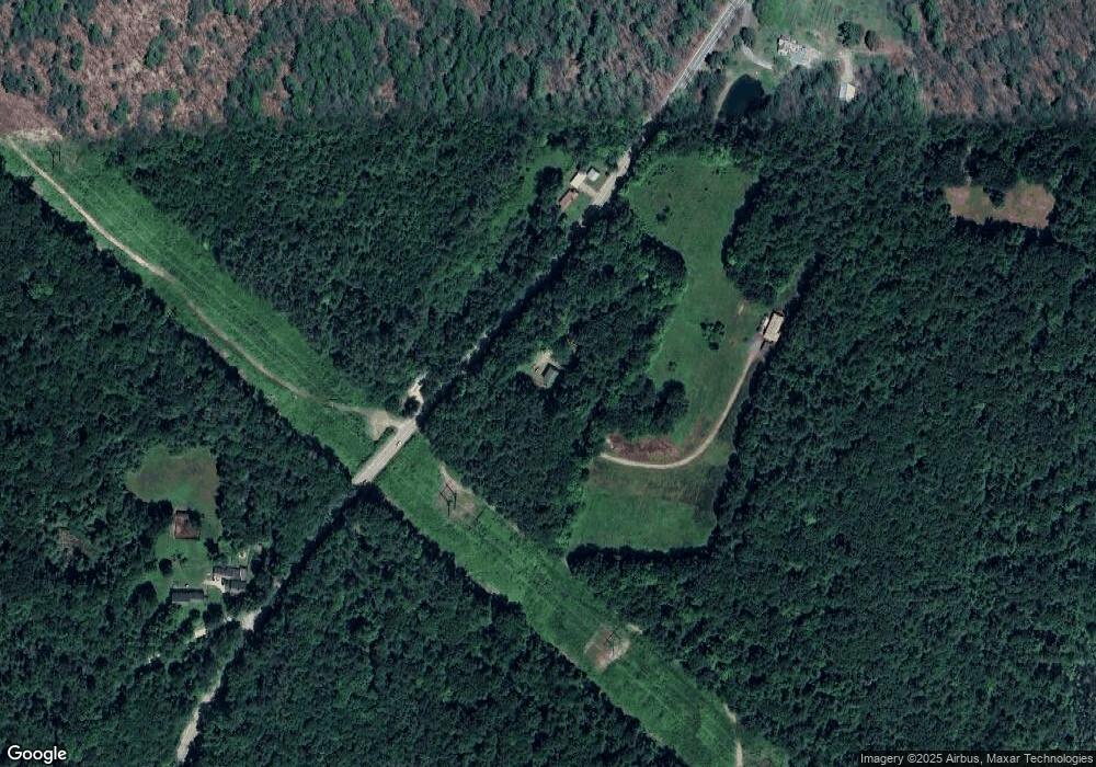
Map
Nearby Homes
- 0 Old Tipping Rock Rd Unit 34
- 339 Burt Hill Rd
- 111 Warwick Rd
- 153 Back Ashuelot Rd
- 19 Back Ashuelot Rd
- 56 Ashuelot St
- 50 Parker St
- 100 Main St
- 143 Richmond Rd
- Map 6 Lot 15-1 Off Opportunity Dr Unit 15-1
- Map 6 Lot 15-5 Off Opportunity Dr
- 49 Scotland Rd
- 9 Scotland Rd
- 9 Scotland Rd
- 406 Back Ashuelot Rd
- 14 Wood Way
- 12 Miner Ct
- 21 Clark Rd
- 82 Howard St
- 0, Lot 2 Flower Hill Rd
- 369 Manning Hill Rd
- 0 Manning Hill Rd
- 370 Manning Hill Rd
- 3 Old Manning Hill Rd
- 342 Manning Hill Rd
- 332 Manning Hill Rd
- 325 Manning Hill Rd
- 324 Manning Hill Rd
- 319 Manning Hill Rd
- 318 Manning Hill Rd
- 15 Curtis Rd
- 297 Manning Hill Rd
- 14 Curtis Rd
- 295 Manning Hill Rd
- 58 Old Manning Hill Rd
- 34 Curtis Rd
- 279 Manning Hill Rd
- 0 Curtis Rd Unit 5037134
- 0 Curtis Rd Unit 4892402
- 0 Curtis Rd