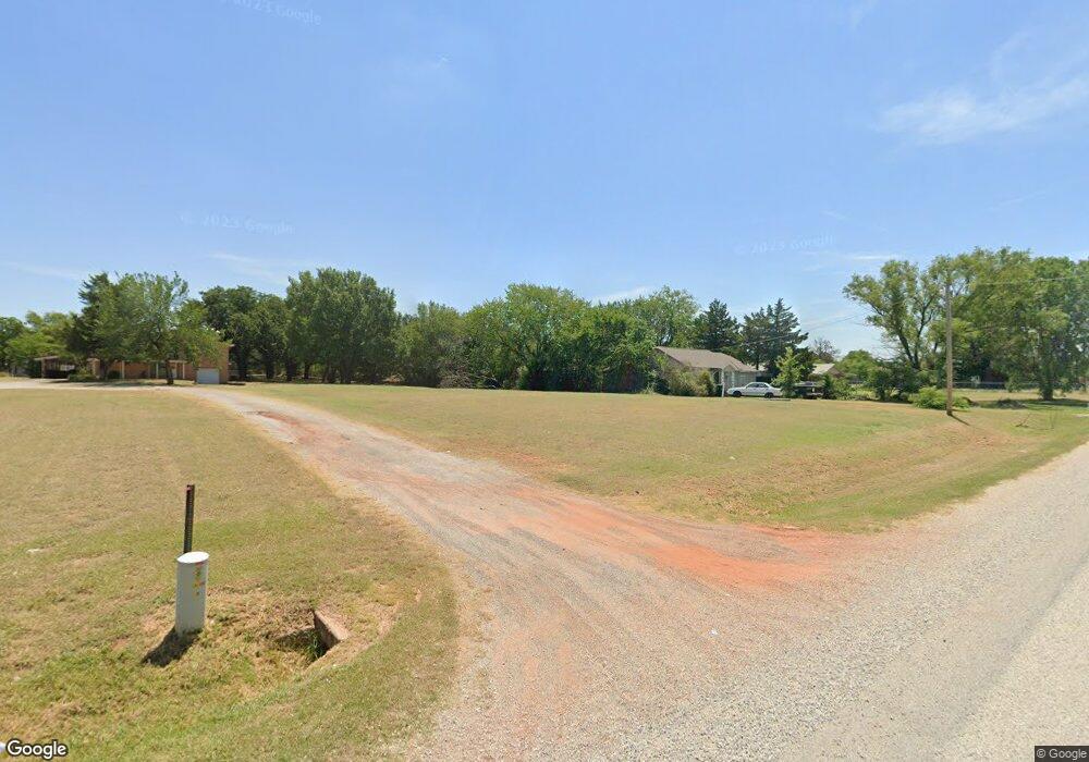
384 Rr 2 Comanche, OK 73529
Estimated Value: $44,164 - $117,000
3
Beds
1
Bath
1,115
Sq Ft
$72/Sq Ft
Est. Value
About This Home
This home is located at 384 Rr 2, Comanche, OK 73529 and is currently estimated at $79,791, approximately $71 per square foot. 384 Rr 2 is a home located in Stephens County with nearby schools including Comanche Elementary School, Comanche Middle School, and Comanche High School.
Ownership History
Date
Name
Owned For
Owner Type
Purchase Details
Closed on
Jul 19, 2022
Sold by
Ulibarri and Coni
Bought by
Scott Jason and Scott Jolena
Current Estimated Value
Purchase Details
Closed on
May 9, 2022
Sold by
Bradley Care
Bought by
Ulibarri Gene and Ulibarri Coni
Purchase Details
Closed on
Dec 10, 2020
Sold by
Bangos Kira
Bought by
Cave Braldye
Purchase Details
Closed on
Oct 9, 2020
Sold by
Neuhous Tanner John
Bought by
Cave Brad and Bangos Kira
Purchase Details
Closed on
Mar 22, 2012
Sold by
Federal National Mortgage
Bought by
Neuhaus Tanner J
Purchase Details
Closed on
Jan 30, 2012
Sold by
Deal Betty M
Bought by
Federal National Mortgage Association
Purchase Details
Closed on
Oct 11, 1994
Sold by
Waller Paul Ledford
Purchase Details
Closed on
Oct 14, 1992
Sold by
Ledford Lorean
Create a Home Valuation Report for This Property
The Home Valuation Report is an in-depth analysis detailing your home's value as well as a comparison with similar homes in the area
Purchase History
| Date | Buyer | Sale Price | Title Company |
|---|---|---|---|
| Scott Jason | $1,333,333 | Old Republic Title | |
| Ulibarri Gene | $7,500 | None Listed On Document | |
| Cave Braldye | -- | None Available | |
| Cave Brad | $5,000 | None Available | |
| Neuhaus Tanner J | $17,000 | -- | |
| Federal National Mortgage Association | -- | None Available | |
| -- | $25,000 | -- | |
| -- | -- | -- |
Source: Public Records
Tax History Compared to Growth
Tax History
| Year | Tax Paid | Tax Assessment Tax Assessment Total Assessment is a certain percentage of the fair market value that is determined by local assessors to be the total taxable value of land and additions on the property. | Land | Improvement |
|---|---|---|---|---|
| 2025 | $283 | $2,407 | $100 | $2,307 |
| 2024 | $283 | $3,126 | $100 | $3,026 |
| 2023 | $322 | $3,561 | $100 | $3,461 |
| 2022 | $386 | $5,575 | $100 | $5,475 |
| 2021 | $379 | $5,115 | $100 | $5,015 |
| 2020 | $235 | $2,567 | $100 | $2,467 |
| 2019 | $272 | $2,830 | $98 | $2,732 |
| 2018 | $258 | $2,830 | $99 | $2,731 |
| 2017 | $215 | $2,695 | $97 | $2,598 |
| 2016 | $205 | $2,445 | $94 | $2,351 |
| 2015 | $73 | $2,329 | $92 | $2,237 |
| 2014 | $73 | $2,329 | $92 | $2,237 |
Source: Public Records
Map
Nearby Homes
- 282096 Andrews Dr
- 177914 N 2770 Rd
- 325 W Terry Rd
- 280350 E 1780 Rd
- 281477 Doctor Pepper Rd
- 511 Wilson Ave
- 500 Wilson Ave
- 508 Wilson Ave
- 303 N 8th St
- 177074 Stephens Dr
- 000 Doctor Pepper Rd
- 0 Oklahoma 53
- 177025 N 2810 Rd
- 177611 N 2800 Rd
- 181473 N 2850 Rd
- 117 Seminole Dr
- 283133 E Hiway 53
- Rt Rt 2
- 176883 176883 N 2800 Rd
- 3889 Kensworth Dr
- 384 Rr 2
- 282150 Oliver Dr
- 282113 Oliver Dr
- 282150 Oliver Dr
- 282186 Oliver Dr
- 282187 Oliver Dr
- 179751 N 2820 Rd
- 179983 N 2820 Rd
- 179738 N 2820 Rd
- 282175 Croy Rd
- 282184 Croy Rd
- 282128 Croy Rd
- 282061 Oliver Dr
- 282037 Croy Rd
- 356 Rr 2
- 179913 Red Bud Ln
- 179768 Ledford Ln
- 179788 Ledford Ln
- 179756 Ledford Ln
- 179744 Ledford Ln
