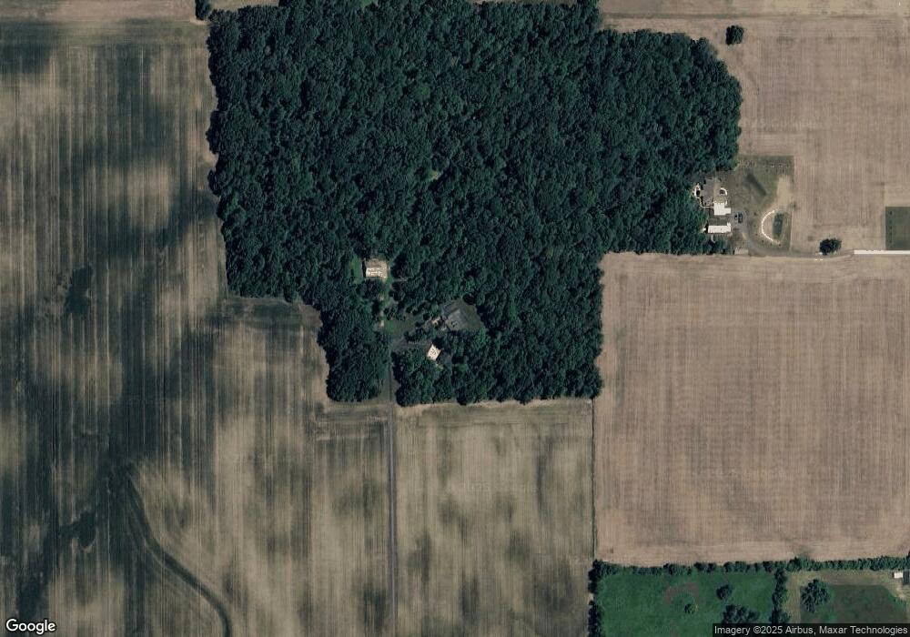
384 W 1100 N Fountaintown, IN 46130
Estimated Value: $403,000 - $660,030
4
Beds
2
Baths
3,360
Sq Ft
$144/Sq Ft
Est. Value
About This Home
This home is located at 384 W 1100 N, Fountaintown, IN 46130 and is currently estimated at $485,008, approximately $144 per square foot. 384 W 1100 N is a home located in Shelby County with nearby schools including Morristown Elementary School and Morristown Junior/Senior High School.
Ownership History
Date
Name
Owned For
Owner Type
Purchase Details
Closed on
Sep 2, 2010
Sold by
Hurd Kristina K
Bought by
Whittaker David G and Whittaker Angela J
Current Estimated Value
Home Financials for this Owner
Home Financials are based on the most recent Mortgage that was taken out on this home.
Original Mortgage
$272,000
Interest Rate
4.36%
Mortgage Type
Purchase Money Mortgage
Create a Home Valuation Report for This Property
The Home Valuation Report is an in-depth analysis detailing your home's value as well as a comparison with similar homes in the area
Home Values in the Area
Average Home Value in this Area
Purchase History
| Date | Buyer | Sale Price | Title Company |
|---|---|---|---|
| Whittaker David G | -- | -- |
Source: Public Records
Mortgage History
| Date | Status | Borrower | Loan Amount |
|---|---|---|---|
| Closed | Whittaker David G | $272,000 |
Source: Public Records
Tax History Compared to Growth
Tax History
| Year | Tax Paid | Tax Assessment Tax Assessment Total Assessment is a certain percentage of the fair market value that is determined by local assessors to be the total taxable value of land and additions on the property. | Land | Improvement |
|---|---|---|---|---|
| 2024 | $3,882 | $434,100 | $37,500 | $396,600 |
| 2023 | $4,002 | $424,000 | $34,300 | $389,700 |
| 2022 | $4,094 | $409,800 | $30,900 | $378,900 |
| 2021 | $3,961 | $397,900 | $29,200 | $368,700 |
| 2020 | $3,729 | $387,100 | $29,100 | $358,000 |
| 2019 | $4,815 | $345,900 | $31,100 | $314,800 |
| 2018 | $2,970 | $319,300 | $31,500 | $287,800 |
| 2017 | $2,875 | $318,800 | $33,500 | $285,300 |
| 2016 | $2,809 | $332,900 | $34,500 | $298,400 |
| 2014 | $2,127 | $283,200 | $34,000 | $249,200 |
| 2013 | $2,127 | $280,800 | $30,900 | $249,900 |
Source: Public Records
Map
Nearby Homes
- 11497 N State Road 9
- 10686 N Division Rd
- 83 E Walnut St
- 11131 N State Road 9
- 6 U S 52
- 5 U S 52
- 11600 N 100 E
- 256 E 1000 N
- 5555 S 200 E
- 661 W 500 S
- 1069 W Railroad St
- 5477 S Main St
- 5465 S Greenfield St
- 1546 E Osprey Dr
- 0 S 300 East- 2
- 1898 E 1000 N
- 11546 N Shelby 300 W
- 4500 S 50 W
- 1556 E 400 S
- 0 S 300 E
- 384 W 1100 N
- 11285 N Division Rd
- 11265 N Division Rd
- 11265 N Division Rd
- 11289 N Division Rd
- 11229 N Division Rd
- 245 W 1100 N
- 331 W 1100 N
- 11205 N Division Rd
- 11333 N Division Rd
- 11185 N Division Rd
- 208 W 1100 N
- 552 W 1100 N
- 11361 N Division Rd
- 11165 N Division Rd
- 168 W 1100 N
- 11161 N Division Rd
- 11393 N Division Rd
- 11393 N Division Rd
- 142 W 1100 N
