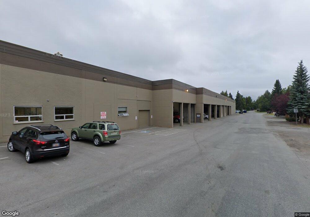
3840 Spenard Rd Anchorage, AK 99517
Spenard Neighborhood
Studio
--
Bath
49,517
Sq Ft
68,389
Sq Ft Lot
About This Home
This home is located at 3840 Spenard Rd, Anchorage, AK 99517. 3840 Spenard Rd is a home located in Anchorage Municipality with nearby schools including Northwood Elementary School, Romig Middle School, and West High School.
Ownership History
Date
Name
Owned For
Owner Type
Purchase Details
Closed on
Mar 22, 2023
Sold by
Nozone Properties Llc
Bought by
4 Webs Llc
Home Financials for this Owner
Home Financials are based on the most recent Mortgage that was taken out on this home.
Original Mortgage
$900,000
Interest Rate
6.73%
Mortgage Type
New Conventional
Purchase Details
Closed on
Mar 12, 2014
Sold by
Adco Properties Inc
Bought by
Nozone Properties Llc
Home Financials for this Owner
Home Financials are based on the most recent Mortgage that was taken out on this home.
Original Mortgage
$1,625,425
Interest Rate
4.18%
Mortgage Type
Commercial
Purchase Details
Closed on
Dec 31, 2001
Sold by
Alaska Distributors Co
Bought by
Adco Properties Inc
Create a Home Valuation Report for This Property
The Home Valuation Report is an in-depth analysis detailing your home's value as well as a comparison with similar homes in the area
Home Values in the Area
Average Home Value in this Area
Purchase History
| Date | Buyer | Sale Price | Title Company |
|---|---|---|---|
| 4 Webs Llc | -- | None Listed On Document | |
| Nozone Properties Llc | -- | Atga | |
| Adco Properties Inc | -- | First American Title |
Source: Public Records
Mortgage History
| Date | Status | Borrower | Loan Amount |
|---|---|---|---|
| Closed | 4 Webs Llc | $900,000 | |
| Open | 4 Webs Llc | $5,000,000 | |
| Previous Owner | Nozone Properties Llc | $1,625,425 |
Source: Public Records
Tax History
| Year | Tax Paid | Tax Assessment Tax Assessment Total Assessment is a certain percentage of the fair market value that is determined by local assessors to be the total taxable value of land and additions on the property. | Land | Improvement |
|---|---|---|---|---|
| 2025 | $77,073 | $4,985,700 | $817,300 | $4,168,400 |
| 2024 | $77,073 | $4,773,800 | $817,300 | $3,956,500 |
| 2023 | $82,068 | $4,553,400 | $785,600 | $3,767,800 |
| 2022 | $75,817 | $4,502,200 | $812,600 | $3,689,600 |
| 2021 | $82,049 | $4,553,200 | $796,600 | $3,756,600 |
| 2020 | $77,138 | $4,537,500 | $780,900 | $3,756,600 |
| 2019 | $74,287 | $4,540,800 | $765,400 | $3,775,400 |
| 2018 | $72,396 | $4,414,400 | $765,400 | $3,649,000 |
| 2017 | $67,974 | $4,340,600 | $765,400 | $3,575,200 |
| 2016 | $56,751 | $4,242,200 | $765,400 | $3,476,800 |
| 2015 | $56,751 | $4,106,500 | $765,400 | $3,341,100 |
| 2014 | $56,751 | $3,979,600 | $765,400 | $3,214,200 |
Source: Public Records
Map
Nearby Homes
- 3605 Oregon Dr Unit 4
- 3409 Oregon Dr
- 3406 Wyoming Dr
- 3507 Greenland Dr
- 3217 Oregon Dr
- 3409 Northwood Dr
- 3208 Oregon Dr
- 4000 Iowa Dr
- NHN Northwood Dr
- 5000 Northwood Dr
- 3901 Hayes St
- 000 Anchorage
- 4420 Van Buren St
- 3105 Willow St
- 4300 Hayes St
- 4306 Hayes St
- 1508 W 31st Ave
- 4106 Harrison St
- 2996 Lois Dr Unit 7
- 3929 Turnagain Blvd E Unit 7
- 0 Lois Dr
- 3990 Lois Dr
- L1 B6 Lois Dr
- 3705 Lois Dr
- 3703 Lois Dr
- 3836 Spenard Rd
- 3700 Lois Dr
- 3701 Lois Dr
- 3608 Lois Dr Unit 1
- 3608 Lois Dr Unit 4
- 3706 Oregon Dr
- 3609 Lois Dr
- 3707 Woodland Dr Unit 2
- 3707 Woodland Dr Unit 3&4
- 3707 Woodland Dr
- 3707 Woodland Dr Unit 4
- 3707 Woodland Dr Unit 1
- 3707 Woodland Dr Unit 3
- 3702 Oregon Dr
- 3801 Lois Dr
Your Personal Tour Guide
Ask me questions while you tour the home.