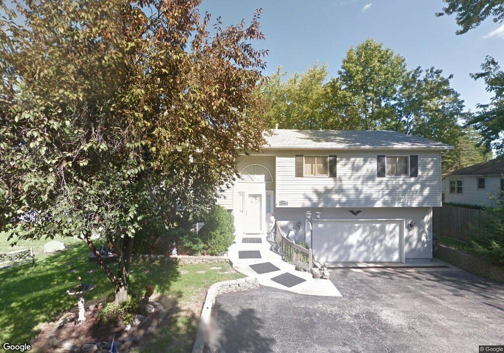
38419 N 9th St Spring Grove, IL 60081
Northeast Fox Lake NeighborhoodEstimated Value: $313,000 - $370,000
3
Beds
3
Baths
1,460
Sq Ft
$237/Sq Ft
Est. Value
About This Home
This home is located at 38419 N 9th St, Spring Grove, IL 60081 and is currently estimated at $346,145, approximately $237 per square foot. 38419 N 9th St is a home located in Lake County with nearby schools including Lotus Elementary School, Stanton Middle School, and Grant Community High School.
Ownership History
Date
Name
Owned For
Owner Type
Purchase Details
Closed on
Aug 20, 2021
Sold by
Pett Therese G
Bought by
Davis Joseph A
Current Estimated Value
Home Financials for this Owner
Home Financials are based on the most recent Mortgage that was taken out on this home.
Original Mortgage
$301,500
Outstanding Balance
$228,585
Interest Rate
2.1%
Mortgage Type
New Conventional
Estimated Equity
$117,560
Create a Home Valuation Report for This Property
The Home Valuation Report is an in-depth analysis detailing your home's value as well as a comparison with similar homes in the area
Home Values in the Area
Average Home Value in this Area
Purchase History
| Date | Buyer | Sale Price | Title Company |
|---|---|---|---|
| Davis Joseph A | $335,000 | Chicago Title |
Source: Public Records
Mortgage History
| Date | Status | Borrower | Loan Amount |
|---|---|---|---|
| Open | Davis Joseph A | $301,500 |
Source: Public Records
Tax History
| Year | Tax Paid | Tax Assessment Tax Assessment Total Assessment is a certain percentage of the fair market value that is determined by local assessors to be the total taxable value of land and additions on the property. | Land | Improvement |
|---|---|---|---|---|
| 2024 | $7,637 | $115,446 | $11,483 | $103,963 |
| 2023 | $7,570 | $103,372 | $10,282 | $93,090 |
| 2022 | $7,570 | $97,345 | $10,172 | $87,173 |
| 2021 | $6,597 | $90,832 | $9,491 | $81,341 |
| 2020 | $6,680 | $88,324 | $9,229 | $79,095 |
| 2019 | $6,651 | $88,759 | $8,826 | $79,933 |
| 2018 | $5,366 | $72,602 | $8,973 | $63,629 |
| 2017 | $5,294 | $69,105 | $8,541 | $60,564 |
| 2016 | $5,626 | $66,691 | $8,243 | $58,448 |
| 2015 | $5,654 | $78,459 | $8,033 | $70,426 |
| 2014 | $7,070 | $81,260 | $9,982 | $71,278 |
| 2012 | $7,154 | $85,011 | $9,982 | $75,029 |
Source: Public Records
Map
Nearby Homes
- 38480 N 6th Ave
- 38323 N 3rd Ave
- 27849 W Lake Shore Dr
- 38227 N 3rd Ave
- 27580 W Stonegate Dr
- 28624 W Kendall Ave
- 7215 Viscaya Dr
- 7205 Hastings Cir Unit 330
- 8300 Reva Bay Ln Unit SLIP4
- 8300 Reva Bay Ln Unit SLIP5
- 55 Vail Colony Unit 6
- 13 Saint Thomas Colony Unit 7
- 63 Aspen Colony Unit 8
- 40 Bermuda Colony Unit 7
- 16 Saint Thomas Colony Unit 6
- 27726 Hill Dr
- 38265 N State Park Rd
- 39175 NW End Dr
- Lots 8 & 9 W Ravine Dr
- Lots 11 & 12 W Ravine Dr
- 38409 N 9th St
- 38431 N 9th St
- 38387 N 9th St
- 38442 N 9th St
- 38424 N 9th St
- 38410 N 9th St
- 38397 N 9th St
- 38463 N 9th St
- 38374 N 9th St
- 38371 N 9th St
- 38466 N 9th St
- 38473 N 9th St
- 38481 N 9th St
- 38475 N 10th Ave
- 28210 W Stewart Ave
- 28241 W Greenwood Ave
- 38350 N 9th St
- 38432 N 10th Ave
- 38420 N 10th Ave
- 38435 N 11th St