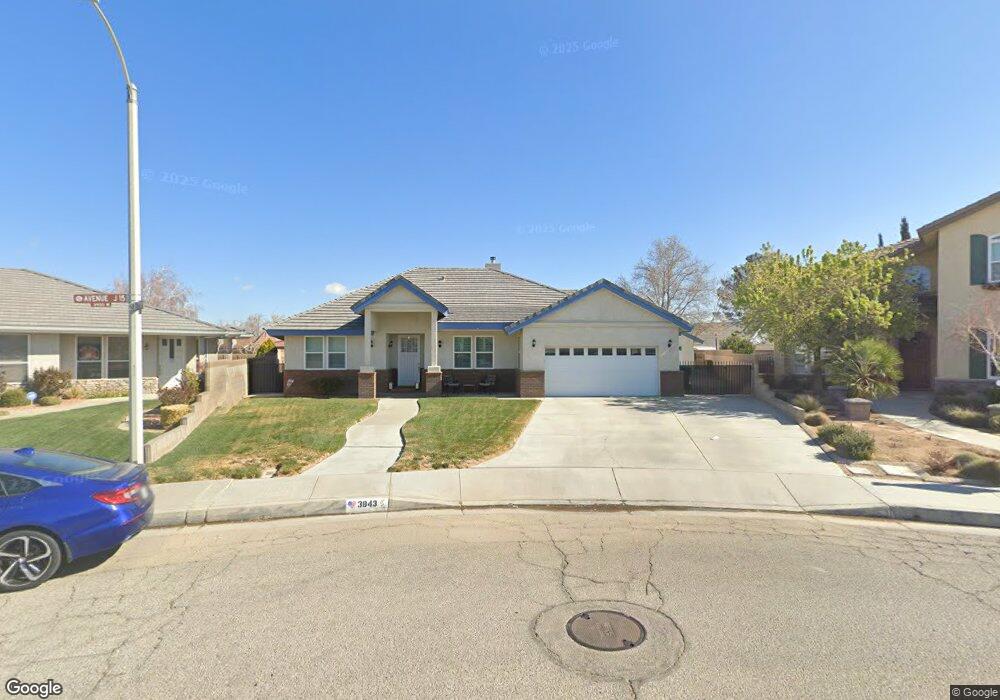
3843 W Avenue j15 Lancaster, CA 93536
West Lancaster NeighborhoodEstimated Value: $603,000 - $641,000
4
Beds
3
Baths
2,696
Sq Ft
$233/Sq Ft
Est. Value
About This Home
This home is located at 3843 W Avenue j15, Lancaster, CA 93536 and is currently estimated at $627,501, approximately $232 per square foot. 3843 W Avenue j15 is a home located in Los Angeles County with nearby schools including West Wind Elementary School, Amargosa Creek Middle School, and Lancaster High School.
Ownership History
Date
Name
Owned For
Owner Type
Purchase Details
Closed on
Apr 9, 2013
Sold by
Swords Jacquelyn M
Bought by
Swords Jacquelyn M
Current Estimated Value
Home Financials for this Owner
Home Financials are based on the most recent Mortgage that was taken out on this home.
Original Mortgage
$199,600
Outstanding Balance
$92,259
Interest Rate
3.47%
Mortgage Type
New Conventional
Estimated Equity
$535,242
Purchase Details
Closed on
Aug 14, 1998
Sold by
Arrache Ronald Construction Co Inc
Bought by
Swords Bryan K and Swords Jacquelyn M
Home Financials for this Owner
Home Financials are based on the most recent Mortgage that was taken out on this home.
Original Mortgage
$240,000
Interest Rate
6.82%
Create a Home Valuation Report for This Property
The Home Valuation Report is an in-depth analysis detailing your home's value as well as a comparison with similar homes in the area
Home Values in the Area
Average Home Value in this Area
Purchase History
| Date | Buyer | Sale Price | Title Company |
|---|---|---|---|
| Swords Jacquelyn M | -- | First American Title | |
| Swords Bryan K | $300,800 | Chicago Title Co |
Source: Public Records
Mortgage History
| Date | Status | Borrower | Loan Amount |
|---|---|---|---|
| Open | Swords Jacquelyn M | $199,600 | |
| Previous Owner | Swords Bryan K | $240,000 |
Source: Public Records
Tax History Compared to Growth
Tax History
| Year | Tax Paid | Tax Assessment Tax Assessment Total Assessment is a certain percentage of the fair market value that is determined by local assessors to be the total taxable value of land and additions on the property. | Land | Improvement |
|---|---|---|---|---|
| 2025 | $6,979 | $470,294 | $54,857 | $415,437 |
| 2024 | $6,979 | $461,074 | $53,782 | $407,292 |
| 2023 | $6,936 | $452,034 | $52,728 | $399,306 |
| 2022 | $6,676 | $443,172 | $51,695 | $391,477 |
| 2021 | $6,236 | $434,483 | $50,682 | $383,801 |
| 2019 | $6,047 | $421,598 | $49,180 | $372,418 |
| 2018 | $5,938 | $413,332 | $48,216 | $365,116 |
| 2016 | $5,121 | $356,000 | $41,500 | $314,500 |
| 2015 | $4,739 | $324,000 | $37,800 | $286,200 |
| 2014 | $4,406 | $294,000 | $34,300 | $259,700 |
Source: Public Records
Map
Nearby Homes
- 44014 42nd St W
- 4061 Avenue j7
- 0 Cor Avenue K4 and 42nd Stw Unit 25004028
- 43890 Moccasin Place
- 43929 44th St W
- 44149 Westridge Dr
- 43939 Moccasin Place
- 43920 33rd St W
- 44124 Wellesley Ct
- 4011 Dee Ct
- 1 44th St
- 43705 46th St W
- 43840 Bobby Jones Dr Unit 1
- 43840 Bobby Jones Dr
- 3626 W Avenue j2
- 44273 Palo Verde St
- 43324 45th St W
- 3253 W Avenue k4
- 43521 Blossom Dr
- 44303 36th St W
- 43654 Colony Dr
- 43700 Colony Dr
- 3851 W Avenue j15
- 43707 Countryside Dr
- 43659 Countryside Dr
- 43715 Countryside Dr
- 43648 Colony Dr
- 43708 Colony Dr
- 43653 Countryside Dr
- 3859 W Avenue j15
- 43701 Colony Dr
- 43649 Colony Dr
- 43645 Countryside Dr
- 43640 Colony Dr
- 43711 Colony Dr
- 3842 W Avenue j13
- 43643 Colony Dr
- 3834 W Avenue j13
- 43702 Countryside Dr