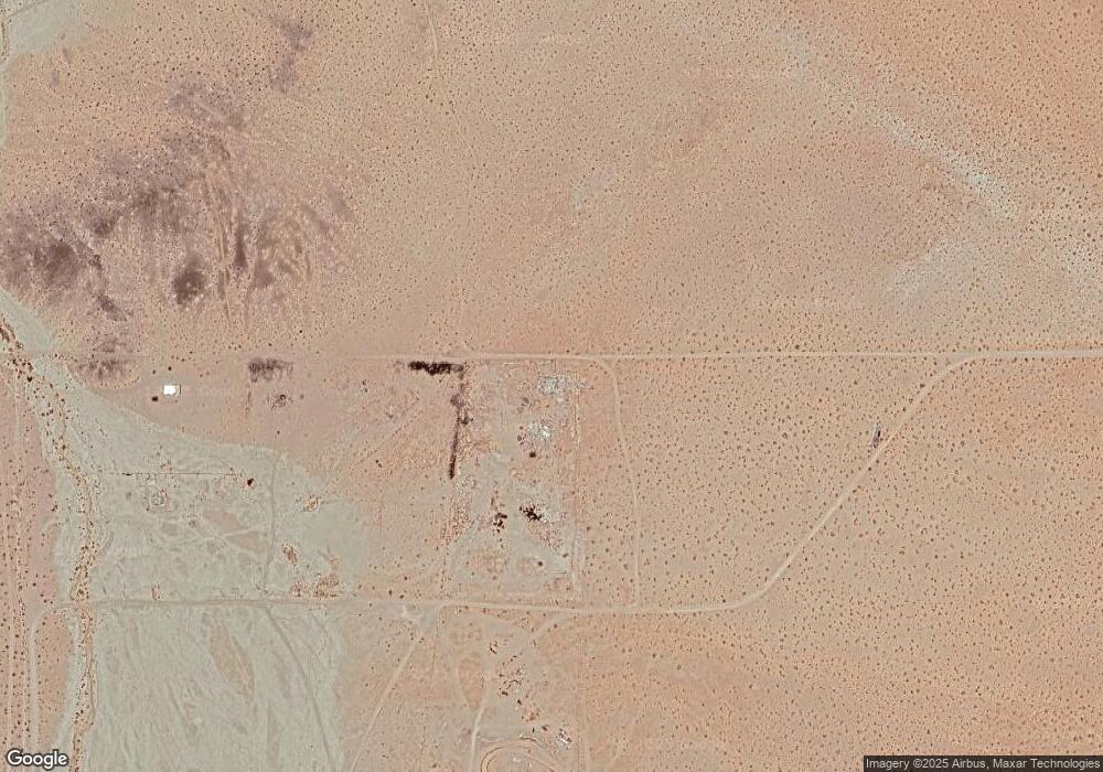
38435 Sunland Rd Unit 2 Hinkley, CA 92347
Estimated Value: $141,657
3
Beds
2
Baths
--
Sq Ft
5
Acres
About This Home
This home is located at 38435 Sunland Rd Unit 2, Hinkley, CA 92347 and is currently estimated at $141,657. 38435 Sunland Rd Unit 2 is a home located in San Bernardino County with nearby schools including Lenwood Elementary School, Barstow Junior High School, and Barstow High School.
Ownership History
Date
Name
Owned For
Owner Type
Purchase Details
Closed on
Sep 9, 2016
Sold by
Mark Jeff
Bought by
Strain Ted
Current Estimated Value
Purchase Details
Closed on
Oct 16, 2009
Sold by
Figueroa Ruben G
Bought by
Mark Jeff
Home Financials for this Owner
Home Financials are based on the most recent Mortgage that was taken out on this home.
Original Mortgage
$22,000
Interest Rate
5.02%
Mortgage Type
Seller Take Back
Purchase Details
Closed on
Aug 6, 2008
Sold by
Andrade Stephanie
Bought by
Figueroa Ruben G
Purchase Details
Closed on
Jun 8, 2005
Sold by
Andrade Mercedes Olga
Bought by
Andrade Stephanie
Create a Home Valuation Report for This Property
The Home Valuation Report is an in-depth analysis detailing your home's value as well as a comparison with similar homes in the area
Home Values in the Area
Average Home Value in this Area
Purchase History
| Date | Buyer | Sale Price | Title Company |
|---|---|---|---|
| Strain Ted | $8,300 | None Available | |
| Mark Jeff | $40,000 | Fidelity National Title | |
| Figueroa Ruben G | $28,000 | None Available | |
| Andrade Stephanie | -- | -- |
Source: Public Records
Mortgage History
| Date | Status | Borrower | Loan Amount |
|---|---|---|---|
| Previous Owner | Mark Jeff | $22,000 |
Source: Public Records
Tax History Compared to Growth
Tax History
| Year | Tax Paid | Tax Assessment Tax Assessment Total Assessment is a certain percentage of the fair market value that is determined by local assessors to be the total taxable value of land and additions on the property. | Land | Improvement |
|---|---|---|---|---|
| 2025 | $296 | $9,633 | $9,633 | -- |
| 2024 | $296 | $9,444 | $9,444 | -- |
| 2023 | $288 | $9,259 | $9,259 | $0 |
| 2022 | $283 | $9,077 | $9,077 | $0 |
| 2021 | $274 | $8,899 | $8,899 | $0 |
| 2020 | $270 | $8,808 | $8,808 | $0 |
| 2019 | $265 | $8,635 | $8,635 | $0 |
| 2018 | $112 | $8,466 | $8,466 | $0 |
| 2017 | $105 | $8,300 | $8,300 | $0 |
| 2016 | $565 | $45,797 | $14,176 | $31,621 |
| 2015 | $554 | $45,109 | $13,963 | $31,146 |
| 2014 | $553 | $44,225 | $13,689 | $30,536 |
Source: Public Records
Map
Nearby Homes
- 0 Near Burn Ranch Rd Unit HD25131158
- 0 Burn Ranch Rd
- 0 Burn Ranch Rd
- 0 Lenwood Rd Unit CV25224984
- 0 Lenwood Rd Unit ML82016833
- 0 Lenwood Rd Unit 25004976
- 0 Lenwood Rd Unit SR25144491
- 0 Osborne Rd
- 26362 Community Blvd
- 58 Barstow-Bakersfield Hwy
- 24811 Community Blvd
- 0 Rd Unit HD25245753
- 25249 Tower
- 0 Windy Pass & K St Unit HD25241686
- 28320 Dale Evans
- 0 W of Slash X Ranch Rd Unit HD25200461
- 0 Off Hwy 247 Unit HD25184042
- 0 Unit HD25180056
- 0 Vacant Land Power Line Rd Unit HD25175205
- 0 Apn #0428-112-29-0000 St Unit HD25134335
