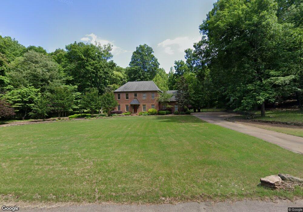
3846 Saint Philip Dr Memphis, TN 38133
Estimated Value: $518,411 - $590,000
5
Beds
4
Baths
3,816
Sq Ft
$142/Sq Ft
Est. Value
About This Home
This home is located at 3846 Saint Philip Dr, Memphis, TN 38133 and is currently estimated at $543,353, approximately $142 per square foot. 3846 Saint Philip Dr is a home located in Shelby County with nearby schools including Bon Lin Elementary School, Bon Lin Middle School, and Bartlett High School.
Ownership History
Date
Name
Owned For
Owner Type
Purchase Details
Closed on
May 9, 2002
Sold by
Scott Jeffrey J and Scott Teresa J
Bought by
Schwab Karl J and Schwab Sadonna L
Current Estimated Value
Home Financials for this Owner
Home Financials are based on the most recent Mortgage that was taken out on this home.
Original Mortgage
$275,500
Outstanding Balance
$116,742
Interest Rate
6.98%
Estimated Equity
$426,611
Create a Home Valuation Report for This Property
The Home Valuation Report is an in-depth analysis detailing your home's value as well as a comparison with similar homes in the area
Home Values in the Area
Average Home Value in this Area
Purchase History
| Date | Buyer | Sale Price | Title Company |
|---|---|---|---|
| Schwab Karl J | $290,000 | -- |
Source: Public Records
Mortgage History
| Date | Status | Borrower | Loan Amount |
|---|---|---|---|
| Open | Schwab Karl J | $275,500 |
Source: Public Records
Tax History Compared to Growth
Tax History
| Year | Tax Paid | Tax Assessment Tax Assessment Total Assessment is a certain percentage of the fair market value that is determined by local assessors to be the total taxable value of land and additions on the property. | Land | Improvement |
|---|---|---|---|---|
| 2025 | $3,092 | $117,025 | $27,375 | $89,650 |
| 2024 | $3,092 | $91,200 | $17,775 | $73,425 |
| 2023 | $4,669 | $91,200 | $17,775 | $73,425 |
| 2022 | $4,669 | $91,200 | $17,775 | $73,425 |
| 2021 | $4,742 | $91,200 | $17,775 | $73,425 |
| 2020 | $4,419 | $75,150 | $17,775 | $57,375 |
| 2019 | $4,419 | $75,150 | $17,775 | $57,375 |
| 2018 | $4,419 | $75,150 | $17,775 | $57,375 |
| 2017 | $3,089 | $75,150 | $17,775 | $57,375 |
| 2016 | $3,111 | $71,200 | $0 | $0 |
| 2014 | $3,111 | $71,200 | $0 | $0 |
Source: Public Records
Map
Nearby Homes
- 9280 Ellen Davies Dr
- 9245 Ellen Davies Dr
- 9390 Zachariah Cove
- 4041 Hadley Dr
- 3825 Planters View Rd
- 3837 Canada Rd
- 3989 Canada Rd
- 9479 Owl Hill Dr
- 9202 Davies Plantation Rd
- 0 Canada Rd Unit 10202529
- 0 N Canada Rd Unit 10193240
- 3977 Canada Rd
- 9354 Laurel Hill Dr
- 9374 Laurel Hill Dr
- 8975 Memphis Arlington Rd
- 9606 Blue Spruce Dr
- 4071 Cedar Point Rd
- 4271 Bay Bridge Rd
- 4244 Swan Hill Dr
- 9667 Pine Point Dr
- 3830 Saint Philip Dr
- 3860 Saint Philip Dr
- 3819 Buckley Cove
- 3845 Saint Philip Dr
- 3816 Saint Philip Dr
- 3809 Buckley Cove
- 3880 Saint Philip Dr
- 3875 Saint Philip Dr
- 3825 St Philip
- 3825 Saint Philip Dr
- 3835 Buckley Cove
- 3806 Saint Philip Dr
- 3806 St Phillip Dr
- 9240 Ellen Davies Dr
- 3896 Saint Philip Dr
- 3815 Saint Philip Dr
- 3896 St Philip Dr
- 3899 Saint Philip Dr
- 9230 Ellen Davies Dr
- 9157 Gillie Cove