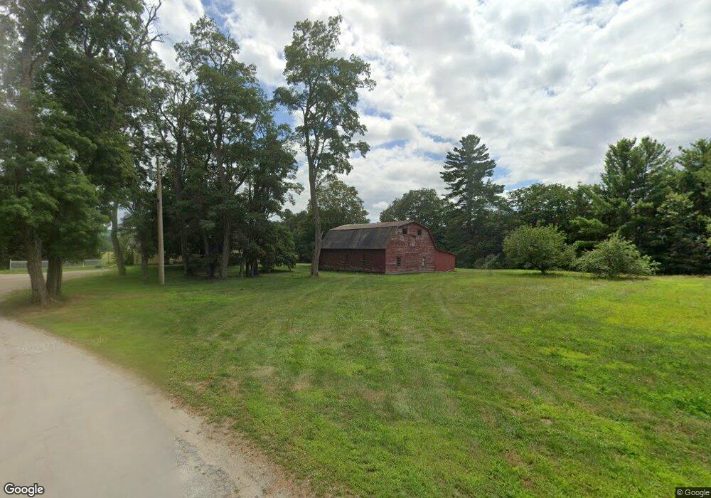
385 Burnham Intervale Rd Contoocook, NH 03229
Estimated Value: $476,000 - $498,000
4
Beds
1
Bath
2,219
Sq Ft
$221/Sq Ft
Est. Value
About This Home
This home is located at 385 Burnham Intervale Rd, Contoocook, NH 03229 and is currently estimated at $491,278, approximately $221 per square foot. 385 Burnham Intervale Rd is a home located in Merrimack County with nearby schools including Harold Martin School, Hopkinton Middle School, and The Contoocook School.
Ownership History
Date
Name
Owned For
Owner Type
Purchase Details
Closed on
Mar 30, 2020
Sold by
Bates Ginny H and Heino Sandra L
Bought by
Fortier Johnathan J and Fortier Sonja A
Current Estimated Value
Home Financials for this Owner
Home Financials are based on the most recent Mortgage that was taken out on this home.
Original Mortgage
$225,000
Outstanding Balance
$198,944
Interest Rate
3.3%
Mortgage Type
New Conventional
Estimated Equity
$292,334
Create a Home Valuation Report for This Property
The Home Valuation Report is an in-depth analysis detailing your home's value as well as a comparison with similar homes in the area
Home Values in the Area
Average Home Value in this Area
Purchase History
| Date | Buyer | Sale Price | Title Company |
|---|---|---|---|
| Fortier Johnathan J | $250,000 | None Available |
Source: Public Records
Mortgage History
| Date | Status | Borrower | Loan Amount |
|---|---|---|---|
| Open | Fortier Johnathan J | $225,000 |
Source: Public Records
Tax History Compared to Growth
Tax History
| Year | Tax Paid | Tax Assessment Tax Assessment Total Assessment is a certain percentage of the fair market value that is determined by local assessors to be the total taxable value of land and additions on the property. | Land | Improvement |
|---|---|---|---|---|
| 2024 | $9,469 | $409,400 | $161,400 | $248,000 |
| 2023 | $9,499 | $258,700 | $111,000 | $147,700 |
| 2022 | $8,760 | $258,700 | $111,000 | $147,700 |
| 2020 | $7,377 | $238,900 | $111,000 | $127,900 |
| 2019 | $7,044 | $229,000 | $111,000 | $118,000 |
| 2018 | $8,326 | $226,000 | $81,000 | $145,000 |
| 2017 | $8,229 | $226,000 | $81,000 | $145,000 |
| 2016 | $7,582 | $226,000 | $81,000 | $145,000 |
| 2015 | $7,595 | $225,900 | $81,000 | $144,900 |
| 2014 | $7,355 | $225,900 | $81,000 | $144,900 |
| 2013 | $6,642 | $231,100 | $104,300 | $126,800 |
Source: Public Records
Map
Nearby Homes
- 455 Maple St
- 108 Maple St
- 93-1 Pine St
- 0 Pine St Unit 38 5061613
- 0 Pine St Unit 50 5060731
- 38 Woodwells Garrison Rd
- 0 Bound Tree Rd Unit 50 5060705
- 105 Clement Hill Rd
- 656 Dolly Rd
- 1036 Bound Tree Rd
- 2 Granite Valley
- 430 Highland Dr
- 89 Old Henniker Rd
- 20 Duston Dr
- 256 Irish Hill Rd
- 464 Irish Hill Rd
- 541 South Rd
- 356 E Penacook Rd
- 0 Old Concord Rd Unit 551-A 5014211
- 155 Pamela Dr
- 371 Burnham Intervale Rd
- 292 Burnham Intervale Rd
- 237 Burnham Intervale Rd
- 220 Burnham Intervale Rd
- 191 Burnham Intervale Rd
- 384 Burnham Intervale Rd
- 180 Burnham Intervale Rd
- 169 Burnham Intervale Rd
- 121 Burnham Intervale Rd
- 88 Burnham Intervale Rd
- 67 Burnham Intervale Rd
- 58 Burnham Intervale Rd
- 447 Pine St
- 465 Pine St
- 361 Pine St
- 425 Pine St
- 477 Pine St
- 151 Carriage Ln
- 499 Pine St