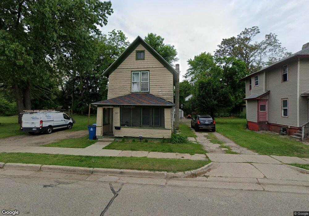
385 Burnham St E Battle Creek, MI 49014
Post Franklin NeighborhoodEstimated Value: $74,000 - $100,000
4
Beds
1
Bath
1,246
Sq Ft
$72/Sq Ft
Est. Value
About This Home
This home is located at 385 Burnham St E, Battle Creek, MI 49014 and is currently estimated at $89,843, approximately $72 per square foot. 385 Burnham St E is a home located in Calhoun County with nearby schools including Post-Franklin Elementary School, Springfield Middle School, and Battle Creek Central High School.
Ownership History
Date
Name
Owned For
Owner Type
Purchase Details
Closed on
Sep 28, 2006
Sold by
Barroso Salvador L and Barroso Santiago A
Bought by
Garcia Oralia
Current Estimated Value
Home Financials for this Owner
Home Financials are based on the most recent Mortgage that was taken out on this home.
Original Mortgage
$39,200
Interest Rate
6.55%
Mortgage Type
New Conventional
Create a Home Valuation Report for This Property
The Home Valuation Report is an in-depth analysis detailing your home's value as well as a comparison with similar homes in the area
Home Values in the Area
Average Home Value in this Area
Purchase History
| Date | Buyer | Sale Price | Title Company |
|---|---|---|---|
| Garcia Oralia | -- | Nations Title |
Source: Public Records
Mortgage History
| Date | Status | Borrower | Loan Amount |
|---|---|---|---|
| Closed | Garcia Oralia | $39,200 |
Source: Public Records
Tax History Compared to Growth
Tax History
| Year | Tax Paid | Tax Assessment Tax Assessment Total Assessment is a certain percentage of the fair market value that is determined by local assessors to be the total taxable value of land and additions on the property. | Land | Improvement |
|---|---|---|---|---|
| 2025 | -- | $25,400 | $0 | $0 |
| 2024 | $279 | $21,523 | $0 | $0 |
| 2023 | $319 | $19,608 | $0 | $0 |
| 2022 | $252 | $16,370 | $0 | $0 |
| 2021 | $301 | $15,025 | $0 | $0 |
| 2020 | $298 | $14,869 | $0 | $0 |
| 2019 | $282 | $11,107 | $0 | $0 |
| 2018 | $282 | $9,482 | $429 | $9,053 |
| 2017 | $274 | $13,297 | $0 | $0 |
| 2016 | $273 | $12,572 | $0 | $0 |
| 2015 | $268 | $14,056 | $1,801 | $12,255 |
| 2014 | $268 | $10,545 | $1,801 | $8,744 |
Source: Public Records
Map
Nearby Homes
- 76 Taft St
- 66 Cleveland St
- 50 Douglas St
- 418 Main St
- 47 Alden Ave W
- 17 Tennyson Ave
- 503 S Shore Dr
- 130 Cliff St
- 519 S Shore Dr
- 390 E Michigan Ave
- 100 Illinois St
- 96 Battle Creek Ave
- 136 Jericho Rd
- 57 Boulder St
- 1 Grand Blvd
- 77 Leitch Dr
- 501 Michigan Ave E
- 507 Michigan Ave E
- 180 Grenville St
- 174 Cherry St
- 395 Burnham St E
- 384 Burnham St E
- 21 South Place
- 15 South Place
- 7 South Place
- 236 South Ave
- 374 Burnham St E
- 232 South Ave
- 367 Burnham St E
- 238 South Ave
- 224 South Ave
- 29 Pico Place
- 20 South Place
- 22 South Place
- 16 South Place
- 12 South Place
- 33 Pico Place
- 235 South Ave
- 216 South Ave
- 402 E Burnham St