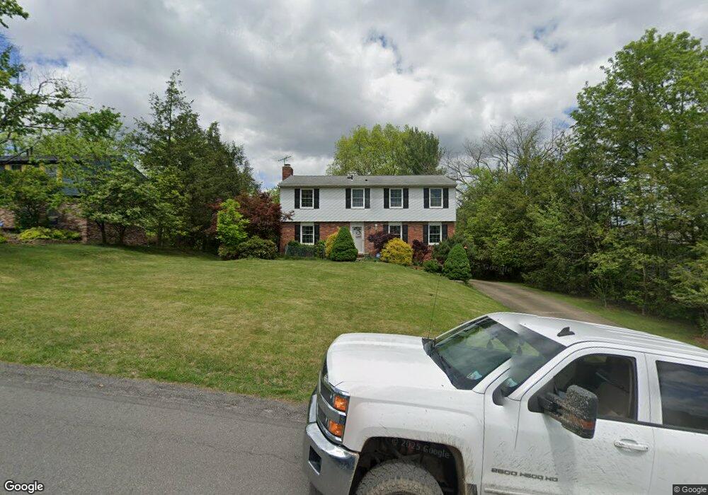
385 Lorlita Ln Pittsburgh, PA 15241
Estimated Value: $412,304 - $463,000
4
Beds
3
Baths
2,000
Sq Ft
$220/Sq Ft
Est. Value
About This Home
This home is located at 385 Lorlita Ln, Pittsburgh, PA 15241 and is currently estimated at $439,826, approximately $219 per square foot. 385 Lorlita Ln is a home located in Allegheny County with nearby schools including Upper St. Clair High School, St. Louise De Marillac School, and Cornerstone Christian Preparatory Academy Wilson Campus.
Ownership History
Date
Name
Owned For
Owner Type
Purchase Details
Closed on
Feb 2, 2010
Sold by
Pavithra Amali and Richard Allen
Bought by
Nandi Sudip and Nandi Tanusri
Current Estimated Value
Home Financials for this Owner
Home Financials are based on the most recent Mortgage that was taken out on this home.
Original Mortgage
$236,811
Interest Rate
5.03%
Mortgage Type
FHA
Purchase Details
Closed on
Aug 16, 2005
Sold by
Lint Dennis M
Bought by
Richard Allen
Home Financials for this Owner
Home Financials are based on the most recent Mortgage that was taken out on this home.
Original Mortgage
$184,000
Interest Rate
5.54%
Mortgage Type
New Conventional
Purchase Details
Closed on
Nov 17, 2000
Sold by
Burner Burner G and Burner Jean E
Bought by
Paul Leslie M
Create a Home Valuation Report for This Property
The Home Valuation Report is an in-depth analysis detailing your home's value as well as a comparison with similar homes in the area
Home Values in the Area
Average Home Value in this Area
Purchase History
| Date | Buyer | Sale Price | Title Company |
|---|---|---|---|
| Nandi Sudip | $240,000 | -- | |
| Richard Allen | $230,000 | -- | |
| Paul Leslie M | $184,000 | -- |
Source: Public Records
Mortgage History
| Date | Status | Borrower | Loan Amount |
|---|---|---|---|
| Previous Owner | Nandi Sudip | $236,811 | |
| Previous Owner | Richard Allen | $184,000 |
Source: Public Records
Tax History Compared to Growth
Tax History
| Year | Tax Paid | Tax Assessment Tax Assessment Total Assessment is a certain percentage of the fair market value that is determined by local assessors to be the total taxable value of land and additions on the property. | Land | Improvement |
|---|---|---|---|---|
| 2025 | $7,245 | $189,700 | $55,500 | $134,200 |
| 2024 | $7,245 | $189,700 | $55,500 | $134,200 |
| 2023 | $7,042 | $189,700 | $55,500 | $134,200 |
| 2022 | $6,874 | $189,700 | $55,500 | $134,200 |
| 2021 | $1,624 | $189,700 | $55,500 | $134,200 |
| 2020 | $6,628 | $189,700 | $55,500 | $134,200 |
| 2019 | $6,530 | $189,700 | $55,500 | $134,200 |
| 2018 | $897 | $189,700 | $55,500 | $134,200 |
| 2017 | $6,240 | $189,700 | $55,500 | $134,200 |
| 2016 | $897 | $189,700 | $55,500 | $134,200 |
| 2015 | $897 | $189,700 | $55,500 | $134,200 |
| 2014 | $5,835 | $189,700 | $55,500 | $134,200 |
Source: Public Records
Map
Nearby Homes
- 476 Oaklawn Dr
- 304 Alamo Dr
- 2597 Monterey Dr
- 115 (Lot 124) Fair Acres Dr
- 120 (Lot 106) Fair Acres Dr
- 309 (Lot 122) Red Oak Ln
- 2637 Rossmoor Dr
- 2626 Rossmoor Dr
- 2725 Locust Dr
- 400 Forest Estates Dr
- 421 Hays Rd
- 361 Southridge Dr
- 425 Forest Estates Dr
- 429 Forest Estates Dr
- 1069 Highfield Rd
- 2691 Marshfield Dr
- 1015 Highfield Rd
- 321 Mcmurray Rd
- 311 Mcmurray Rd
- 2535 Fife Dr