385 Mount Stoddard Rd Stoddard, NH 03464
Estimated Value: $510,000 - $606,000
3
Beds
1
Bath
2,083
Sq Ft
$270/Sq Ft
Est. Value
About This Home
This home is located at 385 Mount Stoddard Rd, Stoddard, NH 03464 and is currently estimated at $562,311, approximately $269 per square foot. 385 Mount Stoddard Rd is a home with nearby schools including James Faulkner Elementary School, Mayland Early College High School, and Keene High School.
Ownership History
Date
Name
Owned For
Owner Type
Purchase Details
Closed on
Mar 2, 2007
Sold by
Fleming Christine
Bought by
Chamberlain Christopher S
Current Estimated Value
Home Financials for this Owner
Home Financials are based on the most recent Mortgage that was taken out on this home.
Original Mortgage
$175,286
Outstanding Balance
$106,156
Interest Rate
6.27%
Mortgage Type
Purchase Money Mortgage
Estimated Equity
$456,155
Create a Home Valuation Report for This Property
The Home Valuation Report is an in-depth analysis detailing your home's value as well as a comparison with similar homes in the area
Home Values in the Area
Average Home Value in this Area
Purchase History
| Date | Buyer | Sale Price | Title Company |
|---|---|---|---|
| Chamberlain Christopher S | $61,800 | -- |
Source: Public Records
Mortgage History
| Date | Status | Borrower | Loan Amount |
|---|---|---|---|
| Open | Chamberlain Christopher S | $175,286 |
Source: Public Records
Tax History Compared to Growth
Tax History
| Year | Tax Paid | Tax Assessment Tax Assessment Total Assessment is a certain percentage of the fair market value that is determined by local assessors to be the total taxable value of land and additions on the property. | Land | Improvement |
|---|---|---|---|---|
| 2024 | $5,204 | $442,550 | $137,500 | $305,050 |
| 2023 | $4,922 | $289,890 | $93,000 | $196,890 |
| 2022 | $4,734 | $289,890 | $93,000 | $196,890 |
| 2021 | $4,803 | $289,890 | $93,000 | $196,890 |
| 2020 | $4,757 | $289,890 | $93,000 | $196,890 |
| 2019 | $4,377 | $289,890 | $93,000 | $196,890 |
| 2018 | $4,328 | $270,680 | $114,200 | $156,480 |
| 2016 | $4,057 | $270,680 | $114,200 | $156,480 |
| 2014 | $4,307 | $270,680 | $114,200 | $156,480 |
| 2013 | $4,425 | $281,130 | $121,000 | $160,130 |
Source: Public Records
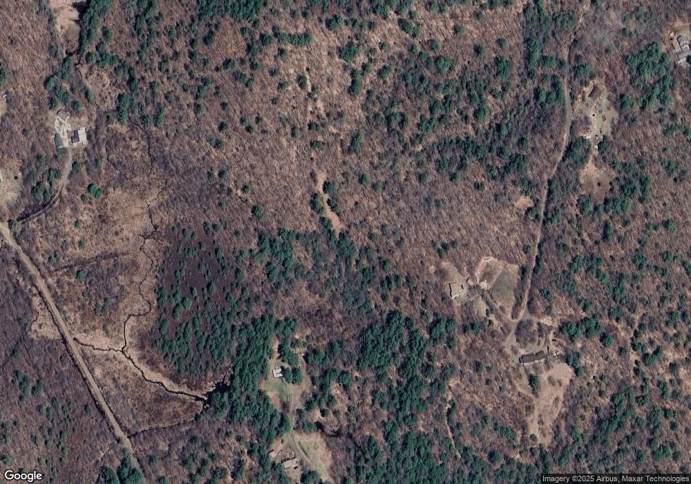
Map
Nearby Homes
- 1025 Route 123 N
- 1018 Route 123 N
- 16 Stone Rd
- 61 Old Antrim Rd
- 321 Route 123 N
- 114 Eva Ln
- 00 Kennedy Brook Dr Unit 11
- 00 Scenic Dr Unit 22
- 42-11 Route 9
- 906 Shedd Hill Rd
- 116 Beaver Lake Dr
- 1016 Shedd Hill Rd
- 0 Juniper Hill Rd Unit 5051120
- 22 Lakeview Terrace
- 0 Old Stoddard Rd
- 2167 Valley Rd
- 00 Old County Rd Unit 13
- 6 Mill St
- 162 Rocky Ledge Rd
- 32 Old Stoddard Rd
- 143 & 151 Tigola Unit 143 & 151
- Lots 66-69 S Hidden Lake
- 265 Mills Rd
- 415 Mount Stoddard Rd
- 183 Mount Stoddard Rd
- 183 Mt Stoddard Rd
- 219 Mount Stoddard Rd
- 250 Mill Rd
- 167 Mount Stoddard Rd
- 131 Mills Rd
- 127 Mount Stoddard Rd
- 1489 Route 123 N
- 150 Old Forest Rd
- 162 Old Forest Rd
- 1381 Route 123 N
- 99 Mount Stoddard Rd
- 184 Old Forest Rd
- M105 L20-21 & L28-29 Powerline Rd
- Map 107 Lot 14 Tigola Trail
- 110 N Shore Rd