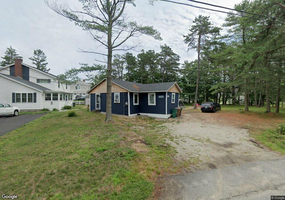
385 Seaside Ave Saco, ME 04072
Bay View NeighborhoodEstimated Value: $585,000 - $1,305,000
3
Beds
1
Bath
864
Sq Ft
$971/Sq Ft
Est. Value
About This Home
This home is located at 385 Seaside Ave, Saco, ME 04072 and is currently estimated at $839,105, approximately $971 per square foot. 385 Seaside Ave is a home located in York County with nearby schools including C K Burns School, Saco Middle School, and Florence Lombard Christian School.
Ownership History
Date
Name
Owned For
Owner Type
Purchase Details
Closed on
Aug 26, 2021
Sold by
Rowlands Elisabeth A
Bought by
Swain Christopher S and Swain Jeanette L
Current Estimated Value
Home Financials for this Owner
Home Financials are based on the most recent Mortgage that was taken out on this home.
Original Mortgage
$548,250
Outstanding Balance
$498,867
Interest Rate
2.8%
Mortgage Type
Purchase Money Mortgage
Estimated Equity
$340,238
Create a Home Valuation Report for This Property
The Home Valuation Report is an in-depth analysis detailing your home's value as well as a comparison with similar homes in the area
Home Values in the Area
Average Home Value in this Area
Purchase History
| Date | Buyer | Sale Price | Title Company |
|---|---|---|---|
| Swain Christopher S | -- | None Available |
Source: Public Records
Mortgage History
| Date | Status | Borrower | Loan Amount |
|---|---|---|---|
| Open | Swain Christopher S | $548,250 |
Source: Public Records
Tax History
| Year | Tax Paid | Tax Assessment Tax Assessment Total Assessment is a certain percentage of the fair market value that is determined by local assessors to be the total taxable value of land and additions on the property. | Land | Improvement |
|---|---|---|---|---|
| 2024 | $7,826 | $557,000 | $448,900 | $108,100 |
| 2023 | $8,216 | $557,000 | $448,900 | $108,100 |
| 2022 | $7,821 | $426,700 | $342,500 | $84,200 |
| 2021 | $7,480 | $396,200 | $323,700 | $72,500 |
| 2020 | $7,528 | $382,700 | $316,000 | $66,700 |
| 2019 | $7,417 | $382,700 | $316,000 | $66,700 |
| 2018 | $7,273 | $375,300 | $308,600 | $66,700 |
| 2017 | $6,715 | $346,500 | $280,600 | $65,900 |
| 2016 | $6,805 | $350,400 | $278,500 | $71,900 |
| 2015 | $6,020 | $313,200 | $242,300 | $70,900 |
| 2014 | $5,742 | $308,400 | $237,500 | $70,900 |
| 2013 | $5,704 | $307,000 | $236,100 | $70,900 |
Source: Public Records
Map
Nearby Homes
- 280 Seaside Ave
- 311 Seaside Ave Unit 5
- 30 Vines Rd
- 3 Walker Dr Unit 101
- 4 Walker Dr Unit 101
- 3 Walker Dr Unit 101
- TBD 530 Ferry Rd
- 295 Ferry Rd
- 146 W Grand Ave Unit 52
- 2 Union Ave
- 4 Union Ave
- 46 Ferry Ln
- 163 Temple Ave Unit 163
- 163 Temple Ave
- 16 Union Ave
- 7 Bay Ave Unit 10
- 10 Lower Beach Rd
- 7 Fern Ave
- 9 Fern Ave
- 1 Main Ave
- 391 Seaside Ave
- 9 Seagrass Ln
- 9 Seagrass Ln
- 395 Seaside Ave
- 373 Seaside Ave
- 380 Seaside Ave
- 3 Anthony Estate
- 397 Seaside Ave
- 379 Seaside Ave
- 377 Seaside Ave
- 5 Seagrass Ln
- 399 Seaside Ave
- 375 Seaside Ave
- 403 Seaside Ave
- 401 Seaside Ave
- 371 Seaside Ave
- 367 Seaside Ave
- 405 Seaside Ave
- 365 Seaside Ave
- 409 Seaside Ave
Your Personal Tour Guide
Ask me questions while you tour the home.