385 Sr 1014 Nicholson, PA 18446
Estimated Value: $190,000 - $411,000
Studio
--
Bath
--
Sq Ft
147,625
Sq Ft Lot
About This Home
This home is located at 385 Sr 1014, Nicholson, PA 18446 and is currently estimated at $265,207. 385 Sr 1014 is a home located in Wyoming County with nearby schools including Lackawanna Trail Elementary Center and Lackawanna Trail Junior/Senior High School.
Ownership History
Date
Name
Owned For
Owner Type
Purchase Details
Closed on
Apr 2, 2018
Sold by
Ransom Lorie A D and Ransom Eric
Bought by
Sands Shane A
Current Estimated Value
Home Financials for this Owner
Home Financials are based on the most recent Mortgage that was taken out on this home.
Original Mortgage
$140,409
Outstanding Balance
$120,721
Interest Rate
4.43%
Mortgage Type
FHA
Estimated Equity
$144,486
Create a Home Valuation Report for This Property
The Home Valuation Report is an in-depth analysis detailing your home's value as well as a comparison with similar homes in the area
Home Values in the Area
Average Home Value in this Area
Purchase History
| Date | Buyer | Sale Price | Title Company |
|---|---|---|---|
| Sands Shane A | $143,000 | -- |
Source: Public Records
Mortgage History
| Date | Status | Borrower | Loan Amount |
|---|---|---|---|
| Open | Sands Shane A | $140,409 |
Source: Public Records
Tax History
| Year | Tax Paid | Tax Assessment Tax Assessment Total Assessment is a certain percentage of the fair market value that is determined by local assessors to be the total taxable value of land and additions on the property. | Land | Improvement |
|---|---|---|---|---|
| 2025 | $4,202 | $34,490 | $3,445 | $31,045 |
| 2024 | $3,551 | $29,155 | $3,445 | $25,710 |
| 2023 | $3,538 | $29,155 | $3,445 | $25,710 |
| 2022 | $3,552 | $29,155 | $3,445 | $25,710 |
| 2021 | $3,537 | $29,155 | $3,445 | $25,710 |
| 2020 | $3,604 | $29,155 | $3,445 | $25,710 |
| 2019 | $3,599 | $29,155 | $3,445 | $25,710 |
| 2018 | $3,317 | $29,155 | $3,445 | $25,710 |
| 2017 | $3,195 | $0 | $0 | $0 |
| 2016 | -- | $0 | $0 | $0 |
| 2015 | -- | $0 | $0 | $0 |
| 2014 | -- | $0 | $0 | $0 |
Source: Public Records
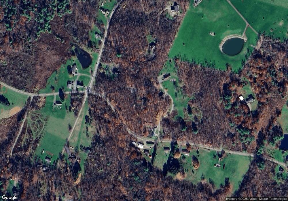
Map
Nearby Homes
- 330 Pedrick Rd
- 212 Wright Way
- 13 Hillside Dr
- 672 Spencer Hill Rd
- 0 Lewis Unit GSBSC260374
- 1253 Bacontown Rd
- 115 State St
- 70 State St
- 5150 Station Hill Rd
- 141 College Ave
- 98 College Ave
- 62 Timber Trail
- 49 College Ave
- 1 Capwell Ave
- 0 Baylors Pond Rd Unit 25-4015
- 58 Davison Rd
- 2037 Sr4016
- 2117 E Laplume Rd
- 106 Lexington Dr Unit 1
- 0 Sr 4014 Unit GSBSC3273
- 00 State Route 1014
- 284 State Route 1014
- 0 State Route 1014
- 109 Kodish Mtn Ln
- 154 Kodish Mtn Ln
- 111 Spencer Hill Rd
- 134 Spencer Hill Rd
- 436 Sr 1014
- 348 State Route 1014 (Box2100 Rr2) Rd
- 348 Sr 1014
- 145 Spencer Hill Rd
- 2549 Rr 2
- 3203A Rr 3
- 2196 Rr 2
- 141 Lengel Rd
- 2042 Rr 2
- 2749 Rr 2
- 3247 Rr 3
- 712 Fields Brook Rd
- 2644 Rr 2
Your Personal Tour Guide
Ask me questions while you tour the home.